world.wikisort.org - Australia
Cooee Bay is a coastal locality in the Livingstone Shire, Queensland, Australia.[2] In the 2016 census Cooee Bay had a population of 913 people.[1]
| Cooee Bay Queensland | |||||||||||||||
|---|---|---|---|---|---|---|---|---|---|---|---|---|---|---|---|
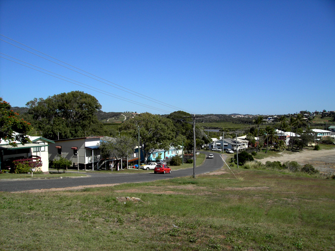
 Beach at Cooee Bay, 2009 | |||||||||||||||
 Cooee Bay | |||||||||||||||
| Coordinates | 23.1422°S 150.7594°E | ||||||||||||||
| Population | 913 (2016 census)[1] | ||||||||||||||
| • Density | 108.7/km2 (281.5/sq mi) | ||||||||||||||
| Postcode(s) | 4703 | ||||||||||||||
| Area | 8.4 km2 (3.2 sq mi) | ||||||||||||||
| Time zone | AEST (UTC+10:00) | ||||||||||||||
| Location |
| ||||||||||||||
| LGA(s) | Shire of Livingstone | ||||||||||||||
| State electorate(s) | Keppel | ||||||||||||||
| Federal division(s) | Capricornia | ||||||||||||||
| |||||||||||||||
Geography
Cooee Bay is bounded to the east by the Coral Sea. It is centrally located on the Capricorn Coast, two kilometres south of Yeppoon, and 17 kilometres (11 mi) north of Emu Park.[3]
Like its neighbouring suburb Taranganba, Cooee Bay is separated from Yeppoon by Ross Creek, a popular fishing location.[3]
Cooee Bay has the following headlands (from north to south):
- Wave Point (23.1387°S 150.7578°E)[4][5]
- Keppel Outlook (23.1390°S 150.7590°E)[4][6]
- Wreck Point (23.1440°S 150.7643°E)[4][7]
These headlands create a number of small bays (from north to south):
- Yeppoon Inlet at the mouth of Ross Creek (23.1362°S 150.7515°E)[8]
- Fishermans Bay (23.1375°S 150.7533°E) south of the mount of Ross Creek[9]
- Brumms Cove (23.1388°S 150.7583°E) between Wave Point and Keppel Outlook[10]
- Cooee Bay (23.1409°S 150.7605°E) south of Keppel Outlook[11]
Matthew Flinders Drive is an alternative tourist deviation from the Scenic Highway, which travels up to Wreck Point. From the lookout, the visitor can enjoy views to Byfield, Great Keppel Island, and Rosslyn.[3]
Cooee Bay is an established but eclectic community which is reflected in the myriad styles of homes. Much of the back blocks contain weatherboard or fibro homes well over a century old, while facing the bay are palatial award-winning homes.[citation needed]
History
Cooee Bay Post Office opened on 18 September 1961 by Don and Edna Schabe who had previously owned the Cooee Bay General Store. There is a memorial to Don Schabe in the park for his contribution to the Cooee Bay Progress Association. Prior to the opening of the post office, a receiving office had been open from 1894. The post office closed in 1977.[12]
During World War 2 Cooee Bay was heavily occupied by the US Army.[13]
In the 2006 census, Cooee Bay had a population of 1,275 people.[14]
Prior to local government amalgamations in 2008, the Capricorn Coast was administered by Livingstone Shire Council. From 2008 to 2013 it was administered by Rockhampton Region. From 1 January 2014, the Shire of Livingstone was restored and now administers Cooee Bay.
In the 2016 census Cooee Bay had a population of 913 people.[1]
Community
Cooee Bay is a vibrant community with extensive residential developments and investments injecting the area with new growth.[citation needed]
The residents of Cooee Bay are a mix of fishermen, miners, retirees, and business professionals, many of whom prefer to commute to Rockhampton City for work but live on the coast.[citation needed]
See also
- Capricorn Coast
- Yeppoon
References
- Australian Bureau of Statistics (27 June 2017). "Cooee Bay (SSC)". 2016 Census QuickStats. Retrieved 20 October 2018.
- "Cooee Bay – locality in Livingstone Shire (entry 48577)". Queensland Place Names. Queensland Government. Retrieved 27 December 2020.
- "Queensland Globe". State of Queensland. Retrieved 3 February 2021.
- "Mountain peaks and capes - Queensland". Queensland Open Data. Queensland Government. 12 November 2020. Archived from the original on 25 November 2020. Retrieved 25 November 2020.
- "Wave Point – mountain in Livingstone Shire (entry 36828)". Queensland Place Names. Queensland Government. Retrieved 25 November 2020.
- "Keppel Outlook – mountain in Livingstone Shire (entry 18001)". Queensland Place Names. Queensland Government. Retrieved 25 November 2020.
- "Wreck Point – mountain in Livingstone Shire (entry 38190)". Queensland Place Names. Queensland Government. Retrieved 25 November 2020.
- "Bays - Queensland". Queensland Open Data. Queensland Government. 12 November 2020. Archived from the original on 25 November 2020. Retrieved 25 November 2020.
- "Fishermans Bay – bay in Livingstone Shire (entry 12531)". Queensland Place Names. Queensland Government. Retrieved 27 December 2020.
- "Brumms Cove – bay in Livingstone Shire (entry 4828)". Queensland Place Names. Queensland Government. Retrieved 27 December 2020.
- "Cooee Bay – bay in Livingstone Shire (entry 8025)". Queensland Place Names. Queensland Government. Retrieved 27 December 2020.
- Premier Postal History. "Post Office List". Premier Postal Auctions. Archived from the original on 15 May 2014. Retrieved 10 May 2014.
- "Camp Yeppoon (US) Rehabilitation and Training facility". Queensland World War II Historic Places. Queensland Government. Archived from the original on 8 June 2017. Retrieved 9 June 2017.
- Australian Bureau of Statistics (25 October 2007). "Cooee Bay". 2006 Census QuickStats. Retrieved 3 February 2021.
Другой контент может иметь иную лицензию. Перед использованием материалов сайта WikiSort.org внимательно изучите правила лицензирования конкретных элементов наполнения сайта.
WikiSort.org - проект по пересортировке и дополнению контента Википедии