world.wikisort.org - Australia
Burwood Heights is a suburb in the Inner West[2] of Sydney, in the state of New South Wales, Australia. It is located 10 kilometres west of the Sydney central business district and is situated within the local government area of Municipality of Burwood.
| Burwood Heights Sydney, New South Wales | |||||||||||||||
|---|---|---|---|---|---|---|---|---|---|---|---|---|---|---|---|
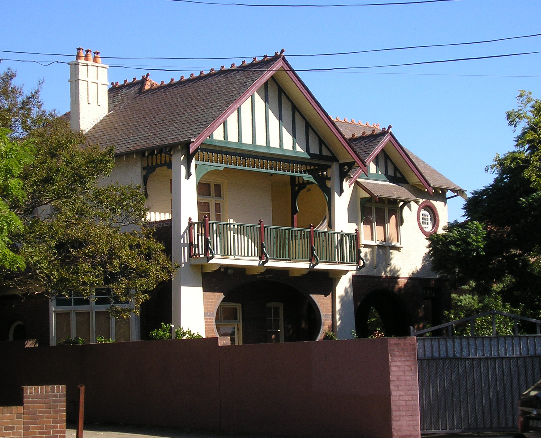
 Federation house on Liverpool Road | |||||||||||||||
 | |||||||||||||||
| Population | 989 (2016 census)[1] | ||||||||||||||
| • Density | 3,300/km2 (8,500/sq mi) | ||||||||||||||
| Postcode(s) | 2136 | ||||||||||||||
| Area | 0.3 km2 (0.1 sq mi) | ||||||||||||||
| Location | 10 km (6 mi) from Sydney CBD | ||||||||||||||
| LGA(s) | Municipality of Burwood | ||||||||||||||
| State electorate(s) | Strathfield | ||||||||||||||
| Federal division(s) | Watson | ||||||||||||||
| |||||||||||||||
Burwood Heights is a residential suburb with no shops, schools or any public buildings. The postcode is 2136, the same as neighbouring Enfield. Burwood is a separate suburb, to the north.
History
The Geographical Names Board of New South Wales assigned Burwood Heights the status of a separate suburb on 19 January 2007.[3]
Population
According to the 2016 census of Population, there were 989 residents in Burwood Heights. 51.7% of people were born in Australia. The next most common country of birth was China (excludes SARs and Taiwan) at 13.4%. 38.7% of people spoke only English at home. Other languages spoken at home included Mandarin 12.6% and Italian 10.1%. The most common responses for religion were Catholic 33.8% and No Religion 24.3%.[1]
 | The image captions in this gallery require cleanup to comply with Wikipedia guidelines. (March 2019) |


 Possibly 70 Burwood Road Burwood Heights
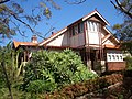 72 Liverpool Road Burwood Heights
 74 Liverpool Road Burwood Heights
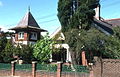 78 Liverpool Road Burwood Heights
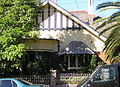 78 Liverpool Road side view Burwood Heights
 92 Liverpool Road Burwood Heights
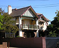 92 Liverpool Road Burwood Heights


References
- Australian Bureau of Statistics (27 June 2017). "Burwood Heights (State suburb)". 2016 Census QuickStats. Retrieved 11 April 2018.
- Australian Suburb Guide: Sydney Inner West Archived 26 December 2012 at the Wayback Machine. Retrieved 7 August 2013.
- "Geographical Names Board Register". Retrieved 4 April 2014.
This article related to the geography of Sydney is a stub. You can help Wikipedia by expanding it. |
Другой контент может иметь иную лицензию. Перед использованием материалов сайта WikiSort.org внимательно изучите правила лицензирования конкретных элементов наполнения сайта.
WikiSort.org - проект по пересортировке и дополнению контента Википедии