world.wikisort.org - Australia
Bongeen is a rural locality in the Toowoomba Region, Queensland, Australia.[2] In the 2016 census, Bongeen had a population of 75 people.[1]
| Bongeen Queensland | |||||||||||||||
|---|---|---|---|---|---|---|---|---|---|---|---|---|---|---|---|
 Bags of wheat being delivered by motor vehicles at the grain shed, 1934 | |||||||||||||||
 Bongeen | |||||||||||||||
| Coordinates | 27.52°S 151.4533°E | ||||||||||||||
| Population | 75 (2016 census)[1] | ||||||||||||||
| • Density | 0.670/km2 (1.734/sq mi) | ||||||||||||||
| Postcode(s) | 4356 | ||||||||||||||
| Area | 112.0 km2 (43.2 sq mi) | ||||||||||||||
| Time zone | AEST (UTC+10:00) | ||||||||||||||
| Location |
| ||||||||||||||
| LGA(s) | Toowoomba Region | ||||||||||||||
| State electorate(s) | Condamine | ||||||||||||||
| Federal division(s) | Groom | ||||||||||||||
| |||||||||||||||
Geography
The now-closed Cecil Plains railway line passed through the locality. There were two railway stations within the locality on the line (both abandoned):[3][4]
- Bongeen railway station (27.5663°S 151.4461°E)
- Norillee railway station (27.5703°S 151.4784°E)
The Toowoomba–Cecil Plains Road runs through from east to west.[5]
History
Bongeen State School opened on 4 May 1939.[6] It was mothballed on 31 December 2005 and closed on 31 December 2006.[7] It was at 7-15 Bongeen School Road (north-west corner of Pipeline Road, 27.5805°S 151.4450°E).[8][9][4]
Bongeen Church of Christ opened 1964, opposite the school.[10]
In the 2016 census, Bongeen had a population of 75 people.[1]
Education
There are no schools in Bongeen. The nearest government primary schools are Mount Tyson State School in neighbouring Mount Tyson to the east, Brookstead State School in neighbouring Brookstead to the south, and Jondaryan State School in Jondaryan to the north-west. The nearest government secondary schools are Cecil Plains State School (to Year 10) in Cecil Plains to the west, Pittsworth State High School (to Year 12) in Pittsworth to the south-east, and Oakey State High School (to Year 12) in Oakey to the north-east.[4]
Amenities
Bongeen Church of Christ is on the north-east corner of Bongeen School Road and Pipeline Road (27.5807°S 151.4458°E).[11][10][12][4]
References
- Australian Bureau of Statistics (27 June 2017). "Bongeen (SSC)". 2016 Census QuickStats. Retrieved 20 October 2018.
- "Bongeen – locality in Toowoomba Region (entry 47893)". Queensland Place Names. Queensland Government. Retrieved 7 March 2022.
- "Railway stations and sidings - Queensland". Queensland Open Data. Queensland Government. 2 October 2020. Archived from the original on 5 October 2020. Retrieved 5 October 2020.
- "Queensland Globe". State of Queensland. Retrieved 22 April 2022.
- Google (13 February 2022). "Bongeen" (Map). Google Maps. Google. Retrieved 13 February 2022.
- Queensland Family History Society (2010), Queensland schools past and present (Version 1.01 ed.), Queensland Family History Society, ISBN 978-1-921171-26-0
- "Queensland state school - centre closures" (PDF). Queensland Government. 20 August 2013. Archived (PDF) from the original on 20 March 2022. Retrieved 6 April 2022.
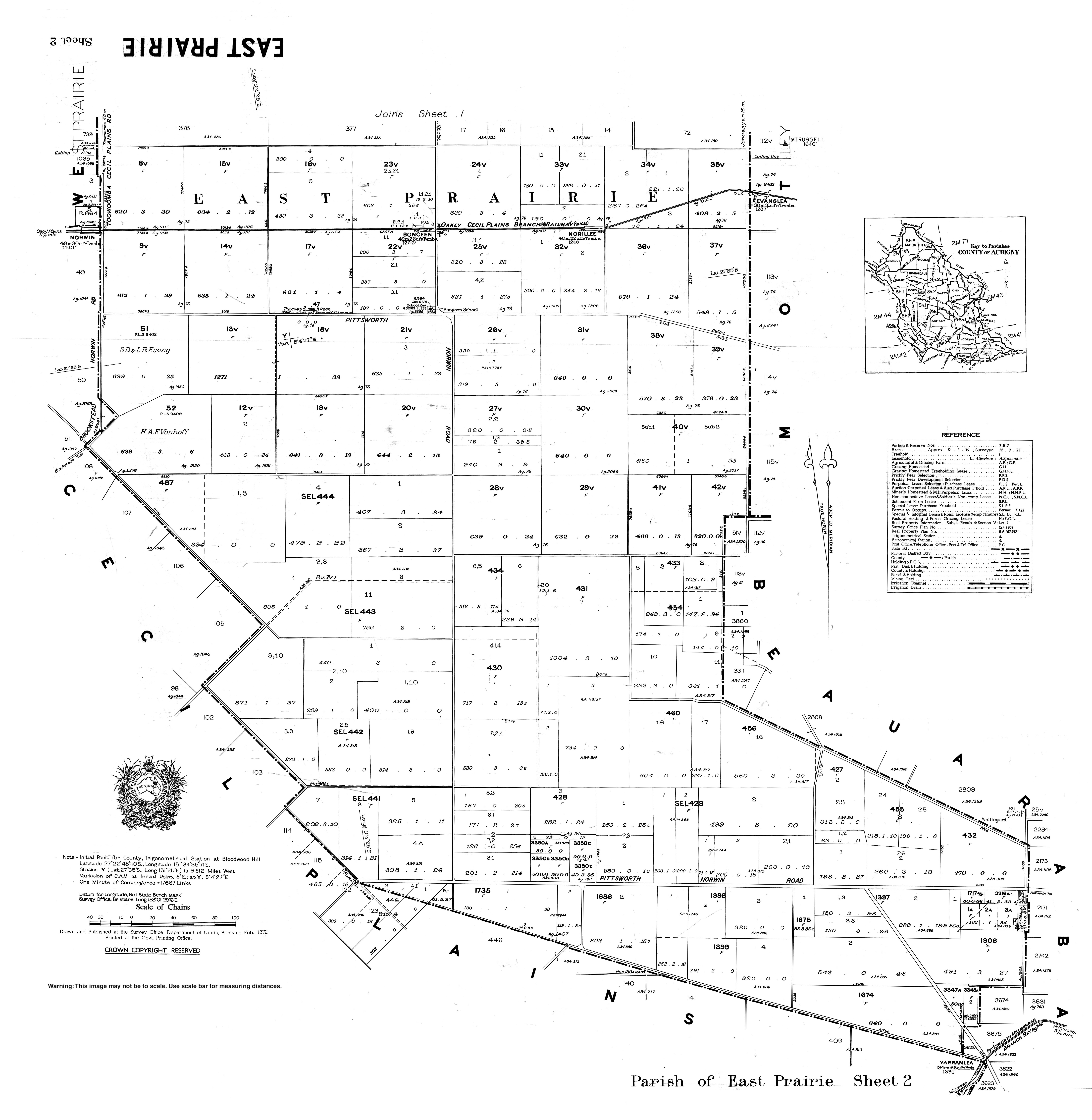
- "Parish of East Prairie sheet 2" (Map). Queensland Government. 1972. Archived from the original on 22 April 2022. Retrieved 22 April 2022.
- "9142 Millmerran" (Map). Queensland Government. 1981. Archived from the original on 22 April 2022. Retrieved 22 April 2022.
- Blake, Thom. "Bongeen Church of Christ". Queensland religious places database. Archived from the original on 22 April 2022. Retrieved 22 April 2022.
- "Bongeen Church of Christ". Archived from the original on 22 April 2022. Retrieved 22 April 2022.
- "Bongeen Church". Churches Australia. Archived from the original on 9 August 2020. Retrieved 22 April 2022.
Further reading
- Bongeen State School 50th jubilee : 6th May, 1989, Bongeen State School, 1989
Другой контент может иметь иную лицензию. Перед использованием материалов сайта WikiSort.org внимательно изучите правила лицензирования конкретных элементов наполнения сайта.
WikiSort.org - проект по пересортировке и дополнению контента Википедии