world.wikisort.org - Australia
Bellenden Ker is a rural town and locality in the Cairns Region, Queensland, Australia.[2][3] In the 2016 census, the locality of Bellenden Ker had a population of 252 people.[1]
| Bellenden Ker Queensland | |||||||||||||||
|---|---|---|---|---|---|---|---|---|---|---|---|---|---|---|---|
 Looking from Telecom Road in the locality of Bellenden Ker toward the mountain summit, 2018 | |||||||||||||||
 Bellenden Ker | |||||||||||||||
| Coordinates | 17.2611°S 145.9252°E | ||||||||||||||
| Population | 252 (2016 census)[1] | ||||||||||||||
| • Density | 7.900/km2 (20.46/sq mi) | ||||||||||||||
| Postcode(s) | 4871 | ||||||||||||||
| Area | 31.9 km2 (12.3 sq mi) | ||||||||||||||
| Time zone | AEST (UTC+10:00) | ||||||||||||||
| Location | |||||||||||||||
| LGA(s) | Cairns Region | ||||||||||||||
| State electorate(s) | Hill | ||||||||||||||
| Federal division(s) | Kennedy | ||||||||||||||
| |||||||||||||||
History

Bellenden Ker State School opened on 14 August 1922.[4][5]

Bellenden Ker Post Office opened on 1 July 1936 and closed on 23 November 1974.[6]
In the 2011 census, Bellenden Ker had a population of 475 people.[7]
In the 2016 census, the locality of Bellenden Ker had a population of 252 people.[1]
Education
Bellenden Ker State School is a government primary (Prep-6) school for boys and girls at Harvey Creek Road (17.2666°S 145.9251°E).[8][9] In 2018, the school had an enrolment of 10 students with 2 teachers (1 full-time equivalent) and 4 non-teaching staff (1 full-time equivalent).[10]
There are no secondary schools in Bellenden Ker. The nearest government secondary school is Babina State School in neighbouring Babinda to the south.[11]
Amenities

There is a boat ramp with jetty on the Russell River Road on the north bank of the Russell River (17.2726°S 145.9484°E). It is managed by the Cairns Regional Council.[12]
References
- Australian Bureau of Statistics (27 June 2017). "Bellenden Ker (SSC)". 2016 Census QuickStats. Retrieved 20 October 2018.
- "Bellenden Ker – town in Cairns Region (entry 2180)". Queensland Place Names. Queensland Government. Retrieved 6 March 2022.
- "Bellenden Ker – locality in Cairns Region (entry 48522)". Queensland Place Names. Queensland Government. Retrieved 6 March 2022.
- "Opening and closing dates of Queensland Schools". Queensland Government. Retrieved 18 April 2019.
- "History". Bellenden Ker State School. 6 June 2019. Archived from the original on 1 March 2022. Retrieved 12 June 2022.
- "Bellenden Ker". Post Office Reference. Phoenix Auctions. Archived from the original on 12 June 2022. Retrieved 20 March 2021.
- Australian Bureau of Statistics (31 October 2012). "Bellenden Ker". 2011 Census QuickStats. Retrieved 27 July 2017.
- "State and non-state school details". Queensland Government. 9 July 2018. Archived from the original on 21 November 2018. Retrieved 21 November 2018.
- "Bellenden Ker State School". Bellenden Ker State School. 21 May 2019. Archived from the original on 18 March 2022. Retrieved 12 June 2022.
- "ACARA School Profile 2018". Australian Curriculum, Assessment and Reporting Authority. Archived from the original on 27 August 2020. Retrieved 28 January 2020.
- "Queensland Globe". State of Queensland. Retrieved 12 June 2022.
- "Recreational Boating Facilities Queensland". Queensland Open Data. Queensland Government. 12 November 2020. Archived from the original on 22 November 2020. Retrieved 22 November 2020.
Further reading
- Bellenden Ker State School 1922-1997 : a commemorative booklet the depicts the history of and story of Bellenden Ker School from past to present day. : 75 anniversary. Bellenden Ker State Primary School 75th Committee. 1997.
External links
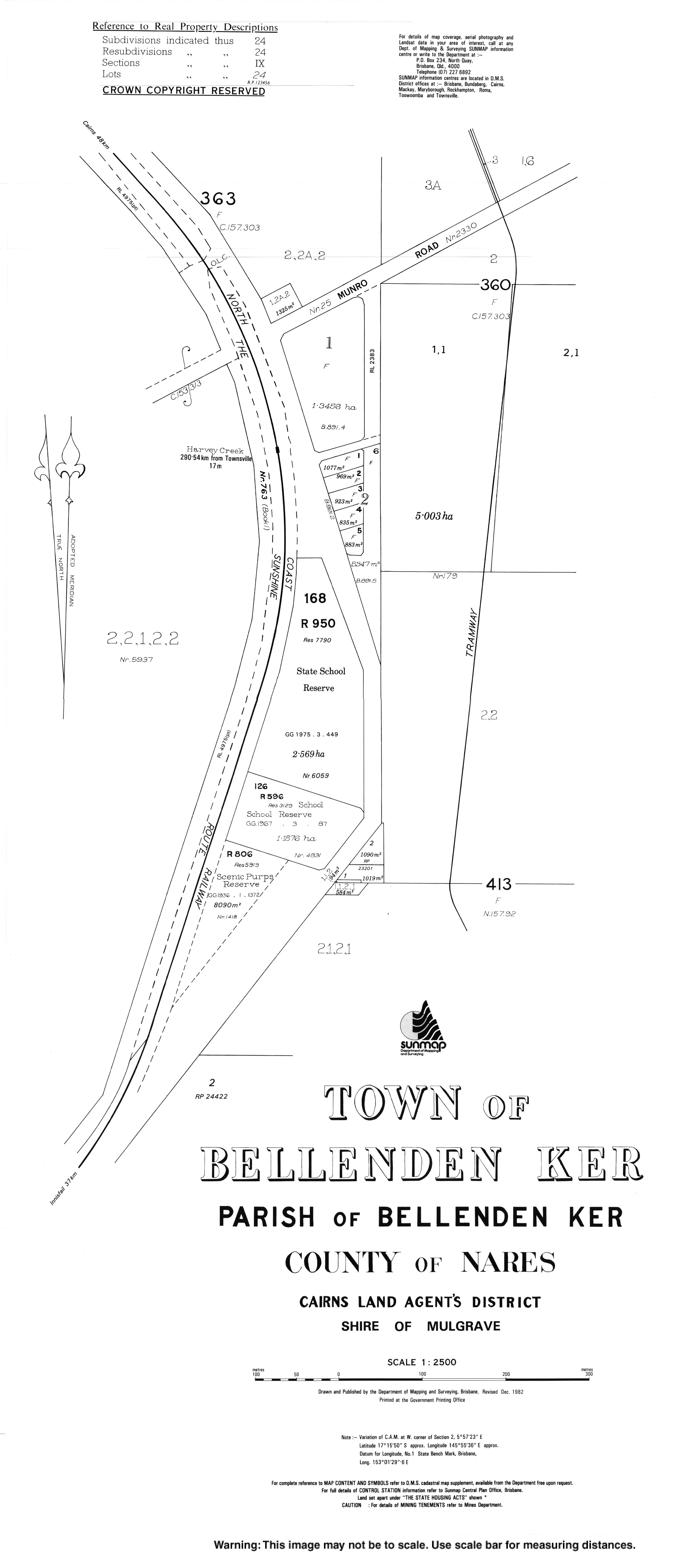
- "Town map of Bellenden Ker". Queensland Government. 1982.
Другой контент может иметь иную лицензию. Перед использованием материалов сайта WikiSort.org внимательно изучите правила лицензирования конкретных элементов наполнения сайта.
WikiSort.org - проект по пересортировке и дополнению контента Википедии