world.wikisort.org - Australia
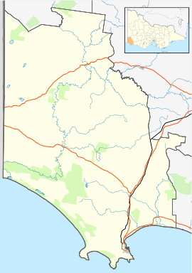
Bahgallah is an isolated farming town in Victoria, Australia. It is located south of the Glenelg Highway. At the 2016 census, Bahgallah recorded a population of 35.[1]
| Bahgallah Victoria | |
|---|---|
 | |
 Bahgallah | |
| Coordinates | 37°38′S 141°23′E |
| Population | 35 (2016 census)[1] |
| Postcode(s) | 3312 [2] |
| LGA(s) | Shire of Glenelg |
| State electorate(s) | South-West Coast |
| Federal division(s) | Wannon |
Traditional Ownership
The formally recognised Traditional Owners for the area in which Bahgallah sits are the Gunditjmara People.[3] The Gunditjmara People are represented by the Gunditj Mirring Traditional Owners Aboriginal Corporation.[4]
Demographics
As of the 2016 census, 35 people resided in Bahgallah. The median age of persons in Bahgallah was 54 years.[1] There were more males than females with 57.5% of the population male and 42.5% female.[1] The average household size is 1.7 people per household.[1]
History
A wooden school was built in Bahgallah in 1875.[1] Prior to the school being built few children in the area travelled to denominational schools in Tasmania or attended one of the three schools in Casterton.[5] A proposal was made in 1872 by a local committee to build a school in Bahgallah and in 1875 the school was opened with 20 students.[5] By the end of that year 55 children had enrolled.[5] Until the present day, 35 teachers have taught more than 800 children in this school.[5]
An honor roll board in Balgallah Soldiers Memorial Hall remembers 38 Old Scholars ad 14 District Volunteers who signed up for World War I.[6][7] Of those, 15 lost their lives in the war.[6]
Reference List
- Australian Bureau of Statistics (27 June 2017). "Bahgallah (State Suburb)". 2016 Census QuickStats. Retrieved 2 June 2019.
- "3312 Postcode".
- "Map of formally recognised traditional owners". Aboriginal Victoria. Retrieved 2 June 2019.
- "Gunditj Mirring Traditional Owners Aboriginal Corporation". Gunditj Mirring Traditional Owners Aboriginal Corporation. Retrieved 2 June 2019.
- "Bahgallah SS 1586". Casterton & District Historical Society. Retrieved 2 June 2019.
- "The villages that can never forget the boys they lost in Flanders". The Age. 11 November 2018. Retrieved 2 June 2019.
- "Bahgallah Old Scholars & District Volunteers Honour Roll". Casterton & District Historical Society. Retrieved 2 June 2019.
Другой контент может иметь иную лицензию. Перед использованием материалов сайта WikiSort.org внимательно изучите правила лицензирования конкретных элементов наполнения сайта.
WikiSort.org - проект по пересортировке и дополнению контента Википедии