world.wikisort.org - USA
Dousman is a village in Waukesha County, Wisconsin, United States. The population was 2,302 at the 2010 census.
Dousman, Wisconsin | |
|---|---|
Village | |
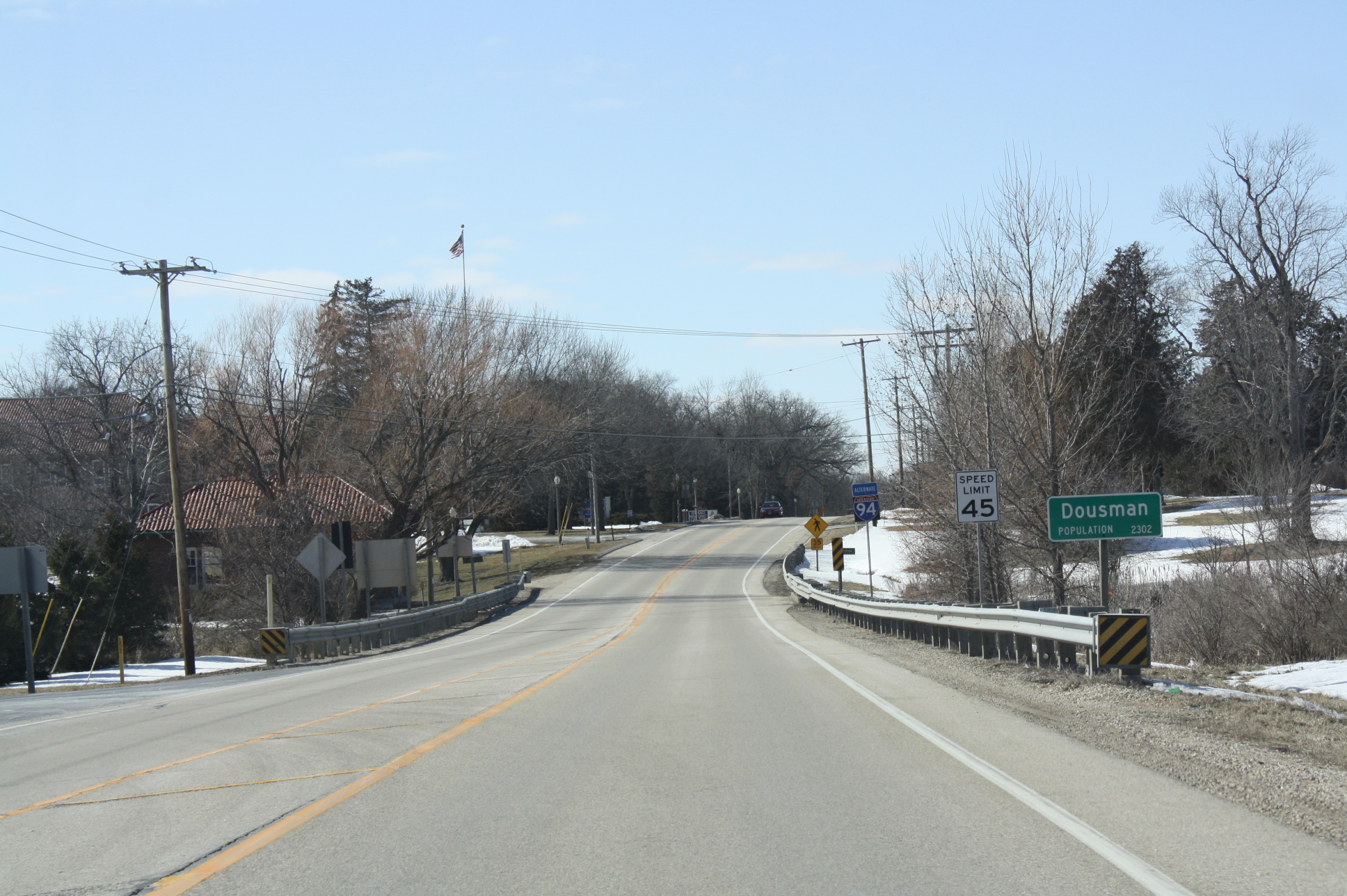
 Looking west at Dousman | |
 Location of Dousman in Waukesha County, Wisconsin. | |
| Coordinates: 43°0′53″N 88°28′21″W | |
| Country | |
| State | |
| County | Waukesha |
| Settled | May 6, 1882[1] |
| Area | |
| • Total | 2.77 sq mi (7.17 km2) |
| • Land | 2.63 sq mi (6.82 km2) |
| • Water | 0.14 sq mi (0.35 km2) |
| Elevation | 866 ft (264 m) |
| Population (2010)[4] | |
| • Total | 2,302 |
| • Estimate (2019)[5] | 2,328 |
| • Density | 884.50/sq mi (341.54/km2) |
| Time zone | UTC-6 (Central (CST)) |
| • Summer (DST) | UTC-5 (CDT) |
| ZIP Code | 53118 |
| Area code(s) | 262 |
| FIPS code | 55-20550[6] |
| GNIS feature ID | 1564086[3] |
| Website | www |
History
A post office called Dousman has been in operation since 1856.[7] Founded in 1881, the village was named for Talbot C. Dousman, a local farmer and businessman who helped bring the Chicago and North Western railroad to the area.[8][9] The village was incorporated in 1917.[9]
The village was at one time[when?] called "Bullfrog Station" because of the numerous bullfrogs in the area. The local baseball team is still called the Dousman Frogs and an annual frog jumping competition takes place during Dousman's Derby Days.[10]
The Dousman Community is very catholic based. Deb's Diner even had Fish Fry Fridays for the Catholics. There are two catholic churches St. Mary and St. Bruno. Most of the people who first came to Dousman were Catholic.
Geography
Dousman is located at 43°0′53″N 88°28′21″W (43.014801, -88.472564).[11]
According to the United States Census Bureau, the village has a total area of 2.68 square miles (6.94 km2), of which, 2.58 square miles (6.68 km2) of it is land and 0.10 square miles (0.26 km2) is water.[12]
The Glacial Drumlin State Trail, a 47-mile-long (76 km) hiking-biking-snowmobile trail that runs east-west between the towns of Cottage Grove and Waukesha, passes through the middle of Dousman. The trail is on the former roadbed of the Chicago & North Western Railway.
Restaurants
- The Red Tent
- Sunny Side Up
- Najera's Pizza
- The Dousman House. Bark river yacht club
Santa Comes to Dousman
Santa comes to Dousman is an event that happens every year during the month of December. The event has a snack bar for snacks, and occasionally the local 4-H club comes out and sells baked goods. Santa Comes to Dousman gets its name because "Santa" comes and lets children sit on his lap for fun. After the kids sit on his lap they traditionally get a plush toy. Outside the event are fun ice sculptures that were recently carved.
Demographics
| Historical population | |||
|---|---|---|---|
| Census | Pop. | %± | |
| 1920 | 235 | — | |
| 1930 | 256 | 8.9% | |
| 1940 | 272 | 6.3% | |
| 1950 | 328 | 20.6% | |
| 1960 | 410 | 25.0% | |
| 1970 | 451 | 10.0% | |
| 1980 | 1,153 | 155.7% | |
| 1990 | 1,277 | 10.8% | |
| 2000 | 1,584 | 24.0% | |
| 2010 | 2,302 | 45.3% | |
| 2019 (est.) | 2,328 | [5] | 1.1% |
| U.S. Decennial Census[13] | |||
2010 census
As of the census[4] of 2010, there were 2,302 people, 905 households, and 585 families living in the village. The population density was 892.2 inhabitants per square mile (344.5/km2). There were 975 housing units at an average density of 377.9 per square mile (145.9/km2). The racial makeup of the village was 96.8% White, 0.7% African American, 0.5% Native American, 0.9% Asian, 0.1% from other races, and 1.0% from two or more races. Hispanic or Latino of any race were 2.9% of the population.
There were 905 households, of which 35.5% had children under the age of 18 living with them, 51.8% were married couples living together, 9.0% had a female householder with no husband present, 3.9% had a male householder with no wife present, and 35.4% were non-families. 30.8% of all households were made up of individuals, and 19.3% had someone living alone who was 65 years of age or older. The average household size was 2.44 and the average family size was 3.08.
The median age in the village was 40.9 years. 26.2% of residents were under the age of 18; 6.1% were between the ages of 18 and 24; 24.4% were from 25 to 44; 25.1% were from 45 to 64; and 18.1% were 65 years of age or older. The gender makeup of the village was 46.5% male and 53.5% female.
2000 census
As of the census[6] of 2000, there were 1,584 people, 575 households, and 393 families living in the village. The population density was 1,284.2 people per square mile (497.2/km2). There were 587 housing units at an average density of 475.9 per square mile (184.3/km2). The racial makeup of the village was 96.59% White, 0.57% African American, 0.06% Native American, 0.82% Asian, 0.57% from other races, and 1.39% from two or more races. Hispanic or Latino of any race were 2.34% of the population.
Of the 575 households, 39.7% had children under the age of 18 living with them, 49.0% were married couples living together, 15.0% had a female householder with no husband present, and 31.5% were non-families. Some 24.7% of all households were made up of individuals, and 9.9% had someone living alone who was 65 years of age or older. The average household size was 2.58 and the average family size was 3.11.
In the village, the population was spread out, with 27.7% under the age of 18, 7.6% from 18 to 24, 32.4% from 25 to 44, 16.9% from 45 to 64, and 15.3% who were 65 years of age or older. The median age was 35 years. For every 100 females, there were 91.1 males. For every 100 females age 18 and over, there were 86.9 males.
The median income for a household in the village was $46,944, and the median income for a family was $53,409. Males had a median income of $40,677 versus $30,882 for females. The per capita income for the village was $21,722. About 3.0% of families and 4.5% of the population were below the poverty line, including 9.2% of those under age 18 and 2.4% of those age 65 or over.
Law enforcement

Dousman has a volunteer fire department with 48 trained firefighters and EMTs.[14]
The Village of Dousman contracts with the Village of Summit for Police Protection.[15]
Education
- Dousman Elementary School, public grade school
- Kettle Moraine Middle School, public middle school
- Lad Lake, residential treatment center
- St. Bruno Private School
Notable residents
- Brianna Decker, ice hockey player & Olympic gold medalist, member of the gold medal-winning United States Women's national Hockey team at the 2018 Winter Olympics
- J. H. Smith, politician and pioneer
References
- Barquist, Barbara; Barquist, David (1987). "Dousman". In Haley, Leroy (ed.). The Summit of Oconomowoc: 150 Years of Summit Town. Summit History Group. p. 74.
- "2019 U.S. Gazetteer Files". United States Census Bureau. Retrieved August 7, 2020.
- "US Board on Geographic Names". United States Geological Survey. 2007-10-25. Retrieved 2008-01-31.
- "U.S. Census website". United States Census Bureau. Retrieved 2012-11-18.
- "Population and Housing Unit Estimates". United States Census Bureau. May 24, 2020. Retrieved May 27, 2020.
- "U.S. Census website". United States Census Bureau. Retrieved 2008-01-31.
- "Waukesha County". Jim Forte Postal History. Retrieved 16 March 2015.
- The History of Waukesha County, Wisconsin. Chicago: Western Historical Company. 1880. p. 1004.
talbot dousman.
- Dousman Historical Society. "Dousman, WI Area History". Retrieved April 19, 2016.
- Dousman Area Chamber of Commerce. "Derby Days". Retrieved April 19, 2016.
- "US Gazetteer files: 2010, 2000, and 1990". United States Census Bureau. 2011-02-12. Retrieved 2011-04-23.
- "US Gazetteer files 2010". United States Census Bureau. Archived from the original on 2012-07-02. Retrieved 2012-11-18.
- "Census of Population and Housing". Census.gov. Retrieved June 4, 2015.
- "Dousman Facts". Archived from the original on 2012-01-18. Retrieved 2011-11-12.
- "Village of Dousman Police Department". Retrieved 2016-10-15.
External links
Municipalities and communities of Waukesha County, Wisconsin, United States | ||
|---|---|---|
County seat: Waukesha | ||
| Cities |
|  |
| Villages |
| |
| Towns |
| |
| CDPs |
| |
| Other communities |
| |
| Former communities |
| |
| Footnotes | ‡This populated place also has portions in an adjacent county or counties | |
| ||
Milwaukee metropolitan area | ||
|---|---|---|
| Central city |
|  |
| Largest municipalities (over 25,000 in 2010) |
| |
| Municipalities (over 10,000 in 2010) |
| |
| Smaller municipalities (under 10,000 in 2010) |
| |
| Counties |
| |
| Other topics |
| |
Notes: Vvillage Ttown Ccity | ||
Другой контент может иметь иную лицензию. Перед использованием материалов сайта WikiSort.org внимательно изучите правила лицензирования конкретных элементов наполнения сайта.
WikiSort.org - проект по пересортировке и дополнению контента Википедии