world.wikisort.org - Netherlands
Aalten (Dutch pronunciation: [ˈaːltə(n)] (![]() listen)) is a municipality and a town in the eastern Netherlands. The former municipalities of Bredevoort (1818) and Dinxperlo (2005) have been merged with Aalten.
listen)) is a municipality and a town in the eastern Netherlands. The former municipalities of Bredevoort (1818) and Dinxperlo (2005) have been merged with Aalten.
Aalten | |
|---|---|
Municipality | |
 Aalten town hall | |
 Flag Coat of arms | |
 Location in Gelderland | |
 Aalten  Aalten Aalten | |
| Coordinates: 51°56′N 6°35′E | |
| Country | Netherlands |
| Province | Gelderland |
| Government | |
| • Body | Municipal council |
| • Mayor | Anton Stapelkamp (CU) |
| Area | |
| • Total | 97.05 km2 (37.47 sq mi) |
| • Land | 96.54 km2 (37.27 sq mi) |
| • Water | 0.51 km2 (0.20 sq mi) |
| Elevation | 31 m (102 ft) |
| Highest elevation | 41 m (135 ft) |
| Population (January 2019)[5] | |
| • Total | 27,011 |
| • Density | 280/km2 (700/sq mi) |
| Demonym(s) | Aaltenaar |
| Time zone | UTC+1 (CET) |
| • Summer (DST) | UTC+2 (CEST) |
| Postcode | 7090–7095, 7120–7126 |
| Area code | 0315, 0543 |
| Website | www |
Notable inhabitants of Aalten include Angus Young, guitarist of the Australian rock band AC/DC, and Robert Gesink, a professional road bicycle racer. During World War II, 51 of Aalten's 85 Jews were hidden by local non-Jews, and thereby survived the war.[6] According to the War and Resistance Museum in Aalten, the village had the highest number of people in hiding during World War II. The village of approximately 13,000 residents hid some 2,500 people.[7]
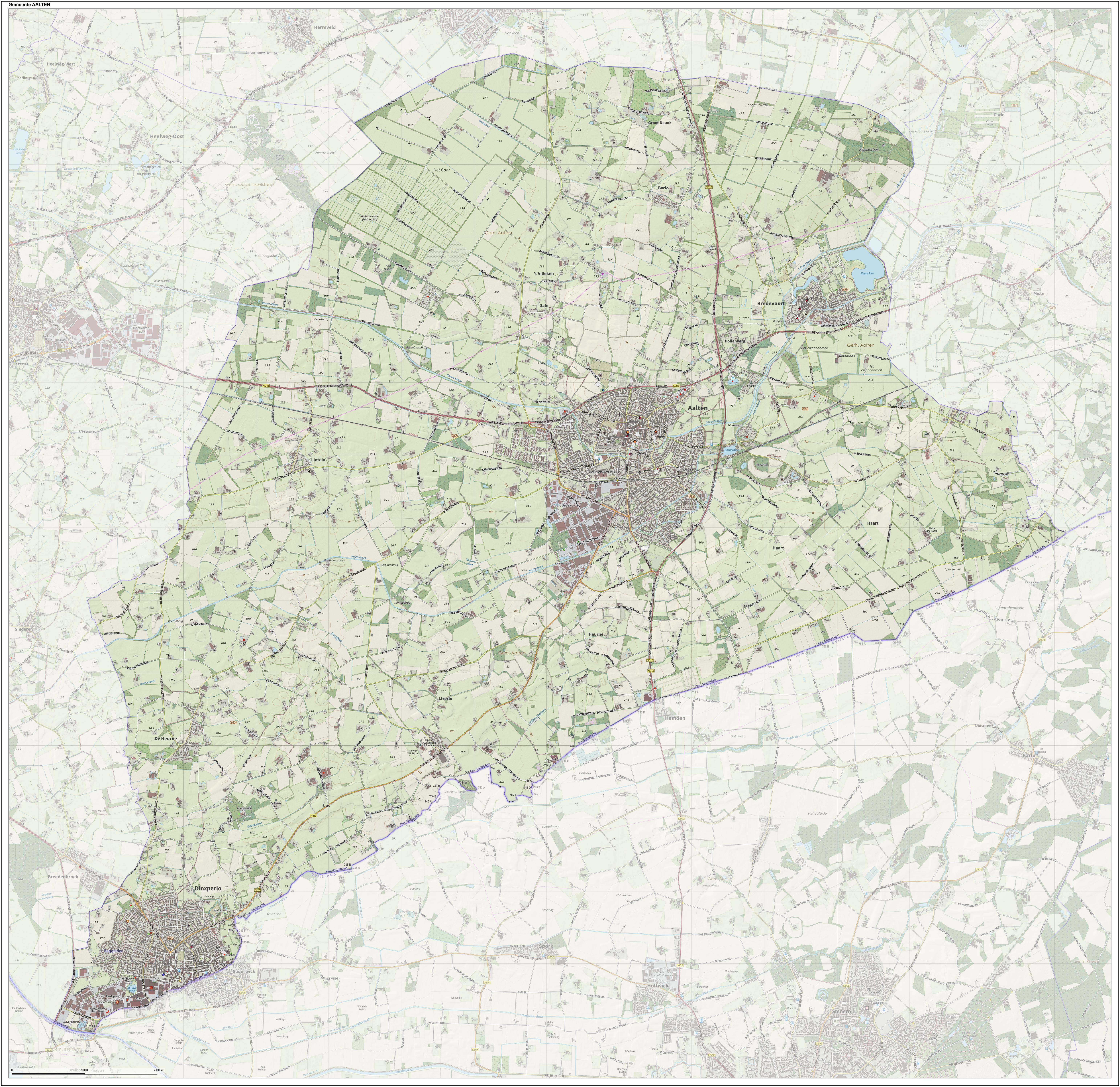
Population centres
- Aalten
- Barlo
- Bredevoort
- Dale
- De Heurne
- Dinxperlo
- Haart
- Heurne
- Hollenberg
- IJzerlo
- 't Klooster
- Lintelo
Transportation
Aalten railway station serves Aalten and the surrounding area. There is a half-hourly service between Arnhem and Winterswijk, which stops at this station. Arnhem railway station has services to Amsterdam, Amsterdam Airport, Utrecht, Nijmegen, 's-Hertogenbosch, Breda, Tilburg and to cities in Germany.
Aalten also has an hourly bus service to Ruurlo and to Zelhem.
Notable people
- Hendrickje Stoffels (1626 in Bredevoort – 1663) the longtime partner of Rembrandt
- J.T. Wamelink (1827 in Aalten – 1900) a prominent musician and composer in Cleveland, Ohio
- Vinus van Baalen (1942 in Dinxperlo – 2012) a Dutch swimmer, competed at the 1964 Summer Olympics
- Nout Wellink (born 1943 in Bredevoort) a Dutch economist and former central banker
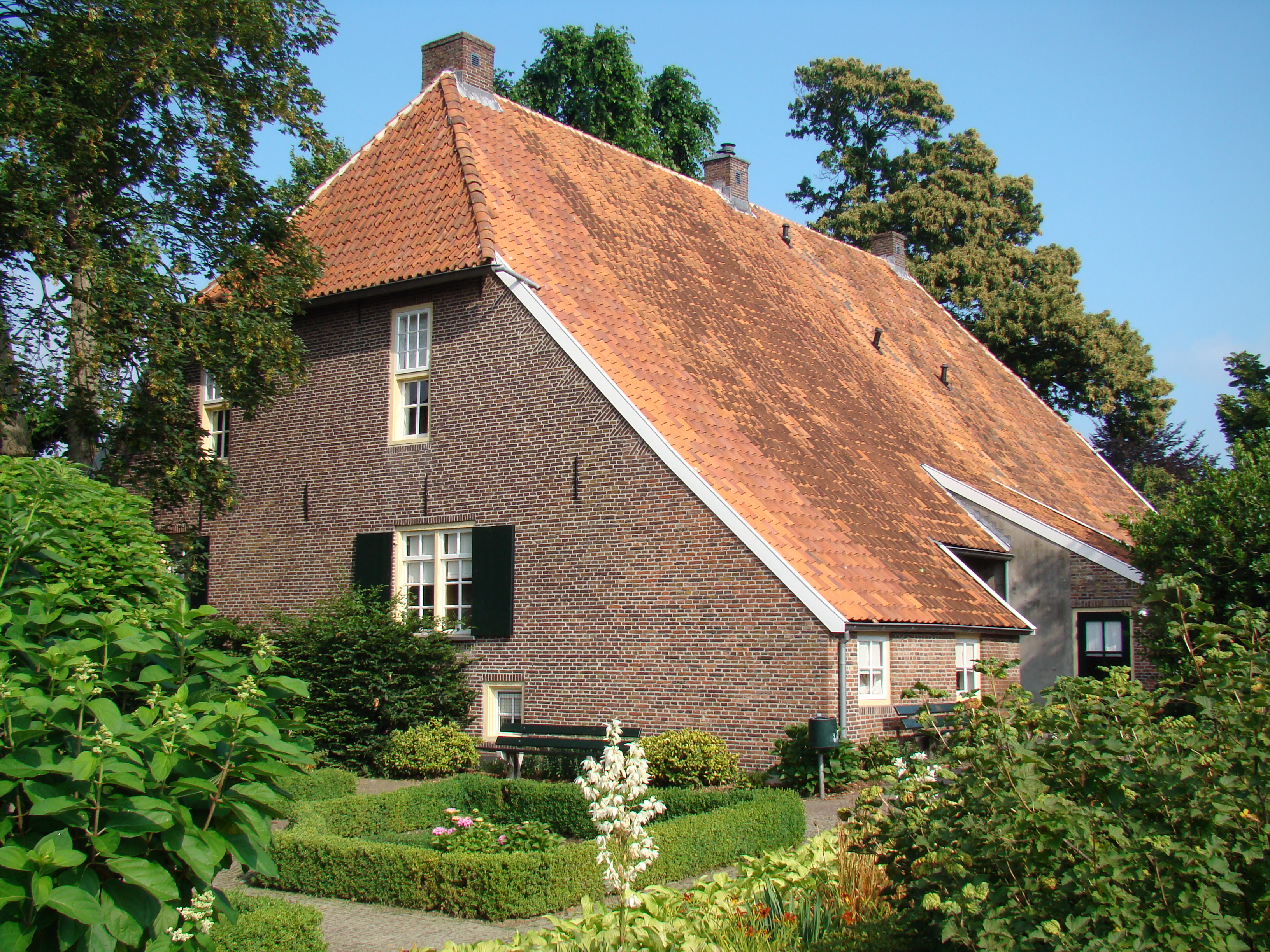
Gallery


References
- "Samenstelling college burgemeester en wethouders" [Mayor and Municipal Executive] (in Dutch). Gemeente Aalten. Retrieved 21 November 2017.
- "Kerncijfers wijken en buurten 2020" [Key figures for neighbourhoods 2020]. StatLine (in Dutch). CBS. 24 July 2020. Retrieved 19 September 2020.
- "Postcodetool for 7121CS". Actueel Hoogtebestand Nederland (in Dutch). Het Waterschapshuis. Archived from the original on 21 September 2013. Retrieved 18 June 2014.
- "Omgeving". 't Zondagsschoolhuusken.
- "Bevolkingsontwikkeling; regio per maand" [Population growth; regions per month]. CBS Statline (in Dutch). CBS. 1 January 2019. Retrieved 1 January 2019.
- Martin Gilbert, 'The Holocaust' (1986), page 376,
- http://www.marline.nl/verzet.html Archived 2014-02-19 at the Wayback Machine 'Marline: de infozine v/d Achterhoek'
External links
 Media related to Aalten at Wikimedia Commons
- Official website
Places adjacent to Aalten | ||||||||||||||||
|---|---|---|---|---|---|---|---|---|---|---|---|---|---|---|---|---|
| ||||||||||||||||
Municipalities of Gelderland | ||
|---|---|---|
|  | |
| ||
This Gelderland location article is a stub. You can help Wikipedia by expanding it. |
На других языках
[de] Aalten
Aalten ( anhören?/i) ist eine im Osten der Niederlande gelegene Gemeinde. Sie befindet sich im Achterhoek in der Provinz Gelderland unmittelbar an der Grenze zum deutschen Bundesland Nordrhein-Westfalen. Aalten lebt vor allem von der Landwirtschaft, dem Kleingewerbe und dem Tourismus. Es hat einen Bahnhof an der Bahnstrecke Winterswijk–Zevenaar–Arnheim, betrieben von Arriva. Von den früher hier befindlichen drei Burgen ist nur das Walfort erhalten.- [en] Aalten
[ru] Алтен
Алтен (нидерл. Aalten) — община в Нидерландах в провинции Гелдерланд. Административный центр — Алтен. Община Алтен расположена непосредственно на границе с Германией.Другой контент может иметь иную лицензию. Перед использованием материалов сайта WikiSort.org внимательно изучите правила лицензирования конкретных элементов наполнения сайта.
WikiSort.org - проект по пересортировке и дополнению контента Википедии