world.wikisort.org - Mexico
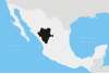
Mapimí is one of the 39 municipalities of Durango, in north-western Mexico. The municipal seat lies at Mapimí. The municipality covers an area of 7,126.7 km².
Mapimí | |
|---|---|
Municipality | |
 Municipality of Mapimí in Durango | |
Mapimí Location in Mexico | |
| Coordinates: 26°14′6″N 104°29′14″W | |
| Country | |
| State | Durango |
| Municipal seat | Mapimí |
| Area | |
| • Total | 7,126.7 km2 (2,751.6 sq mi) |
| Population (2010) | |
| • Total | 25,137 |
| • Density | 3.5/km2 (9.1/sq mi) |
| Website | www.mapimi.gob.mx |
In 2010, the municipality had a total population of 25,137,[1] up from 22,940 in 2005.[2]
In 2010, the town of Mapimí had a population of 5,623.[1] Other than the town of Mapimí, the municipality had 283 localities, the largest of which (with 2010 populations in parentheses) were: Bermejillo (9,149) and Ceballos (3,730), classified as urban.[1]
Located in the northeastern portion of the state, it borders the municipalities of Lerdo, Gómez Palacio, Tlahualilo, Villa Hidalgo, San Pedro del Gallo, San Luis del Cordero and Nazas.
See also
- Mapimí Silent Zone, an alleged area of radio silence located in the region.
References
- "Mapimí". Catálogo de Localidades. Secretaría de Desarrollo Social (SEDESOL). Retrieved 23 April 2014.
- "Mapimí". Enciclopedia de los Municipios de México. Instituto Nacional para el Federalismo y el Desarrollo Municipal. Archived from the original on September 27, 2007. Retrieved November 10, 2008.
See also
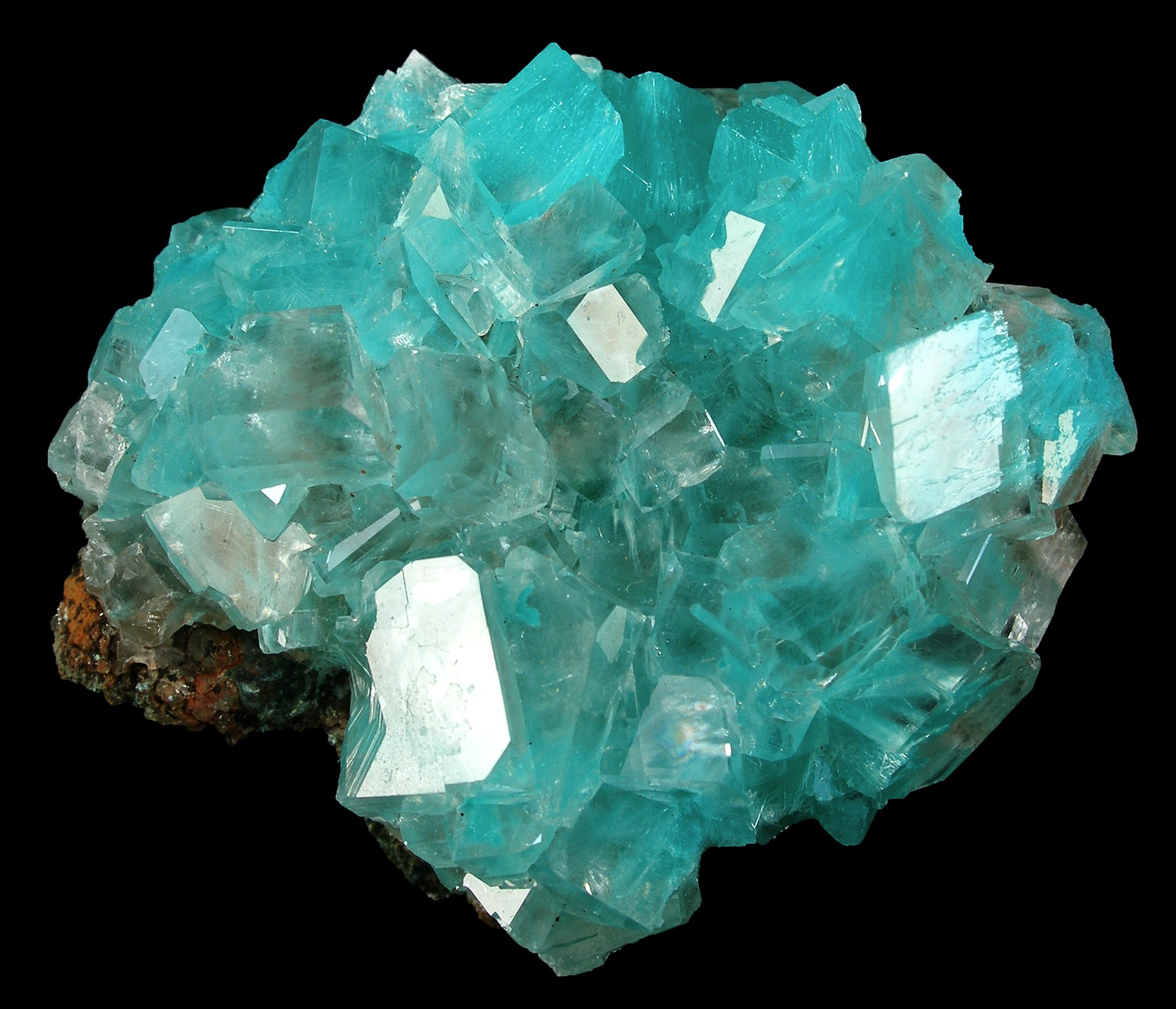
- Ojuela Mine
This article about a location in the Mexican state of Durango is a stub. You can help Wikipedia by expanding it. |
На других языках
- [en] Mapimí Municipality
[es] Municipio de Mapimí
El Municipio de Mapimí es uno de los 39 municipios del estado mexicano de Durango, se localiza al noreste del estado en la zona que recibe el nombre del Bolsón de Mapimí, nombre dado por la cabecera municipal, la ciudad de Mapimí.Другой контент может иметь иную лицензию. Перед использованием материалов сайта WikiSort.org внимательно изучите правила лицензирования конкретных элементов наполнения сайта.
WikiSort.org - проект по пересортировке и дополнению контента Википедии