world.wikisort.org - Mexico
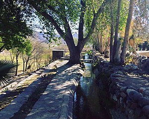
Manuel Benavides is one of the 67 municipalities of Chihuahua, in northern Mexico. The municipal seat lies at Manuel Benavides village. The municipality covers an area of 3,191.5 km².
Manuel Benavides | |
|---|---|
Municipality | |
 | |
 Municipality of Manuel Benavides in Chihuahua | |
 Manuel Benavides Location in Mexico | |
| Coordinates: 29°06′26″N 103°54′23″W | |
| Country | |
| State | Chihuahua |
| Municipal seat | Manuel Benavides |
| Area | |
| • Total | 3,191.5 km2 (1,232.2 sq mi) |
| Population (2010) | |
| • Total | 1,601 |
| • Density | 0.50/km2 (1.3/sq mi) |
As of the 2010 census, the municipality had a total population of 1,601 .[1][2]
The municipality had 183 localities, none of which had a population over 1,000.[2]
Geography
Towns and villages
The municipality has 115 localities. The largest are:
| Name | 2010 Census Population | |
|---|---|---|
| Manuel Benavides | 916 | |
| Álamos de San Antonio | 131 | |
| Paso de San Antonio (La Hacienda) | 81 | |
| Nuevo Lajitas | 65 | |
| Escobillas de Abajo | 46 | |
| Total Municipality | 1,601 |
Adjacent municipalities and counties
- Ocampo Municipality, Coahuila - east
- Camargo Municipality - south
- Ojinaga Municipality - west
- Presidio County, Texas - north
- Brewster County, Texas - northeast
References
- 2010 census tables: INEGI Archived 2013-05-02 at the Wayback Machine accessdate=April 29, 2011
- "Manuel Benavides". Catálogo de Localidades. Secretaría de Desarrollo Social (SEDESOL). Retrieved 23 April 2014.
На других языках
- [en] Manuel Benavides Municipality
[ru] Мануэль-Бенавидес (муниципалитет)
Мануэль-Бенавидес (исп. Manuel Benavides) — муниципалитет в Мексике, штат Чиуауа с административным центром в одноимённом посёлке. Численность населения, по данным переписи 2010 года, составила 1601 человек.Текст в блоке "Читать" взят с сайта "Википедия" и доступен по лицензии Creative Commons Attribution-ShareAlike; в отдельных случаях могут действовать дополнительные условия.
Другой контент может иметь иную лицензию. Перед использованием материалов сайта WikiSort.org внимательно изучите правила лицензирования конкретных элементов наполнения сайта.
Другой контент может иметь иную лицензию. Перед использованием материалов сайта WikiSort.org внимательно изучите правила лицензирования конкретных элементов наполнения сайта.
2019-2025
WikiSort.org - проект по пересортировке и дополнению контента Википедии
WikiSort.org - проект по пересортировке и дополнению контента Википедии
