world.wikisort.org - France
Montfort-l'Amaury (French pronunciation: [mɔ̃fɔʁ lamoʁi]) is a commune in the Yvelines department in the Île-de-France region, north central France. It is located 20 km (12 mi) north of Rambouillet. The name comes from Amaury I de Montfort, the first seigneur (lord) of Montfort.
This article needs additional citations for verification. (April 2013) |
Montfort-l'Amaury | |
|---|---|
Commune | |
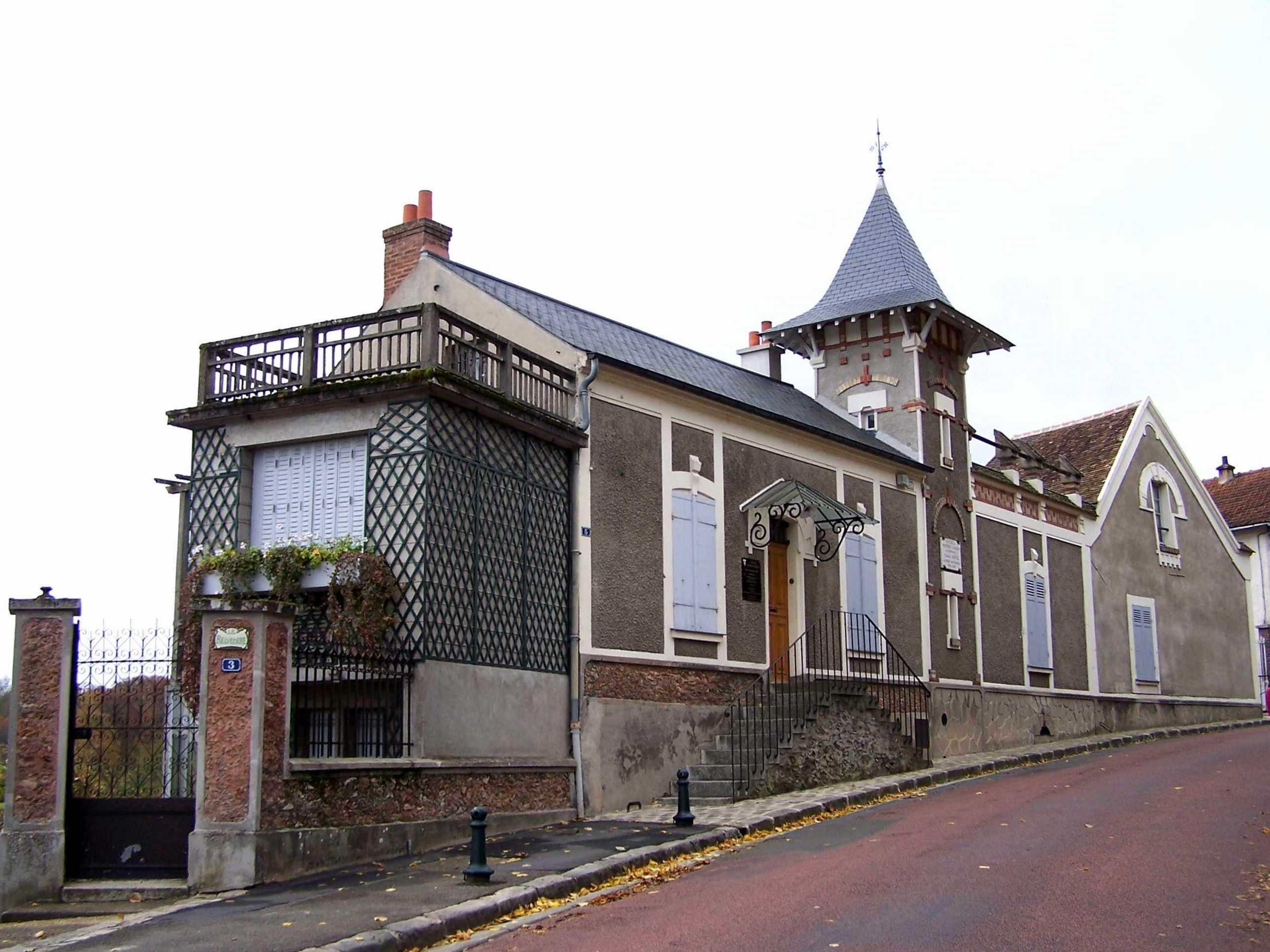
 Town hall | |
 Coat of arms | |
Location of Montfort-l'Amaury  | |
 Montfort-l'Amaury  Montfort-l'Amaury | |
| Coordinates: 48°46′40″N 1°48′36″E | |
| Country | France |
| Region | Île-de-France |
| Department | Yvelines |
| Arrondissement | Rambouillet |
| Canton | Aubergenville |
| Government | |
| • Mayor (2020–2026) | Hervé Planchenault[1] |
| Area 1 | 5.71 km2 (2.20 sq mi) |
| Population | 2,935 |
| • Density | 510/km2 (1,300/sq mi) |
| Time zone | UTC+01:00 (CET) |
| • Summer (DST) | UTC+02:00 (CEST) |
| INSEE/Postal code | 78420 /78490 |
| Elevation | 98–183 m (322–600 ft) |
| 1 French Land Register data, which excludes lakes, ponds, glaciers > 1 km2 (0.386 sq mi or 247 acres) and river estuaries. | |
Geography
Montfort-l'Amaury lies north of the Rambouillet Forest. It is located at the foot of low hills, at about 130 m above sea level.
History
King Robert II built a castle in 996 in the hills of Montfort. Montfort-l'Amaury was the stronghold of the Montfort family from the start of the 11th century. Amaury I built the ramparts.
The Comté de Montfort was related to the Duchy of Brittany following the marriage of Yolande de Dreux-Montfort with Arthur of Brittany in 1294. It returned to the crown of France when Brittany became a part of France under Francis I. The castle was destroyed by the English during the Hundred Years' War.
Sites of interest

- Ruins of the castle 48°46′36″N 1°48′16″E
- Maison de Maurice Ravel, which is now a museum . Maurice Ravel lived here from 1921 until his death.
- Château de Groussay, built in the 19th century
People
- Jean Anouilh, dramatist
- Colette Darfeuil, actress
- Henri George Doll, scientist
- Jean Monnet, architect of European Unity
- Simon de Montfort, 6th Earl of Leicester (born in the castle, 1208)
- Maurice Ravel, composer
- Charles Aznavour, singer
- Ambroise Roux (1921-1999), CEO of Compagnie générale d'électricité (later known as Alcatel) from 1970 to 1981, lived and died in Montfort-l'Amaury.[3]
- Omar Sy, actor
Twin towns
- Nickenich, Germany
See also
References
- "Répertoire national des élus: les maires" (in French). data.gouv.fr, Plateforme ouverte des données publiques françaises. 4 May 2022.
- "Populations légales 2019". The National Institute of Statistics and Economic Studies. 29 December 2021.
- "Obituary: Ambroise Roux". The Independent. 9 April 1999. Retrieved 16 April 2017.
External links
- Official website
- Pictures of Castle Montfort l'Amaury
- Photos by Amaury Laporte, free to use for non commercial purposes
- Information about Montfort l'Amaury
Authority control | |
|---|---|
| General |
|
| National libraries | |
| Other |
|
На других языках
[de] Montfort-l’Amaury
Vorlage:Infobox Gemeinde in Frankreich/Wartung/abweichendes Wappen in Wikidata- [en] Montfort-l'Amaury
[ru] Монфор-л’Амори
Монфор-л’Амори (фр. Montfort-l’Amaury) — коммуна во Франции в департаменте Ивелин региона Иль-де-Франс. Входит в состав кантона Монфор-л’Амори. Округ коммуны — Рамбуйе.Другой контент может иметь иную лицензию. Перед использованием материалов сайта WikiSort.org внимательно изучите правила лицензирования конкретных элементов наполнения сайта.
WikiSort.org - проект по пересортировке и дополнению контента Википедии