world.wikisort.org - France
Jambville (French pronunciation: [ʒɑ̃bvil]) is a commune in the Yvelines department in the Île-de-France region in north-central France. It is 50 kilometres to the north west of Paris in the heart of the Vexin national park. Château de Jambville is the Centre national de formation des Scouts et Guides de France (National Training Centre for Scouts and Guides of France).[3] The chateau dates from the 16th to the 19th Century.[4]
Jambville | |
|---|---|
Commune | |
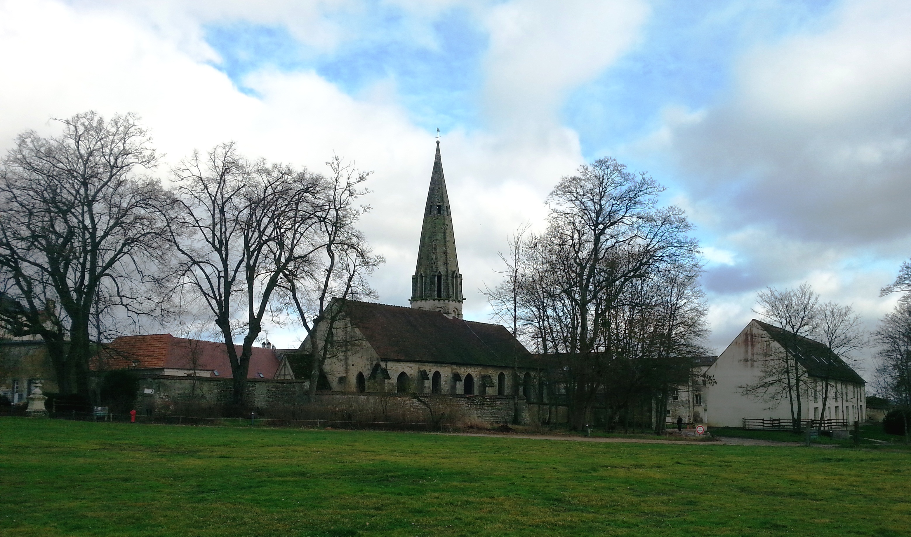 A view of the church from the Chateau park, in Jambville | |
Location of Jambville  | |
 Jambville  Jambville | |
| Coordinates: 49°02′49″N 1°51′14″E | |
| Country | France |
| Region | Île-de-France |
| Department | Yvelines |
| Arrondissement | Mantes-la-Jolie |
| Canton | Limay |
| Intercommunality | CU Grand Paris Seine et Oise |
| Government | |
| • Mayor (2020–2026) | Jean-Marie Ripart[1] |
| Area 1 | 4.81 km2 (1.86 sq mi) |
| Population | 796 |
| • Density | 170/km2 (430/sq mi) |
| Time zone | UTC+01:00 (CET) |
| • Summer (DST) | UTC+02:00 (CEST) |
| INSEE/Postal code | 78317 /78440 |
| Elevation | 43–188 m (141–617 ft) (avg. 182 m or 597 ft) |
| 1 French Land Register data, which excludes lakes, ponds, glaciers > 1 km2 (0.386 sq mi or 247 acres) and river estuaries. | |
See also
References
- "Répertoire national des élus: les maires" (in French). data.gouv.fr, Plateforme ouverte des données publiques françaises. 4 May 2022.
- "Populations légales 2019". The National Institute of Statistics and Economic Studies. 29 December 2021.
- Centre d'Activités de Jambville, Les Scouts et Guides de France
- Base Mérimée: Château de Jambville, Ministère français de la Culture. (in French)
External links
- Jambville on Scoutopedia
Wikimedia Commons has media related to Jambville.
This Yvelines geographical article is a stub. You can help Wikipedia by expanding it. |
На других языках
[de] Jambville
Jambville ist eine französische Gemeinde mit 796 Einwohnern (Stand: 1. Januar 2019) im Département Yvelines in der Region Île-de-France. Sie gehört zum Arrondissement Mantes-la-Jolie und zum Kanton Limay. Die Einwohner nennen sich Jambvillois.- [en] Jambville
Текст в блоке "Читать" взят с сайта "Википедия" и доступен по лицензии Creative Commons Attribution-ShareAlike; в отдельных случаях могут действовать дополнительные условия.
Другой контент может иметь иную лицензию. Перед использованием материалов сайта WikiSort.org внимательно изучите правила лицензирования конкретных элементов наполнения сайта.
Другой контент может иметь иную лицензию. Перед использованием материалов сайта WikiSort.org внимательно изучите правила лицензирования конкретных элементов наполнения сайта.
2019-2025
WikiSort.org - проект по пересортировке и дополнению контента Википедии
WikiSort.org - проект по пересортировке и дополнению контента Википедии