world.wikisort.org - France
Loupershouse (French pronunciation: [lupɛʁʃuz]; German: Lupershausen) is a commune in the Moselle department in Grand Est in north-eastern France.
Loupershouse | |
|---|---|
Commune | |
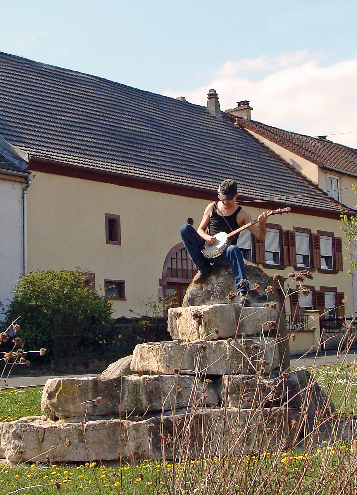 A banjo player in Ellviller | |
 Coat of arms | |
Location of Loupershouse  | |
 Loupershouse  Loupershouse | |
| Coordinates: 49°04′54″N 6°54′51″E | |
| Country | France |
| Region | Grand Est |
| Department | Moselle |
| Arrondissement | Sarreguemines |
| Canton | Sarralbe |
| Intercommunality | CA Sarreguemines Confluences |
| Government | |
| • Mayor (2020–2026) | Jean-Claude Kratz[1] |
| Area 1 | 7.73 km2 (2.98 sq mi) |
| Population | 904 |
| • Density | 120/km2 (300/sq mi) |
| Time zone | UTC+01:00 (CET) |
| • Summer (DST) | UTC+02:00 (CEST) |
| INSEE/Postal code | 57419 /57510 |
| Elevation | 225–291 m (738–955 ft) |
| 1 French Land Register data, which excludes lakes, ponds, glaciers > 1 km2 (0.386 sq mi or 247 acres) and river estuaries. | |
See also
| Wikimedia Commons has media related to Loupershouse. |
References
- "Répertoire national des élus: les maires". data.gouv.fr, Plateforme ouverte des données publiques françaises (in French). 2 December 2020.
- "Populations légales 2019". The National Institute of Statistics and Economic Studies. 29 December 2021.
Authority control | |
|---|---|
| General |
|
| National libraries | |
На других языках
[de] Loupershouse
Vorlage:Infobox Gemeinde in Frankreich/Wartung/abweichendes Wappen in Wikidata- [en] Loupershouse
Текст в блоке "Читать" взят с сайта "Википедия" и доступен по лицензии Creative Commons Attribution-ShareAlike; в отдельных случаях могут действовать дополнительные условия.
Другой контент может иметь иную лицензию. Перед использованием материалов сайта WikiSort.org внимательно изучите правила лицензирования конкретных элементов наполнения сайта.
Другой контент может иметь иную лицензию. Перед использованием материалов сайта WikiSort.org внимательно изучите правила лицензирования конкретных элементов наполнения сайта.
2019-2025
WikiSort.org - проект по пересортировке и дополнению контента Википедии
WikiSort.org - проект по пересортировке и дополнению контента Википедии