world.wikisort.org - Frankreich
| Wingles | ||
|---|---|---|

|
| |
| Staat | Frankreich | |
| Region | Hauts-de-France | |
| Département (Nr.) | Pas-de-Calais (62) | |
| Arrondissement | Lens | |
| Kanton | Wingles (Hauptort) | |
| Gemeindeverband | Lens-Liévin | |
| Koordinaten | 50° 30′ N, 2° 51′ O | |
| Höhe | 14–36 m | |
| Fläche | 5,93 km² | |
| Einwohner | 8.756 (1. Januar 2019) | |
| Bevölkerungsdichte | 1.477 Einw./km² | |
| Postleitzahl | 62410 | |
| INSEE-Code | 62895 | |
| Website | http://www.wingles.fr/ | |
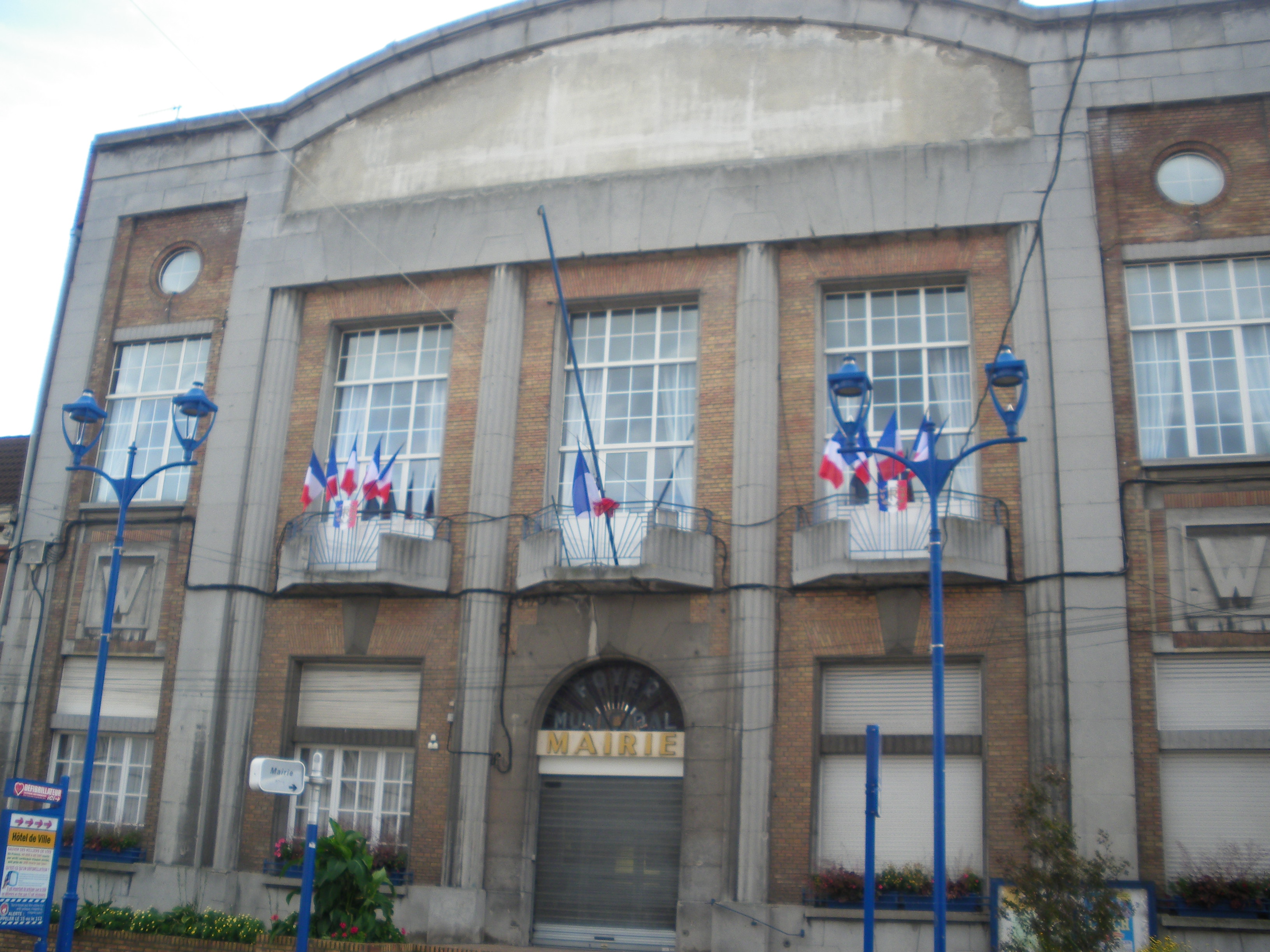 Rathaus (mairie) von Wingles | ||

Wingles (ndl.: "Westerwinkel"[1]) ist eine französische Gemeinde mit 8756 Einwohnern (Stand: 1. Januar 2019) im Département Pas-de-Calais in der Region Hauts-de-France. Sie gehört zum Arrondissement Lens und ist der Hauptort (chef-lieu) des Kantons Wingles. Die Einwohner werden Winglois genannt.
Geografie
Wingles liegt am Fluss Deûle.
Umgeben wird Wingles von den Nachbargemeinden Billy-Berclau im Norden, Bauvin im Nordosten, Meurchin im Osten, Vendin-le-Vieil im Süden, Bénifontaine im Südwesten und Douvrin im Nordwesten.
Durch die Gemeinde führt die Route nationale 47.
Bevölkerungsentwicklung
| 1962 | 1968 | 1975 | 1982 | 1990 | 1999 | 2006 | 2011 |
|---|---|---|---|---|---|---|---|
| 9.332 | 8.946 | 8.348 | 8.472 | 8.742 | 8.691 | 8.211 | 8.239 |
Sehenswürdigkeiten

- Kirche Saint-Vaast
- Mahnmal der Kriegstoten
Persönlichkeiten
- Émilienne Moreau-Evrard (1898–1971), Widerstandskämpferin
Weblinks
Commons: Wingles – Sammlung von Bildern, Videos und Audiodateien
Einzelnachweise
- De Nederlanden in Frankrijk, Jozef van Overstraeten, 1969
На других языках
- [de] Wingles
[en] Wingles
Wingles (French pronunciation: [vɛ̃ɡl]) is a commune of the Pas-de-Calais department in the Hauts-de-France region of France.[2][es] Wingles
Wingles es una población y comuna francesa, situada en la región de Norte-Paso de Calais, departamento de Paso de Calais, en el distrito de Lens. Es el chef-lieu y mayor población del cantón de Wingles.[ru] Венгль
Венгль (фр. Wingles) — коммуна во Франции, регион О-де-Франс, департамент Па-де-Кале, округ Ланс, кантон Венгль. Расположена в 7 км к северу от Ланса, в 6 км от автомагистрали А21 "Рокада Миньер", на берегу канала Дёль.Текст в блоке "Читать" взят с сайта "Википедия" и доступен по лицензии Creative Commons Attribution-ShareAlike; в отдельных случаях могут действовать дополнительные условия.
Другой контент может иметь иную лицензию. Перед использованием материалов сайта WikiSort.org внимательно изучите правила лицензирования конкретных элементов наполнения сайта.
Другой контент может иметь иную лицензию. Перед использованием материалов сайта WikiSort.org внимательно изучите правила лицензирования конкретных элементов наполнения сайта.
2019-2025
WikiSort.org - проект по пересортировке и дополнению контента Википедии
WikiSort.org - проект по пересортировке и дополнению контента Википедии