world.wikisort.org - Vietnam
Mường Chà is a rural district of Điện Biên province in the Northwest region of Vietnam. As of 2012 the district had a population of 39,456.[1] The district covers an area of 1,199.42 km². The district capital lies at Mường Chà.[1]
This article may be expanded with text translated from the corresponding article in Vietnamese. (March 2009) Click [show] for important translation instructions.
|
Mường Chà District
Huyện Mường Chà | |
|---|---|
District | |
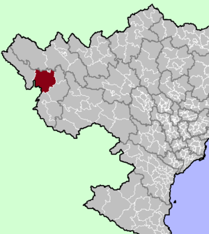 Mường Chà district location in northern Vietnam | |
| Country | |
| Region | Northwest |
| Province | Điện Biên |
| Capital | Mường Chà |
| Area | |
| • Total | 463.10 sq mi (1,199.42 km2) |
| Population (2012) | |
| • Total | 39,456 |
| • Density | 90/sq mi (33/km2) |
| Time zone | UTC+7 (Indochina Time) |
On 25 August 2012, the western portion of the district was carved out to form Nậm Pồ district.
Geography
Administrative divisions
Mường Chà has 12 administrative units, including 1 town and 11 communes:
- Mường Chà town
- Huổi Lèng
- Huổi Mí
- Hừa Ngài
- Ma Thì Hồ
- Mường Mươn
- Mường Tùng
- Na Sang
- Nậm Nèn
- Pa Ham
- Sa Lông
- Sá Tổng
References
- "Districts of Vietnam". Statoids. Retrieved 13 March 2009.
Điện Biên province | ||
|---|---|---|
Capital: Điện Biên Phủ | ||
| Điện Biên Phủ |
|  |
| Mường Lay |
| |
| Điện Biên | ||
| Điện Biên Đông |
| |
| Mường Ảng |
| |
| Mường Chà |
| |
| Mường Nhé |
| |
| Nậm Pồ | ||
| Tủa Chùa | ||
| Tuần Giáo |
| |
Districts of Northwest Vietnam | ||
|---|---|---|
| Điện Biên Province |
|  |
| Hòa Bình Province |
| |
| Lai Châu Province |
| |
| Lào Cai Province |
| |
| Sơn La Province |
| |
| Yên Bái Province |
| |
※ denotes provincial seat. | ||
This article about a location in Điện Biên province, Vietnam is a stub. You can help Wikipedia by expanding it. |
Текст в блоке "Читать" взят с сайта "Википедия" и доступен по лицензии Creative Commons Attribution-ShareAlike; в отдельных случаях могут действовать дополнительные условия.
Другой контент может иметь иную лицензию. Перед использованием материалов сайта WikiSort.org внимательно изучите правила лицензирования конкретных элементов наполнения сайта.
Другой контент может иметь иную лицензию. Перед использованием материалов сайта WikiSort.org внимательно изучите правила лицензирования конкретных элементов наполнения сайта.
2019-2026
WikiSort.org - проект по пересортировке и дополнению контента Википедии
WikiSort.org - проект по пересортировке и дополнению контента Википедии