world.wikisort.org - Etats-Unis
Strongsville est une ville située dans le comté de Cuyahoga, dans l'État de l'Ohio, aux États-Unis. Elle constitue une banlieue aisée de Cleveland.
Cet article est une ébauche concernant une localité de l’Ohio.
Vous pouvez partager vos connaissances en l’améliorant (comment ?) selon les recommandations des projets correspondants.
| Strongsville | ||||
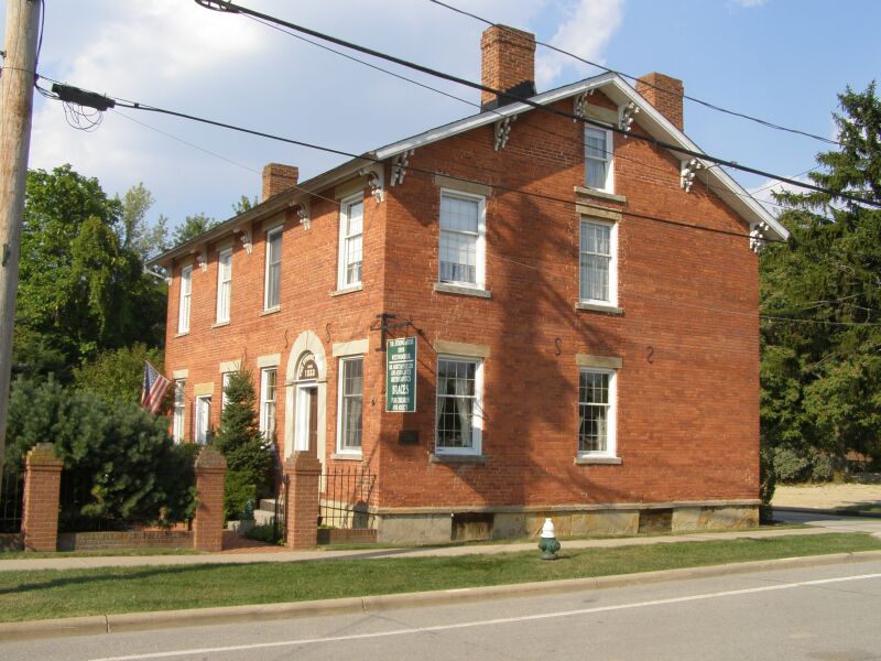 Côté nord de la place de la ville de Strongsville | ||||
| Administration | ||||
|---|---|---|---|---|
| Pays | ||||
| État | ||||
| Comté | Cuyahoga | |||
| Type de localité | City | |||
| Maire | Thomas Perciak | |||
| Code ZIP | 44136, 44149 | |||
| Code FIPS | 39-75098 | |||
| GNIS | 1065396 | |||
| Indicatif(s) téléphonique(s) local (locaux) | 440 | |||
| Démographie | ||||
| Population | 44 750 hab. (2010) | |||
| Densité | 701 hab./km2 | |||
| Géographie | ||||
| Coordonnées | 41° 18′ 46″ nord, 81° 49′ 55″ ouest | |||
| Altitude | 284 m |
|||
| Superficie | 6 385 ha = 63,85 km2 | |||
| · dont terre | 63,82 km2 (99,95 %) | |||
| · dont eau | 0,03 km2 (0,05 %) | |||
| Fuseau horaire | EST (UTC-5) | |||
| Divers | ||||
| Fondation | 1818 | |||
| Surnom | « Crossroads of the Nation » (« Au carrefour de la Nation ») |
|||
| Localisation | ||||
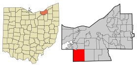 Carte du comté de Cuyahoga. | ||||
| Géolocalisation sur la carte : Ohio
Géolocalisation sur la carte : États-Unis
Géolocalisation sur la carte : États-Unis
| ||||
| Liens | ||||
| Site web | http://www.strongsville.org | |||
| modifier |
||||


Sa population était estimée à 44 750 habitants lors du recensement de 2010, ce qui donne une densité de 687,2 hab./km2.
Histoire
Strongville est devenu une municipalité en 1818, puis un village en 1923 et par après désigné comme ville en 1961.
Démographie

Galerie
Cette section est vide, insuffisamment détaillée ou incomplète. Votre aide est la bienvenue ! Comment faire ?
Situation
 |
Berea, Middleburg Heights |
| ||
| Columbia Township | N | North Royalton | ||
| O Strongsville E | ||||
| S | ||||
| Brunswick, Brunswick Hills Township |
Hinckley Township |
 Portail de l’Ohio
На других языках
[de] Strongsville
Strongsville ist eine Stadt am südwestlichen Rand des Cuyahoga County im US-Bundesstaat Ohio. Sie liegt 23,8 Kilometer südwestlich von Cleveland, am Rande des zugehörigen Vorortgürtels sowie am Kreuzungspunkt der Interstates 71 und 80. Sie ist 24,65 Quadratmeilen (63,82 km²) groß und hatte (2020) 46.491 Einwohner, davon 94,2 % Weiße. Die Stadt ist benannt nach ihrem Gründer, John Stoughton Strong.[en] Strongsville, Ohio
Strongsville is a city in Cuyahoga County, Ohio, United States, and a suburb of Cleveland. As of the 2010 census, the city population was 44,750. The city's nickname 'Crossroads of the Nation,' originated from the Baltimore and Ohio Railroad (B&O) intersecting with the Southwestern Electric Line that connected Cleveland and Wooster, Ohio.[5] As the railroad line ceased operation in 1931, the motto and city seal have been adapted to reflect the modern day intersection of Interstate 71 and the Ohio Turnpike.[6]- [fr] Strongsville (Ohio)
[ru] Стронгсвилл
Стронгсвилл (англ. Strongsville) — город в штате Огайо (США). Находится в округе Кайахога, южный пригород Кливленда. По данным переписи за 2010 год число жителей города составляло 44 750 человек.Текст в блоке "Читать" взят с сайта "Википедия" и доступен по лицензии Creative Commons Attribution-ShareAlike; в отдельных случаях могут действовать дополнительные условия.
Другой контент может иметь иную лицензию. Перед использованием материалов сайта WikiSort.org внимательно изучите правила лицензирования конкретных элементов наполнения сайта.
Другой контент может иметь иную лицензию. Перед использованием материалов сайта WikiSort.org внимательно изучите правила лицензирования конкретных элементов наполнения сайта.
2019-2025
WikiSort.org - проект по пересортировке и дополнению контента Википедии
WikiSort.org - проект по пересортировке и дополнению контента Википедии