world.wikisort.org - Etats-Unis
Pleasanton est une ville de Californie, située dans le comté d'Alameda. Lors du recensement de 2010, sa population s’élevait à 70 285 habitants.
Cet article est une ébauche concernant une localité de Californie.
Vous pouvez partager vos connaissances en l’améliorant (comment ?) selon les recommandations des projets correspondants.
Pour les articles homonymes, voir Pleasanton.
| Pleasanton | ||||
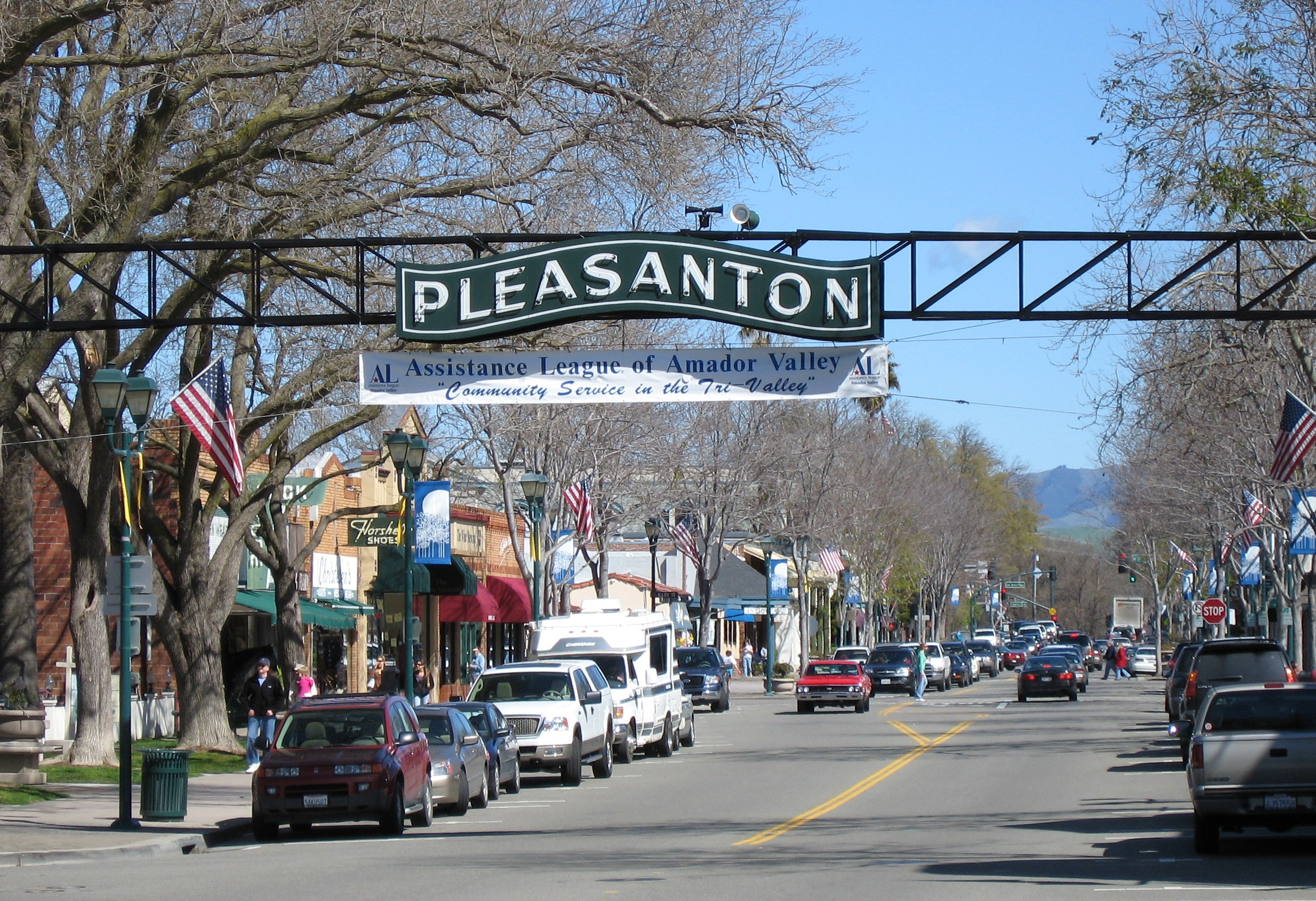 Main Street | ||||
| Administration | ||||
|---|---|---|---|---|
| Pays | ||||
| État | ||||
| Comté | Alameda | |||
| Type de localité | City | |||
| Code ZIP | 94566, 94568, 94588 | |||
| Code FIPS | 06-57792 | |||
| GNIS | 277578, 2411441 | |||
| Indicatif(s) téléphonique(s) local (locaux) | 925 | |||
| Démographie | ||||
| Population | 70 285 hab. (2010) | |||
| Densité | 1 118 hab./km2 | |||
| Géographie | ||||
| Coordonnées | 37° 40′ 21″ nord, 121° 52′ 57″ ouest | |||
| Altitude | 107 m |
|||
| Superficie | 6 285 ha = 62,85 km2 | |||
| · dont terre | 62,45 km2 (99,36 %) | |||
| · dont eau | 0,4 km2 (0,64 %) | |||
| Fuseau horaire | PST (UTC-8) | |||
| Divers | ||||
| Devise | The City of Planned Progress | |||
| Surnom | P-Town | |||
| Localisation | ||||
 Carte du comté d'Alameda. | ||||
| Géolocalisation sur la carte : États-Unis
Géolocalisation sur la carte : États-Unis
Géolocalisation sur la carte : Californie
| ||||
| Liens | ||||
| Site web | http://www.ci.pleasanton.ca.us | |||
| modifier |
||||


Histoire
Alisal
Avant l'établissement de Pleasanton durant les années 1850, il y avait un premier peuplement appelé Alisal, qui correspond aujourd'hui à une section de la commune de Pleasanton.
Pleasanton
Pleasanton a été incorporée le [1].
Géographie
Selon le bureau du recensement des États-Unis, Pleasanton a une superficie totale de 62,85 km2, dont 62,45 km2 de terre et 0,4 km2 d'eau.
La ville est située dans l'agglomération de San Francisco, à 40 km à l'est d'Oakland et 10 km à l'ouest de Livermore.
Climat
Le record de température est de 46,1 °C en 1950 et −8,3 °C en 1990.
| Mois | jan. | fév. | mars | avril | mai | juin | jui. | août | sep. | oct. | nov. | déc. | année |
|---|---|---|---|---|---|---|---|---|---|---|---|---|---|
| Température minimale moyenne (°C) | 3 | 4 | 6 | 7 | 9 | 12 | 13 | 13 | 12 | 9 | 6 | 3 | 8,1 |
| Température maximale moyenne (°C) | 14 | 17 | 18 | 22 | 25 | 29 | 32 | 32 | 30 | 26 | 18 | 14 | 23,1 |
| Précipitations (mm) | 75,9 | 70,4 | 62,7 | 24,4 | 10,9 | 2,3 | 0,8 | 2 | 6,1 | 21,3 | 47,8 | 51,8 | 376,4 |
| Diagramme climatique | |||||||||||
| J | F | M | A | M | J | J | A | S | O | N | D |
14 3 75,9 | 17 4 70,4 | 18 6 62,7 | 22 7 24,4 | 25 9 10,9 | 29 12 2,3 | 32 13 0,8 | 32 13 2 | 30 12 6,1 | 26 9 21,3 | 18 6 47,8 | 14 3 51,8 |
| Moyennes : • Temp. maxi et mini °C • Précipitation mm | |||||||||||
Démographie


Transport
Route
Pleasanton est situé au croisement de deux importantes Interstate highway : I-580 et I-680
Jumelage
 Blairgowrie and Rattray (Écosse)
 Fergus (Canada)
 Tulancingo (Mexique)
Personnalités liées à la commune
- Ellen Hodgson Brown (1945-), essayiste américaine née à Pleasanton
Notes et références
- [doc] (en) « California Cities by Incorporation Date » [archive du ], sur calafco.org, California Association of Local Agency Formation Commissions (consulté le )
- « Statistiques des États-Unis - Californie - Profils des communautés de 2010 » (consulté en )
Traduction
- (en) Cet article est partiellement ou en totalité issu de l’article de Wikipédia en anglais intitulé « Pleasanton, California » (voir la liste des auteurs).
Liens externes
- Ressource relative à la géographie :
- (en) Site officiel
 Portail de la région de la baie de San Francisco
На других языках
[de] Pleasanton (Kalifornien)
Pleasanton ist eine US-amerikanische Stadt im Alameda County im Bundesstaat Kalifornien. Der Vorort liegt im Amador Valley.[en] Pleasanton, California
Pleasanton is a city in Alameda County, California, United States. Located in the Amador Valley, it is a suburb in the East Bay region of the San Francisco Bay Area. The population was 79,871 at the 2020 census.[8] In 2005 and 2007, Pleasanton was ranked the wealthiest middle-sized city in the United States by the Census Bureau.[9][10] Pleasanton is home to the headquarters of Safeway, Workday, Ellie Mae, Roche Molecular Diagnostics, Blackhawk Network Holdings, and Veeva Systems. Other major employers include Kaiser Permanente, Oracle and Macy's.[11] Although Oakland is the Alameda County seat, a few county offices are located in Pleasanton. The Alameda County Fairgrounds are located in Pleasanton, where the county fair is held during the last week of June and the first week of July. Pleasanton Ridge Regional Park is located on the west side of town.- [fr] Pleasanton (Californie)
[ru] Плезантон (Калифорния)
Плезантон (англ. Pleasanton) — город в округе Аламида, штат Калифорния, США. Плезантон расположен около 40 км к востоку от Окленда и 9 км к западу от Ливермора. Население на июль 2007 — 66 544. Назван в честь генерала времен гражданской войны, Альфреда Плезантона.Другой контент может иметь иную лицензию. Перед использованием материалов сайта WikiSort.org внимательно изучите правила лицензирования конкретных элементов наполнения сайта.
WikiSort.org - проект по пересортировке и дополнению контента Википедии