world.wikisort.org - USA
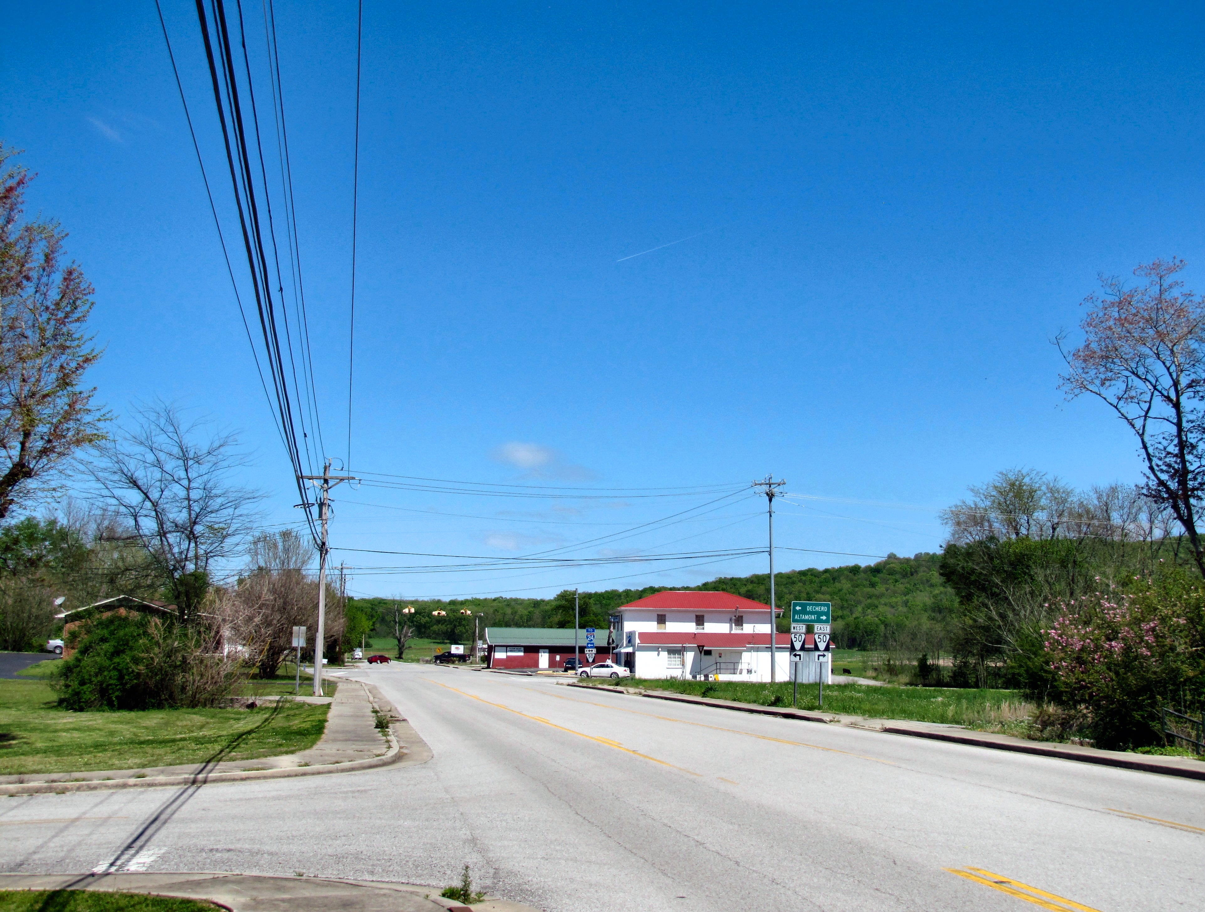
Pelham is an unincorporated community and census-designated place (CDP) in Grundy County, Tennessee, United States. As of the 2010 census, its population was 403.[4] Pelham is located at the junction of U.S. Route 41, State Route 2, and State Route 50 near the base of the Cumberland Plateau, 5.35 miles (8.61 km) north-northwest of Monteagle.[5] Pelham has a post office with ZIP code 37366, which opened on April 4, 1832.[6][7]
Pelham, Tennessee | |
|---|---|
Census-designated place | |
 | |
 Pelham  Pelham | |
| Coordinates: 35°18′36″N 85°52′51″W | |
| Country | United States |
| State | Tennessee |
| County | Grundy |
| Area | |
| • Total | 16.64 sq mi (43.10 km2) |
| • Land | 16.64 sq mi (43.10 km2) |
| • Water | 0.00 sq mi (0.00 km2) |
| Elevation | 1,024 ft (312 m) |
| Population (2020)[3] | |
| • Total | 371 |
| • Density | 22.30/sq mi (8.61/km2) |
| Time zone | UTC-6 (Central (CST)) |
| • Summer (DST) | UTC-5 (CDT) |
| ZIP code | 37366 |
| Area code | 931 |
| GNIS feature ID | 1297123[2] |
The community is believed to have been named for a family of early settlers.[8] There is a school in Pelham. It is Pelham Elementary school.
Demographics
| Historical population | |||
|---|---|---|---|
| Census | Pop. | %± | |
| 2020 | 371 | — | |
| U.S. Decennial Census[9] | |||
References
- "ArcGIS REST Services Directory". United States Census Bureau. Retrieved October 15, 2022.
- U.S. Geological Survey Geographic Names Information System: Pelham, Tennessee
- "Census Population API". United States Census Bureau. Retrieved Oct 15, 2022.
- "U.S. Census website". United States Census Bureau. Retrieved 2011-05-14.
- Grundy County, Tennessee General Highway Map (PDF) (Map). Tennessee Department of Transportation. 2005. Archived from the original (PDF) on 2003-04-13. Retrieved December 12, 2012.
- United States Postal Service (2012). "USPS - Look Up a ZIP Code". Retrieved 2012-02-15.
- "Postmaster Finder - Post Offices by ZIP Code". United States Postal Service. Retrieved December 12, 2012.
- Janelle Layne Taylor, "Pelham Valley Places," Grundy County History website. Accessed: 18 April 2016.
- "Census of Population and Housing". Census.gov. Retrieved June 4, 2016.
Municipalities and communities of Grundy County, Tennessee, United States | ||
|---|---|---|
County seat: Altamont | ||
| Cities |  | |
| Towns | ||
| CDP | ||
| Footnotes | ‡This populated place also has portions in an adjacent county or counties | |
| ||
| Authority control |
|
|---|
This Grundy County, Tennessee geography–related article is a stub. You can help Wikipedia by expanding it. |
Текст в блоке "Читать" взят с сайта "Википедия" и доступен по лицензии Creative Commons Attribution-ShareAlike; в отдельных случаях могут действовать дополнительные условия.
Другой контент может иметь иную лицензию. Перед использованием материалов сайта WikiSort.org внимательно изучите правила лицензирования конкретных элементов наполнения сайта.
Другой контент может иметь иную лицензию. Перед использованием материалов сайта WikiSort.org внимательно изучите правила лицензирования конкретных элементов наполнения сайта.
2019-2026
WikiSort.org - проект по пересортировке и дополнению контента Википедии
WikiSort.org - проект по пересортировке и дополнению контента Википедии