world.wikisort.org - USA
Miry Brook is an unincorporated area in the City of Danbury in Fairfield County, Connecticut.[1] It is located in the western part of the city, bordering Mill Plain to the north and west at Lake Kenosia and the town of Ridgefield, Connecticut to the southwest. The Danbury Airport is located in Miry Brook.
Miry Brook, Connecticut | |
|---|---|
Unincorporated | |
 Miry Brook Volunteer Fire Department in 2022 | |
 Miry Brook Location in Connecticut  Miry Brook Location in the United States | |
| Coordinates: 41°21′59.34″N 73°28′56.44″W[1] | |
| Country | United States |
| U.S. state | Connecticut |
| County | Fairfield |
| Region | Western CT |
| City | Danbury |
History
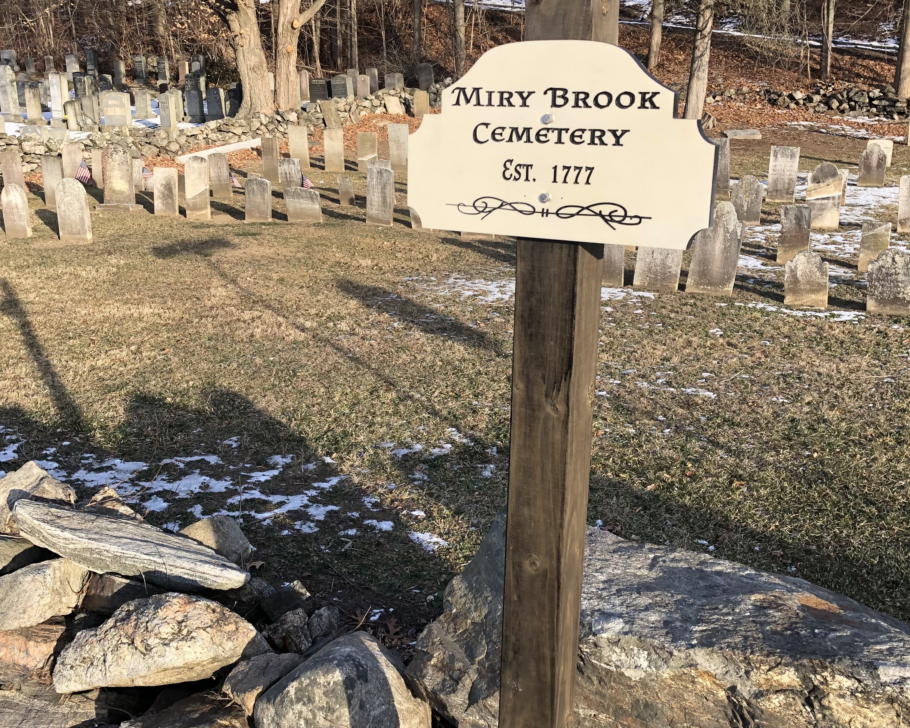
The name Miry Brook is derived from the presence of swampland or “mire,” which makes up the landscape of the area, as well as the aptly named stream or “brook” that runs through it. According to local tradition however, it was named after an incident that occurred during the 1777 British retreat from Danbury (see Battle of Ridgefield), in which the Americans destroyed the bridge at Wolf Pond Run to impede the British, causing them a delay and mired artillery. Although this story may be true, it is not what gave rise to the name of the waterway and area, as there are recorded mentions of Miry Brook from as early as 1712.[2]
Watershed
As its name suggests, Miry Brook consists of a primary waterway surrounded by swampy wetlands. The Miry Brook itself begins in Ridgefield and runs throughout Danbury[3] until it reaches the Still River and feeds into it as one of its major tributaries.[4] This connects the Miry Brook to the Housatonic River and Long Island Sound.[3]
Parks and recreation
- Danbury Dog Park
References
- "Miry Brook". Geographic Names Information System. United States Geological Survey.
- Imogene Heireth (1985). Names-Places: How Danbury Got Some Unusual Ones (PDF). Danbury: Danbury Tricentennial Committee. p. 12. Retrieved April 4, 2022.
- Sanders, Jack (August 30, 2021). "The Ridgefield Encyclopedia" (PDF). Ridgefieldlibrary.org. Ridgefield Library. Retrieved April 19, 2022.
- "Still River Watershed Management Plan" (PDF). Housatonic Valley Association. Retrieved April 19, 2022.
This Connecticut state location article is a stub. You can help Wikipedia by expanding it. |
Другой контент может иметь иную лицензию. Перед использованием материалов сайта WikiSort.org внимательно изучите правила лицензирования конкретных элементов наполнения сайта.
WikiSort.org - проект по пересортировке и дополнению контента Википедии