world.wikisort.org - USA
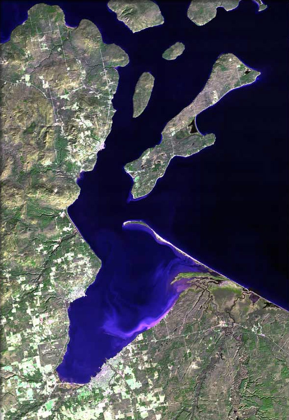
Franks Field is a census-designated place in the town of Sanborn, Ashland County, Wisconsin, United States. Its population was 154 as of the 2010 census.[1] Franks Field is located on the Bad River Indian Reservation.
Franks Field, Wisconsin | |
|---|---|
Census-designated place | |
 Franks Field | |
| Coordinates: 46°33′08″N 90°35′56″W | |
| Country | United States |
| State | Wisconsin |
| County | Ashland |
| Town | Sanborn |
| Area | |
| • Total | 1.266 sq mi (3.28 km2) |
| • Land | 1.266 sq mi (3.28 km2) |
| • Water | 0 sq mi (0 km2) |
| Elevation | 810 ft (250 m) |
| Population (2010)[1] | |
| • Total | 154 |
| • Density | 120/sq mi (47/km2) |
| Time zone | UTC-6 (Central (CST)) |
| • Summer (DST) | UTC-5 (CDT) |
| Area code(s) | 715 & 534 |
| GNIS feature ID | 2585063[2] |
References
- "U.S. Census website". U.S. Census Bureau. Retrieved 4 April 2011.
- U.S. Geological Survey Geographic Names Information System: Franks Field, Wisconsin
| Communities |
|  |
|---|---|---|
| Related Geographic Aspects |
| |
| Local Native American Tribes |
| |
Municipalities and communities of Ashland County, Wisconsin, United States | ||
|---|---|---|
County seat: Ashland | ||
| Cities |
|  |
| Village |
| |
| Towns | ||
| CDPs |
| |
| Other communities |
| |
| Indian reservation |
| |
| Footnotes | ‡This populated place also has portions in an adjacent county or counties | |
| ||
This article about a location in Ashland County, Wisconsin is a stub. You can help Wikipedia by expanding it. |
Текст в блоке "Читать" взят с сайта "Википедия" и доступен по лицензии Creative Commons Attribution-ShareAlike; в отдельных случаях могут действовать дополнительные условия.
Другой контент может иметь иную лицензию. Перед использованием материалов сайта WikiSort.org внимательно изучите правила лицензирования конкретных элементов наполнения сайта.
Другой контент может иметь иную лицензию. Перед использованием материалов сайта WikiSort.org внимательно изучите правила лицензирования конкретных элементов наполнения сайта.
2019-2026
WikiSort.org - проект по пересортировке и дополнению контента Википедии
WikiSort.org - проект по пересортировке и дополнению контента Википедии