world.wikisort.org - USA
Dumas is a city in Desha County, Arkansas, United States. The population was 4,706 at the 2010 census.[2]
Dumas, Arkansas | |
|---|---|
City | |
| City of Dumas | |
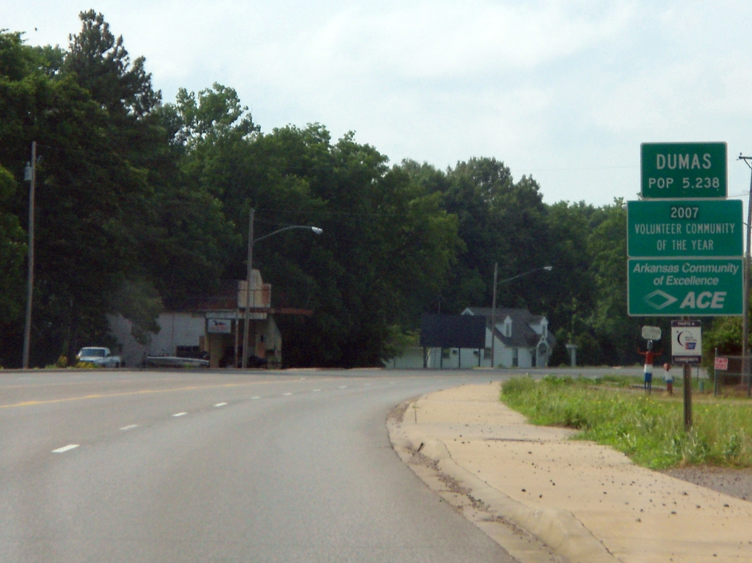 Entering Dumas from the north on U.S. 65. | |
 Location of Dumas in Desha County, Arkansas. | |
| Coordinates: 33°53′12″N 91°29′19″W | |
| Country | |
| State | |
| County | Desha |
| Townships | Randolph, Walnut Lake |
| Area | |
| • Total | 2.91 sq mi (7.53 km2) |
| • Land | 2.91 sq mi (7.53 km2) |
| • Water | 0.00 sq mi (0.00 km2) |
| Elevation | 164 ft (50 m) |
| Population (2020) | |
| • Total | 4,001 |
| • Density | 1,376.81/sq mi (531.65/km2) |
| Time zone | UTC-6 (Central (CST)) |
| • Summer (DST) | UTC-5 (CDT) |
| ZIP code(s) | 71639, 71662 |
| Area code | 870 |
| FIPS code | 05-19990 |
| GNIS feature ID | 0048697 |
| Website | dumasar |
History
In 1870, a planter, merchant and surveyor of French descent, William B. Dumas, bought acres of farmland from the Abercrombie Holmes family.[3] The area was named Watson District and the town continued to develop. Then, the District was renamed Dumas and was incorporated in 1904.[4]
Dumas proudly proclaims itself as "Home of the Ding Dong Daddy", a reference to the vaudeville song "I'm a Ding Dong Daddy from Dumas" by Phil Baxter.[5] However, this is up for debate, as the city of Dumas, Texas, also lays claim, with some documentation, to the song being about them.[6]
On February 24, 2007, Dumas was struck by a long-tracked F3 tornado. 28 people were injured, and many homes and business were damaged or destroyed. Police said on CNN that "the feed mill was the local employer and now it is gone".[7] Following the storm, U.S. Senator Mark Pryor criticized the Federal Emergency Management Agency's response to the recovery and cleanup efforts.[8]
On March 19, 2022, two gunmen killed one person and injured at least 26 others, including six children, at the Hood-Nic Festival, an annual car show held in the city. One suspect was later arrested and admitted to firing a gun at another man present at the festival.[9][10][11]
Geography
Dumas is located in northwestern Desha County at 33°53′12″N 91°29′19″W (33.886626, -91.488544).[12] According to the United States Census Bureau, the city has a total area of 3.2 square miles (8.4 km2), all land.[13] The city is located in the Delta Lowlands sub-region of the Arkansas Delta, producing a topography which is largely flat.
Climate
The climate in the area is characterized by hot, humid summers and generally mild to cool winters. According to the Köppen Climate Classification system, Dumas has a humid subtropical climate, abbreviated "Cfa" on climate maps.[14]
| Climate data for Dumas, Arkansas | |||||||||||||
|---|---|---|---|---|---|---|---|---|---|---|---|---|---|
| Month | Jan | Feb | Mar | Apr | May | Jun | Jul | Aug | Sep | Oct | Nov | Dec | Year |
| Record high °F (°C) | 90 (32) |
87 (31) |
93 (34) |
95 (35) |
101 (38) |
110 (43) |
111 (44) |
112 (44) |
109 (43) |
100 (38) |
96 (36) |
85 (29) |
112 (44) |
| Mean maximum °F (°C) | 63.5 (17.5) |
67.7 (19.8) |
76.5 (24.7) |
82.3 (27.9) |
88.7 (31.5) |
98.8 (37.1) |
101.6 (38.7) |
101.8 (38.8) |
97.3 (36.3) |
87.6 (30.9) |
77.5 (25.3) |
65.7 (18.7) |
101.8 (38.8) |
| Average high °F (°C) | 53.2 (11.8) |
57.7 (14.3) |
66.5 (19.2) |
75.5 (24.2) |
82.8 (28.2) |
89.5 (31.9) |
91.7 (33.2) |
91.3 (32.9) |
86.3 (30.2) |
76.7 (24.8) |
64.4 (18.0) |
55.5 (13.1) |
74.3 (23.5) |
| Average low °F (°C) | 35.4 (1.9) |
38.0 (3.3) |
45.1 (7.3) |
53.8 (12.1) |
62.4 (16.9) |
69.7 (20.9) |
72.0 (22.2) |
70.6 (21.4) |
64.0 (17.8) |
53.2 (11.8) |
43.5 (6.4) |
37.4 (3.0) |
53.8 (12.1) |
| Mean minimum °F (°C) | 21.1 (−6.1) |
27.3 (−2.6) |
32.9 (0.5) |
46.1 (7.8) |
54.9 (12.7) |
61.0 (16.1) |
64.5 (18.1) |
65.3 (18.5) |
56.7 (13.7) |
39.3 (4.1) |
35.0 (1.7) |
25.0 (−3.9) |
21.1 (−6.1) |
| Record low °F (°C) | −5 (−21) |
1 (−17) |
12 (−11) |
27 (−3) |
36 (2) |
45 (7) |
50 (10) |
50 (10) |
34 (1) |
25 (−4) |
12 (−11) |
−2 (−19) |
−5 (−21) |
| Average precipitation inches (mm) | 4.45 (113) |
4.65 (118) |
5.21 (132) |
5.54 (141) |
4.92 (125) |
3.31 (84) |
3.37 (86) |
2.90 (74) |
2.82 (72) |
4.43 (113) |
4.15 (105) |
5.43 (138) |
51.18 (1,301) |
| Average snowfall inches (cm) | 0.2 (0.51) |
0.3 (0.76) |
0.1 (0.25) |
0 (0) |
0 (0) |
0 (0) |
0 (0) |
0 (0) |
0 (0) |
0 (0) |
0.1 (0.25) |
0 (0) |
0.7 (1.8) |
| Source: [15] | |||||||||||||
Demographics
| Historical population | |||
|---|---|---|---|
| Census | Pop. | %± | |
| 1910 | 519 | — | |
| 1920 | 1,124 | 116.6% | |
| 1930 | 1,669 | 48.5% | |
| 1940 | 2,323 | 39.2% | |
| 1950 | 2,512 | 8.1% | |
| 1960 | 3,540 | 40.9% | |
| 1970 | 4,600 | 29.9% | |
| 1980 | 6,091 | 32.4% | |
| 1990 | 5,520 | −9.4% | |
| 2000 | 5,238 | −5.1% | |
| 2010 | 4,706 | −10.2% | |
| 2020 | 4,001 | −15.0% | |
| U.S. Decennial Census[16] 2014 Estimate[17] | |||
2020 census
| Race | Num. | Perc. |
|---|---|---|
| White | 1,013 | 25.32% |
| Black or African American | 2,511 | 62.76% |
| Native American | 6 | 0.15% |
| Asian | 22 | 0.55% |
| Other/Mixed | 116 | 2.9% |
| Hispanic or Latino | 333 | 8.32% |
As of the 2020 United States Census, there were 4,001 people, 1,739 households, and 1,207 families residing in the city.
2000 census
As of the census[19] of 2000, there were 5,238 people, 1,977 households, and 1,399 families residing in the city. The population density was 1,768.0 inhabitants per square mile (682.6/km2). There were 2,177 housing units at an average density of 734.8 per square mile (283.7/km2). The racial makeup of the city was 26.62% White, 70.02% Black or African American, 0.08% Native American, 0.50% Asian, 2.00% from other races, and 0.78% from two or more races. 3.19% of the population were Hispanic or Latino of any race.
There were 1,977 households, out of which 36.4% had children under the age of 18 living with them, 43.9% were married couples living together, 23.4% had a female householder with no husband present, and 29.2% were non-families. 27.4% of all households were made up of individuals, and 12.9% had someone living alone who was 65 years of age or older. The average household size was 2.63 and the average family size was 3.19.
In the city, the population was spread out, with 30.1% under the age of 18, 10.7% from 18 to 24, 24.9% from 25 to 44, 21.2% from 45 to 64, and 13.1% who were 65 years of age or older. The median age was 33 years. For every 100 females, there were 83.9 males. For every 100 females age 18 and over, there were 78.3 males.
The median income for a household in the city was $25,754, and the median income for a family was $32,255. Males had a median income of $28,396 versus $19,363 for females. The per capita income for the city was $12,727. About 22.6% of families and 28.8% of the population were below the poverty line, including 39.9% of those under age 18 and 23.4% of those age 65 or over.
Education
Dumas is served by the Dumas School District.
Highways
U.S. Route 65 passes through the city, leading northwest 41 miles (66 km) to Pine Bluff and south (with U.S. Route 165) 19 miles (31 km) to McGehee. US 165 leads northeast from Dumas 34 miles (55 km) to DeWitt.
Notable people
- Jim Hines (born September 10, 1946), Olympic gold medalist
- Slink Johnson Actor, producer, comedian
- Charlotte Tillar Schexnayder (December 25, 1923 - December 11, 2020), Newspaper editor and publisher, state legislator
In popular culture
In September 2011 the feature film Mud, written and directed by Jeff Nichols and starring Reese Witherspoon and Matthew McConaughey, was filmed in and around Dumas. Several townspeople served as extras in the film, with a few having acquired small speaking roles.
The Comedy Central docu-reality series Nathan For You filmed portions of its Season 4 finale, "Finding Frances," in Dumas.
See also
- Arkansas Post National Memorial
- List of cities and towns in Arkansas
- National Register of Historic Places listings in Desha County, Arkansas
References
- "2020 U.S. Gazetteer Files". United States Census Bureau. Retrieved October 29, 2021.
- "Race, Hispanic or Latino, Age, and Housing Occupancy: 2010 Census Redistricting Data (Public Law 94-171) Summary File (QT-PL), Dumas city, Arkansas". United States Census Bureau. Retrieved August 15, 2011.
- .Dumas (Desha County), Retrieved September 24, 2017, Sally Wolff, Encyclopedia of Arkansas.
- Cities & Towns - Dumas, Retrieved September 24, 2017, on "Arkansas.com".
- Griffin, Pete (May 26, 2011). "What's in a Name? Slogans Can Make or Break a City, Experts Say". Fox News. Retrieved March 19, 2014.
- Legend of the Ding Dong Daddy
- USA Today: Acting governor: Tornado acted like 'high explosives.' Retrieved February 26, 2007.
- USA Today: Ark. pols blast FEMA for tornado response
- Moritz, Rob; Medina, Eduardo; Mzezewa, Tariro; Fausset, Richard (March 20, 2022). "1 Dead and 24 Wounded in Shooting at an Arkansas Car Show". The New York Times. ISSN 0362-4331. Retrieved March 20, 2022.
- Raja Razek and Andy Rose. "One person killed and 28 wounded -- including children -- in shooting at Arkansas car show". CNN. Retrieved March 20, 2022.
- Faussett, Richard. "After Mass Shooting, a Town in Arkansas Struggles to Move Forward". New York Times. Retrieved April 4, 2022.
- "US Gazetteer files: 2010, 2000, and 1990". United States Census Bureau. February 12, 2011. Retrieved April 23, 2011.
- "Geographic Identifiers: 2010 Demographic Profile Data (G001): Dumas city, Arkansas". U.S. Census Bureau, American Factfinder. Retrieved October 13, 2015.[dead link]
- Climate Summary for Dumas, Arkansas
- "NOAA NCEI U.S. Climate Normals Quick Access". National Oceanic and Atmospheric Administration. Retrieved March 19, 2022.
- "Census of Population and Housing". Census.gov. Retrieved June 4, 2015.
- "Annual Estimates of the Resident Population for Incorporated Places: April 1, 2010 to July 1, 2014". Archived from the original on May 22, 2015. Retrieved June 4, 2015.
- "Explore Census Data". data.census.gov. Retrieved December 7, 2021.
- "U.S. Census website". United States Census Bureau. Retrieved January 31, 2008.
External links
- Official website
- Dumas Public Schools
- History of Dumas' Jewish community (from the Institute of Southern Jewish Life)
- Encyclopedia of Arkansas History & Culture entry: Dumas (Desha County)
Municipalities and communities of Desha County, Arkansas, United States | ||
|---|---|---|
County seat: Arkansas City | ||
| Cities |  | |
| Towns | ||
| CDP |
| |
| Other unincorporated communities | ||
| Ghost town |
| |
| Footnotes | ‡This populated place also has portions in an adjacent county or counties | |
| ||
Authority control | |
|---|---|
| General | |
| National libraries | |
На других языках
[de] Dumas (Arkansas)
Dumas ist eine Kleinstadt (City) im Desha County im Bundesstaat Arkansas der Vereinigten Staaten. Bei der letzten Volkszählung im Jahr 2010 hatte Dumas 4706 Einwohner.- [en] Dumas, Arkansas
[ru] Думас (Арканзас)
Думас (англ. Dumas, Arkansas) — город, расположенный в округе Деша (штат Арканзас, США) с населением в 5238 человек по статистическим данным переписи 2000 года.Другой контент может иметь иную лицензию. Перед использованием материалов сайта WikiSort.org внимательно изучите правила лицензирования конкретных элементов наполнения сайта.
WikiSort.org - проект по пересортировке и дополнению контента Википедии