world.wikisort.org - Vereinigte_Staaten
Cherryland ist eine US-amerikanische Stadt im Alameda County im US-Bundesstaat Kalifornien. Sie hat etwa 12.700 Einwohner (Stand: 2004). Die Stadt befindet sich bei den geographischen Koordinaten 37,68° Nord, 122,10° West. Das Stadtgebiet hat eine Größe von 3,0 km².
| Cherryland | |||
|---|---|---|---|
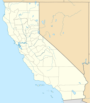
Lage in Kalifornien | |||
| Basisdaten | |||
| Staat: | Vereinigte Staaten | ||
| Bundesstaat: | Kalifornien | ||
| County: | Alameda County | ||
| Koordinaten: | 37° 41′ N, 122° 6′ W | ||
| Zeitzone: | Pacific (UTC−8/−7) | ||
| Einwohner: | 15.808 (Stand: 2020) | ||
| Haushalte: | 4.741 (Stand: 2020) | ||
| Fläche: | 3,0 km² (ca. 1 mi²) davon 3,0 km² (ca. 1 mi²) Land | ||
| Bevölkerungsdichte: | 5.269 Einwohner je km² | ||
| Höhe: | 20 m | ||
| Postleitzahl: | 94541 | ||
| Vorwahl: | +1 510 | ||
| FIPS: | 06-12902 | ||
| GNIS-ID: | 1867005 | ||
На других языках
- [de] Cherryland
[en] Cherryland, California
Cherryland is an unincorporated community and census-designated place (CDP) in Alameda County, California, United States. Cherryland is located between Ashland to the north and the city of Hayward to the south. The population was 15,808 at the 2020 census.[6]Текст в блоке "Читать" взят с сайта "Википедия" и доступен по лицензии Creative Commons Attribution-ShareAlike; в отдельных случаях могут действовать дополнительные условия.
Другой контент может иметь иную лицензию. Перед использованием материалов сайта WikiSort.org внимательно изучите правила лицензирования конкретных элементов наполнения сайта.
Другой контент может иметь иную лицензию. Перед использованием материалов сайта WikiSort.org внимательно изучите правила лицензирования конкретных элементов наполнения сайта.
2019-2025
WikiSort.org - проект по пересортировке и дополнению контента Википедии
WikiSort.org - проект по пересортировке и дополнению контента Википедии