world.wikisort.org - Regno_Unito
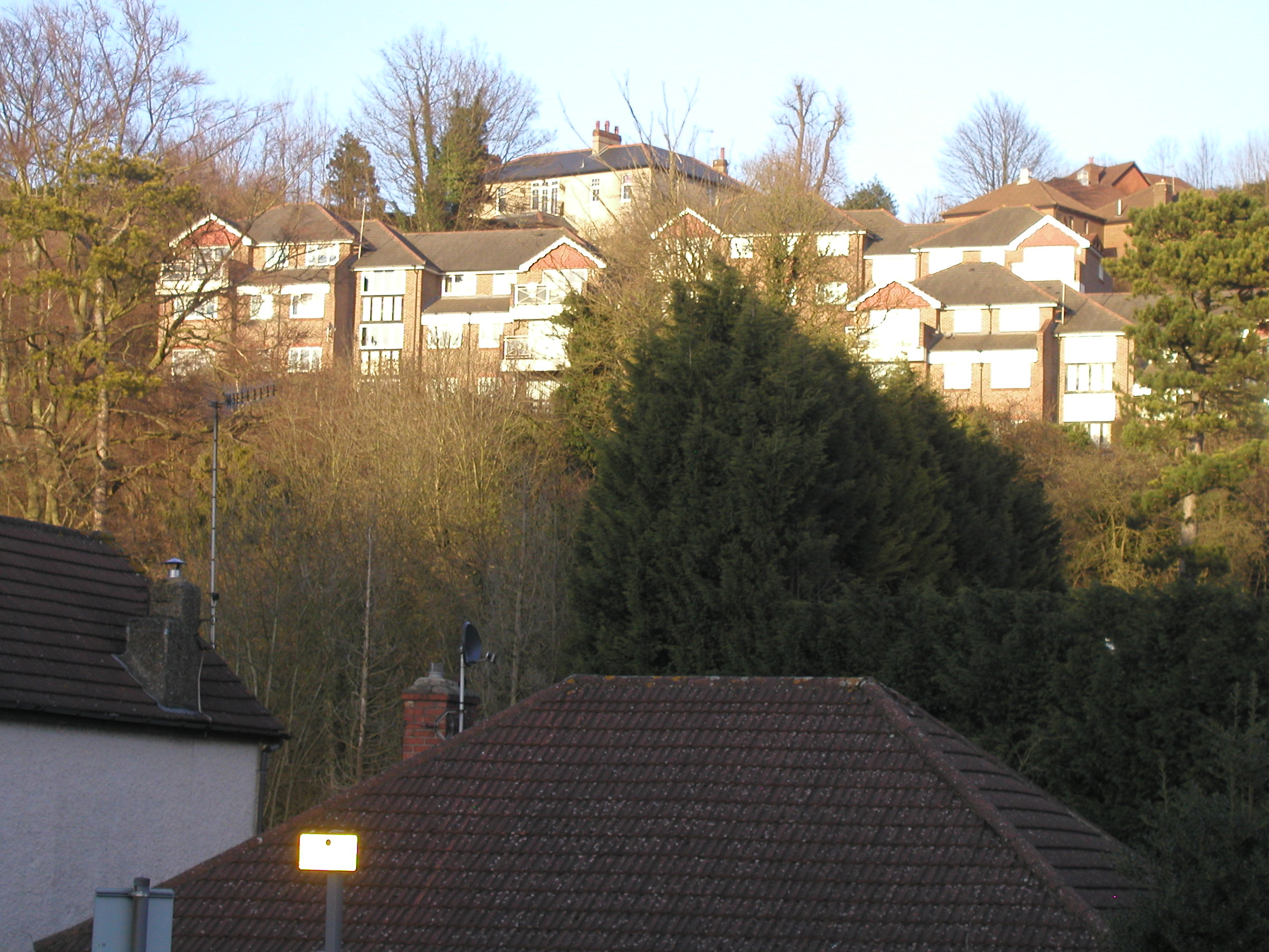
Whyteleafe è un paese di 3.315 abitanti della contea del Surrey, in Inghilterra.
| Whyteleafe parrocchia civile | |
|---|---|
 | |
| Localizzazione | |
| Stato | |
| Regione | Sud Est |
| Contea | |
| Distretto | Tandridge |
| Territorio | |
| Coordinate | 51°18′N 0°05′W |
| Superficie | 2,17 km² |
| Abitanti | 3 900 (2011) |
| Densità | 1 797,24 ab./km² |
| Altre informazioni | |
| Cod. postale | CR3 |
| Prefisso | 020, 01883 |
| Fuso orario | UTC+0 |
| Cartografia | |
 Whyteleafe | |
| Sito istituzionale | |
Altri progetti
 Wikimedia Commons contiene immagini o altri file su Whyteleafe
Collegamenti esterni
- Sito ufficiale, su whyteleafepc.org.uk.
| Controllo di autorità | VIAF (EN) 125933404 · LCCN (EN) nr88008723 |
|---|
На других языках
[en] Whyteleafe
Whyteleafe is a village in the district of Tandridge, Surrey, England, with a few streets falling inside the London Borough of Croydon. The village, in a dry valley of the North Downs, has three railway stations (on two parallel lines). Neighbouring villages and towns include Woldingham, Caterham, Coulsdon, Warlingham, and Kenley. To the west are Kenley Aerodrome, Kenley Common (owned by the Corporation), Coxes Wood, and Blize Wood. To the east are Riddlesdown, the Dobbin and Marden Park.- [it] Whyteleafe
Текст в блоке "Читать" взят с сайта "Википедия" и доступен по лицензии Creative Commons Attribution-ShareAlike; в отдельных случаях могут действовать дополнительные условия.
Другой контент может иметь иную лицензию. Перед использованием материалов сайта WikiSort.org внимательно изучите правила лицензирования конкретных элементов наполнения сайта.
Другой контент может иметь иную лицензию. Перед использованием материалов сайта WikiSort.org внимательно изучите правила лицензирования конкретных элементов наполнения сайта.
2019-2026
WikiSort.org - проект по пересортировке и дополнению контента Википедии
WikiSort.org - проект по пересортировке и дополнению контента Википедии