world.wikisort.org - Regno_Unito
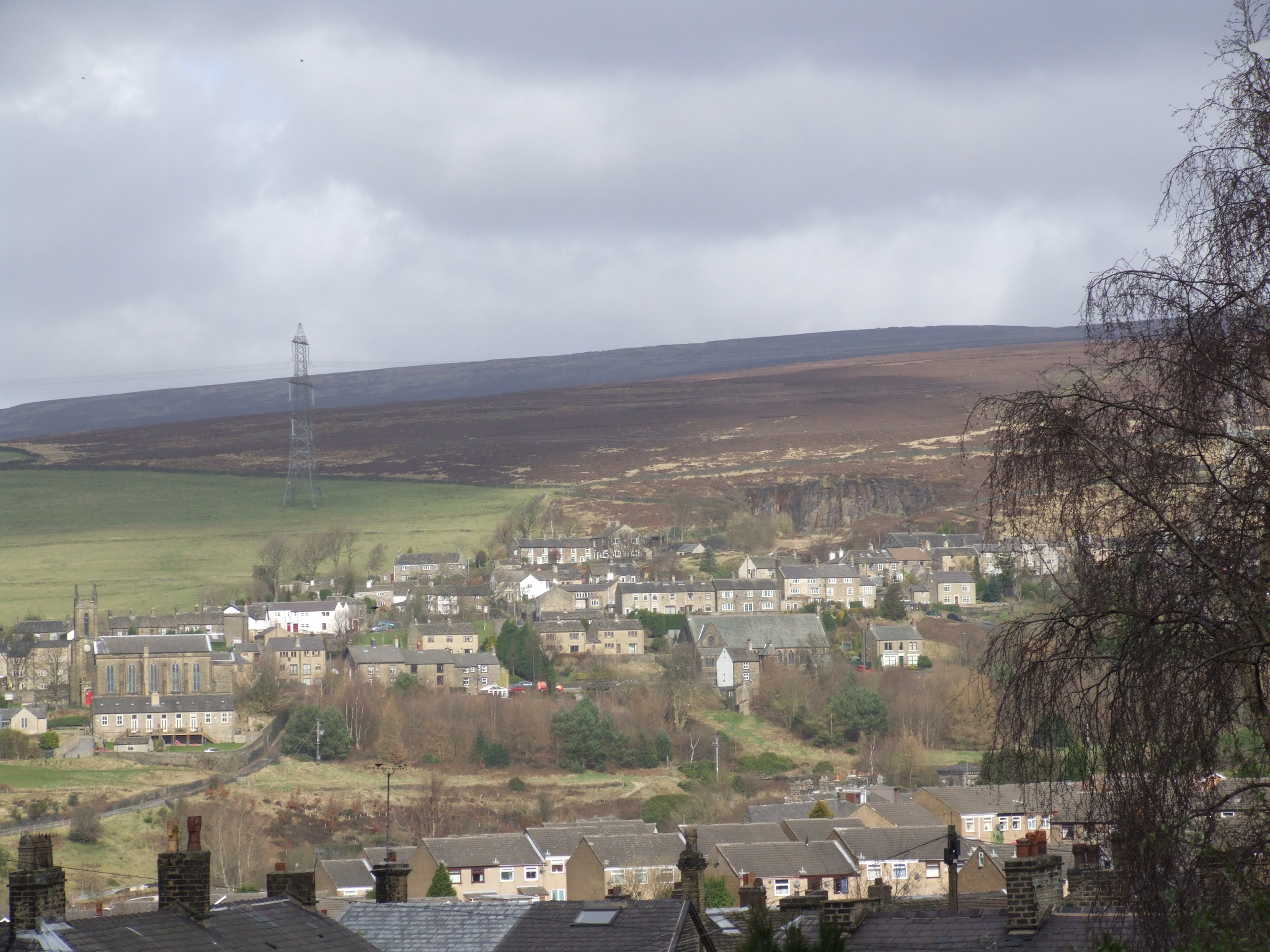
Tintwistle è un villaggio e parrocchia civile dell'Inghilterra, appartenente alla contea del Derbyshire.
| Tintwistle parrocchia civile | |
|---|---|
 | |
| Localizzazione | |
| Stato | |
| Regione | Midlands Orientali |
| Contea | |
| Distretto | High Peak |
| Territorio | |
| Coordinate | 53°28′20.28″N 1°58′20.64″W |
| Abitanti | 1 400 (2011) |
| Altre informazioni | |
| Cod. postale | SK13 |
| Fuso orario | UTC+0 |
| Cartografia | |
 Tintwistle | |
 | |
Altri progetti
 Wikimedia Commons contiene immagini o altri file su Tintwistle
На других языках
[en] Tintwistle
Tintwistle /ˈtɪnsʊl/ is a village and civil parish in the High Peak district of the non-metropolitan county of Derbyshire, England. Historically in Cheshire, according to the 2001 census the parish had a population of 1,401, reducing marginally to 1,400 and including Arnfield at the 2011 Census.[1] The village is just north of Glossop at the lower end of Longdendale Valley. Tintwistle, like nearby Crowden and Woodhead, lies within the historic county boundaries of Cheshire.- [it] Tintwistle
Текст в блоке "Читать" взят с сайта "Википедия" и доступен по лицензии Creative Commons Attribution-ShareAlike; в отдельных случаях могут действовать дополнительные условия.
Другой контент может иметь иную лицензию. Перед использованием материалов сайта WikiSort.org внимательно изучите правила лицензирования конкретных элементов наполнения сайта.
Другой контент может иметь иную лицензию. Перед использованием материалов сайта WikiSort.org внимательно изучите правила лицензирования конкретных элементов наполнения сайта.
2019-2026
WikiSort.org - проект по пересортировке и дополнению контента Википедии
WikiSort.org - проект по пересортировке и дополнению контента Википедии