world.wikisort.org - Regno_Unito
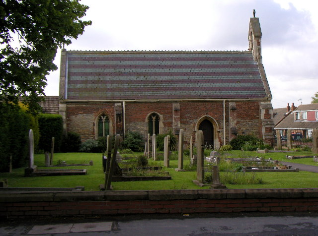
Thorngumbald è un villaggio e parrocchia civile dell'Inghilterra, appartenente alla contea di East Riding of Yorkshire.
| Thorngumbald parrocchia civile | |
|---|---|
 | |
| Localizzazione | |
| Stato | |
| Regione | Yorkshire e Humber |
| Contea | |
| Distretto | East Riding of Yorkshire |
| Territorio | |
| Coordinate | 53°43′14.88″N 0°10′17.4″W |
| Abitanti | 3 392 (2011) |
| Altre informazioni | |
| Cod. postale | HU12 |
| Prefisso | 01964 |
| Fuso orario | UTC+0 |
| Cartografia | |
 Thorngumbald | |
Altri progetti
 Wikimedia Commons contiene immagini o altri file su Thorngumbald
Collegamenti esterni
- (EN) Sito web dell'East Riding of Yorkshire, su eastriding.gov.uk.
| Controllo di autorità | VIAF (EN) 155238720 · LCCN (EN) nr2002031369 |
|---|
На других языках
[en] Thorngumbald
Thorngumbald is a village and civil parish in the East Riding of Yorkshire, England, in an area known as Holderness, 8 miles (13 km) east of Hull on the A1033. The civil parish is formed by the village and the hamlets of Camerton and Ryehill. At the 2011 census, it had a population of 3,392,[1] an increase on the 2001 UK census figure of 3,106.[2]- [it] Thorngumbald
Текст в блоке "Читать" взят с сайта "Википедия" и доступен по лицензии Creative Commons Attribution-ShareAlike; в отдельных случаях могут действовать дополнительные условия.
Другой контент может иметь иную лицензию. Перед использованием материалов сайта WikiSort.org внимательно изучите правила лицензирования конкретных элементов наполнения сайта.
Другой контент может иметь иную лицензию. Перед использованием материалов сайта WikiSort.org внимательно изучите правила лицензирования конкретных элементов наполнения сайта.
2019-2025
WikiSort.org - проект по пересортировке и дополнению контента Википедии
WikiSort.org - проект по пересортировке и дополнению контента Википедии