world.wikisort.org - Regno_Unito
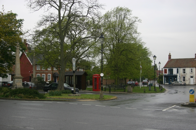
Tattershall è un villaggio e parrocchia civile dell'Inghilterra, appartenente alla contea del Lincolnshire.
| Tattershall parrocchia civile | |
|---|---|
 | |
| Localizzazione | |
| Stato | |
| Regione | Midlands Orientali |
| Contea | |
| Distretto | East Lindsey |
| Territorio | |
| Coordinate | 53°06′14.33″N 0°11′26″W |
| Superficie | 6,91 km² |
| Abitanti | 2 834 (2011) |
| Densità | 410,13 ab./km² |
| Altre informazioni | |
| Cod. postale | LN4 |
| Fuso orario | UTC+0 |
| Cartografia | |
 Tattershall | |
Altri progetti
 Wikimedia Commons contiene immagini o altri file su Tattershall
Collegamenti esterni
- (EN) Sito web istituzionale del Lincolnshire, su lincolnshire.gov.uk.
| Controllo di autorità | VIAF (EN) 153650416 · LCCN (EN) n84002135 · WorldCat Identities (EN) lccn-n84002135 |
|---|
На других языках
[en] Tattershall
Tattershall is a village and civil parish in the East Lindsey district of Lincolnshire, England. It is situated on the A153 Horncastle to Sleaford road, 1 mile (1.6 km) east from the point where that road crosses the River Witham. At its eastern end, Tattershall adjoins the village of Coningsby, with the two being separated by the River Bain and is 1 mile (1.6 km) south-east from the hamlet Tattershall Thorpe.- [it] Tattershall
Текст в блоке "Читать" взят с сайта "Википедия" и доступен по лицензии Creative Commons Attribution-ShareAlike; в отдельных случаях могут действовать дополнительные условия.
Другой контент может иметь иную лицензию. Перед использованием материалов сайта WikiSort.org внимательно изучите правила лицензирования конкретных элементов наполнения сайта.
Другой контент может иметь иную лицензию. Перед использованием материалов сайта WikiSort.org внимательно изучите правила лицензирования конкретных элементов наполнения сайта.
2019-2026
WikiSort.org - проект по пересортировке и дополнению контента Википедии
WikiSort.org - проект по пересортировке и дополнению контента Википедии