world.wikisort.org - Regno_Unito
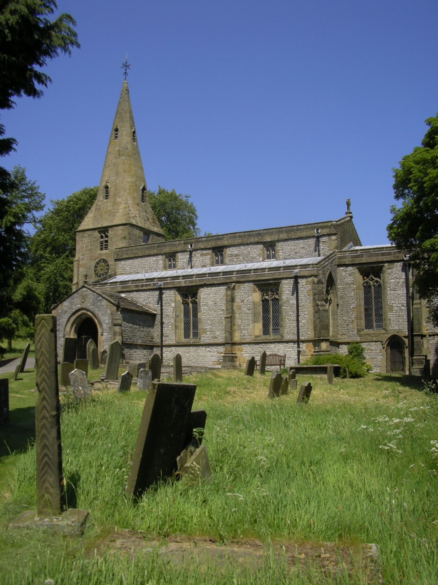
Taddington è un villaggio e parrocchia civile dell'Inghilterra, appartenente alla contea del Derbyshire.
| Taddington parrocchia civile | |
|---|---|
 | |
| Localizzazione | |
| Stato | |
| Regione | Midlands Orientali |
| Contea | |
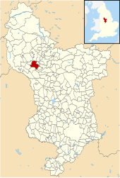
| Distretto | Derbyshire Dales |
| Territorio | |
| Coordinate | 53°14′16.08″N 1°47′34.08″W |
| Abitanti | 457 (2011) |
| Altre informazioni | |
| Cod. postale | SK17 |
| Fuso orario | UTC+0 |
| Cartografia | |
 Taddington | |
 | |
Altri progetti
 Wikimedia Commons contiene immagini o altri file su Taddington
На других языках
[en] Taddington
Taddington is a village and civil parish in Derbyshire, England. The population of the civil parish, together with neighbouring Blackwell in the Peak and Brushfield parishes, as taken at the 2011 census, was 457.[1] It lies over 1,100 feet (340 m) above sea level, on the former A6 road between Buxton and Bakewell, in the Derbyshire Dales district. To the east, the A6 runs through Taddington Dale, while Taddington Moor lies to the west.- [it] Taddington
Текст в блоке "Читать" взят с сайта "Википедия" и доступен по лицензии Creative Commons Attribution-ShareAlike; в отдельных случаях могут действовать дополнительные условия.
Другой контент может иметь иную лицензию. Перед использованием материалов сайта WikiSort.org внимательно изучите правила лицензирования конкретных элементов наполнения сайта.
Другой контент может иметь иную лицензию. Перед использованием материалов сайта WikiSort.org внимательно изучите правила лицензирования конкретных элементов наполнения сайта.
2019-2025
WikiSort.org - проект по пересортировке и дополнению контента Википедии
WikiSort.org - проект по пересортировке и дополнению контента Википедии