world.wikisort.org - Regno_Unito
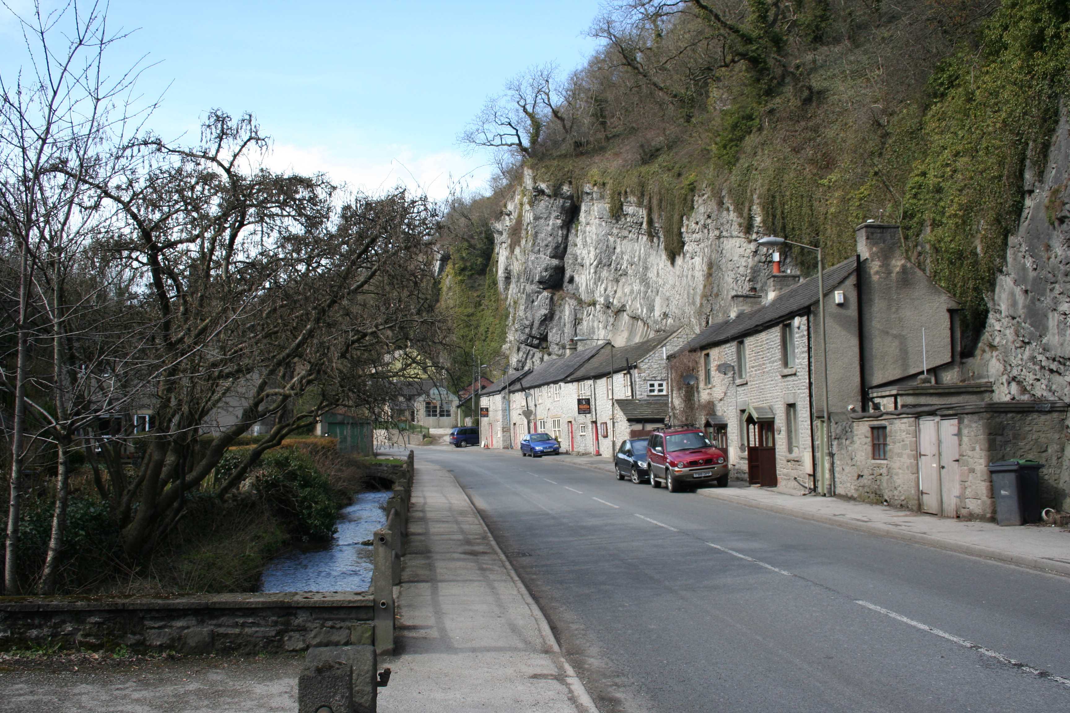
Stoney Middleton è un villaggio e parrocchia civile dell'Inghilterra, appartenente alla contea del Derbyshire.
| Stoney Middleton parrocchia civile | |
|---|---|
 | |
| Localizzazione | |
| Stato | |
| Regione | Midlands Orientali |
| Contea | |
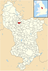
| Distretto | Derbyshire Dales |
| Territorio | |
| Coordinate | 53°16′33.6″N 1°39′21.6″W |
| Abitanti | 470 (2011) |
| Altre informazioni | |
| Cod. postale | S32 |
| Prefisso | 01433 |
| Fuso orario | UTC+0 |
| Cartografia | |
 Stoney Middleton | |
 | |
Altri progetti
 Wikimedia Commons contiene immagini o altri file su Stoney Middleton
На других языках
[en] Stoney Middleton
Stoney Middleton is a village and civil parish in the Derbyshire Dales district of Derbyshire, England. It is in the White Peak area of the Peak District southeast of Eyam and northwest of Calver, on the A623 road at the foot of the limestone valley of Middleton Dale. The population at the 2011 Census was 470.[1]- [it] Stoney Middleton
Текст в блоке "Читать" взят с сайта "Википедия" и доступен по лицензии Creative Commons Attribution-ShareAlike; в отдельных случаях могут действовать дополнительные условия.
Другой контент может иметь иную лицензию. Перед использованием материалов сайта WikiSort.org внимательно изучите правила лицензирования конкретных элементов наполнения сайта.
Другой контент может иметь иную лицензию. Перед использованием материалов сайта WikiSort.org внимательно изучите правила лицензирования конкретных элементов наполнения сайта.
2019-2025
WikiSort.org - проект по пересортировке и дополнению контента Википедии
WikiSort.org - проект по пересортировке и дополнению контента Википедии