world.wikisort.org - Regno_Unito
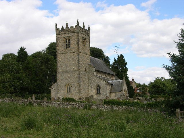
Stonegrave è un villaggio e parrocchia civile dell'Inghilterra, appartenente alla contea del North Yorkshire.
| Stonegrave parrocchia civile | |
|---|---|
 | |
| Localizzazione | |
| Stato | |
| Regione | Yorkshire e Humber |
| Contea | |
| Distretto | Ryedale |
| Territorio | |
| Coordinate | 54°11′31.2″N 0°59′38.4″W |
| Abitanti | 110 (stima 2015) |
| Altre informazioni | |
| Cod. postale | YO62 |
| Fuso orario | UTC+0 |
| Cartografia | |
 Stonegrave | |
Altri progetti
 Wikimedia Commons contiene immagini o altri file su Stonegrave
Collegamenti esterni
- (EN) Sito web istituzionale del North Yorkshire, su northyorks.gov.uk.
На других языках
[en] Stonegrave
Stonegrave is a village and civil parish in the Ryedale district of North Yorkshire, England. At the 2011 Census the population was less than 100 and so the details are included in the civil parish of Nunnington.[1] By 2015, North Yorkshire County Council estimated the population as 110.[2] It is situated in the Howardian Hills Area of Outstanding Natural Beauty (AONB) and 5 miles (8 km) south east of Helmsley[3] on the Helmsley to Malton road (the B1257).[4]- [it] Stonegrave
Текст в блоке "Читать" взят с сайта "Википедия" и доступен по лицензии Creative Commons Attribution-ShareAlike; в отдельных случаях могут действовать дополнительные условия.
Другой контент может иметь иную лицензию. Перед использованием материалов сайта WikiSort.org внимательно изучите правила лицензирования конкретных элементов наполнения сайта.
Другой контент может иметь иную лицензию. Перед использованием материалов сайта WikiSort.org внимательно изучите правила лицензирования конкретных элементов наполнения сайта.
2019-2026
WikiSort.org - проект по пересортировке и дополнению контента Википедии
WikiSort.org - проект по пересортировке и дополнению контента Википедии