world.wikisort.org - Regno_Unito
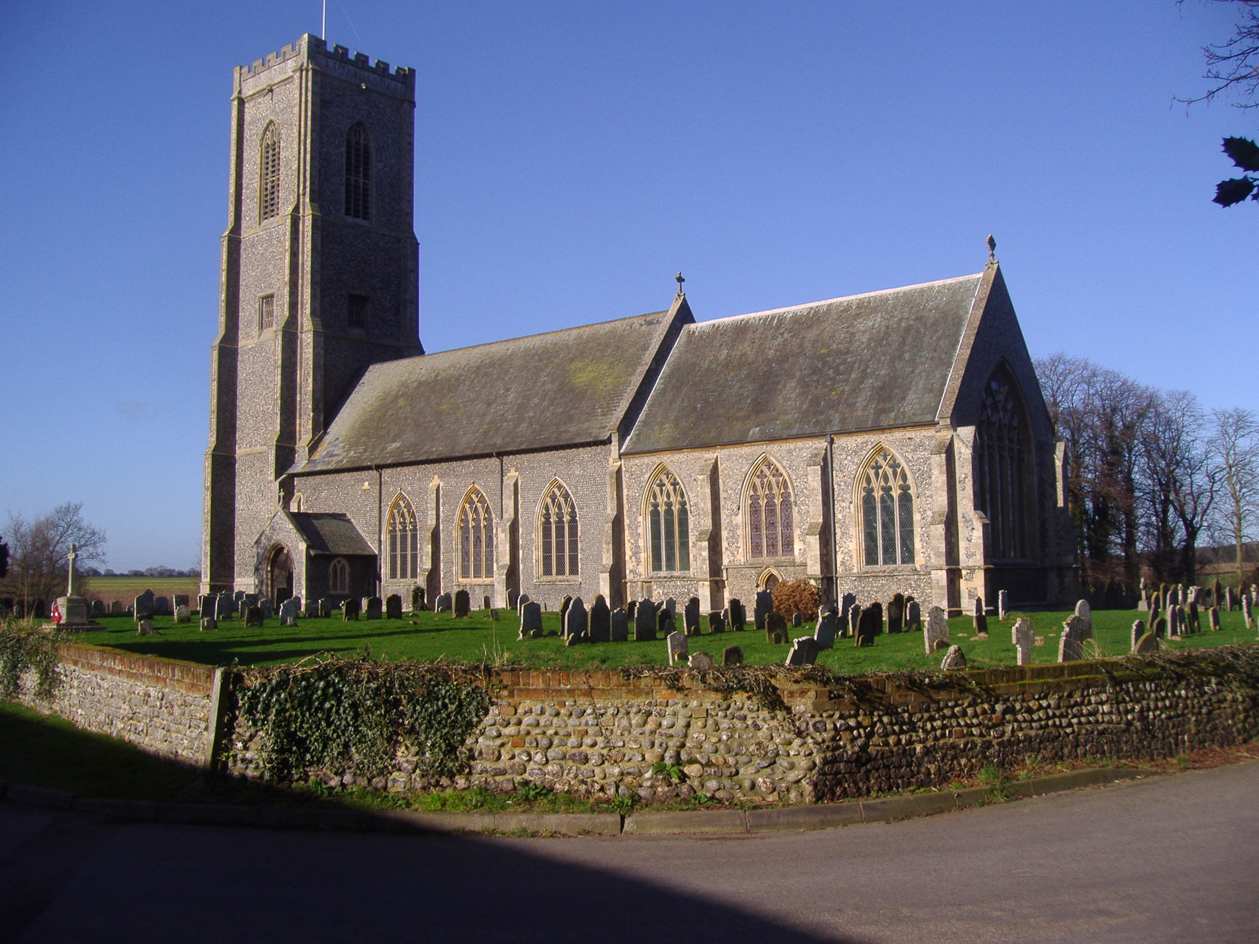
Southrepps è un villaggio e parrocchia civile dell'Inghilterra, appartenente alla contea del Norfolk.
| Southrepps parrocchia civile | |
|---|---|
 | |
| Localizzazione | |
| Stato | |
| Regione | Est |
| Contea | |
| Distretto | North Norfolk |
| Territorio | |
| Coordinate | 52°52′12″N 1°21′00″E |
| Superficie | 8,45 km² |
| Abitanti | 815 (2011) |
| Densità | 96,45 ab./km² |
| Altre informazioni | |
| Prefisso | 01263 |
| Fuso orario | UTC+0 |
| Cartografia | |
 Southrepps | |
Altri progetti
 Wikimedia Commons contiene immagini o altri file su Southrepps
Collegamenti esterni
- (EN) Sito web istituzionale del Norfolk, su norfolk.gov.uk.
На других языках
[en] Southrepps
Southrepps is a village and a civil parish in the English county of Norfolk.[2] The village is 5.2 miles (8.4 km) southeast of Cromer, 21.9 miles (35.2 km) north of Norwich and 136.0 miles (218.9 km) north of London. The village lies northeast of the A149 between Kings Lynn and Great Yarmouth. The nearest railway station is at Gunton for the Bittern Line which runs between Sheringham, Cromer and Norwich. The nearest airport is Norwich International Airport. The village is close to the sea and surrounded by rich agricultural land.- [it] Southrepps
Текст в блоке "Читать" взят с сайта "Википедия" и доступен по лицензии Creative Commons Attribution-ShareAlike; в отдельных случаях могут действовать дополнительные условия.
Другой контент может иметь иную лицензию. Перед использованием материалов сайта WikiSort.org внимательно изучите правила лицензирования конкретных элементов наполнения сайта.
Другой контент может иметь иную лицензию. Перед использованием материалов сайта WikiSort.org внимательно изучите правила лицензирования конкретных элементов наполнения сайта.
2019-2025
WikiSort.org - проект по пересортировке и дополнению контента Википедии
WikiSort.org - проект по пересортировке и дополнению контента Википедии