world.wikisort.org - Regno_Unito
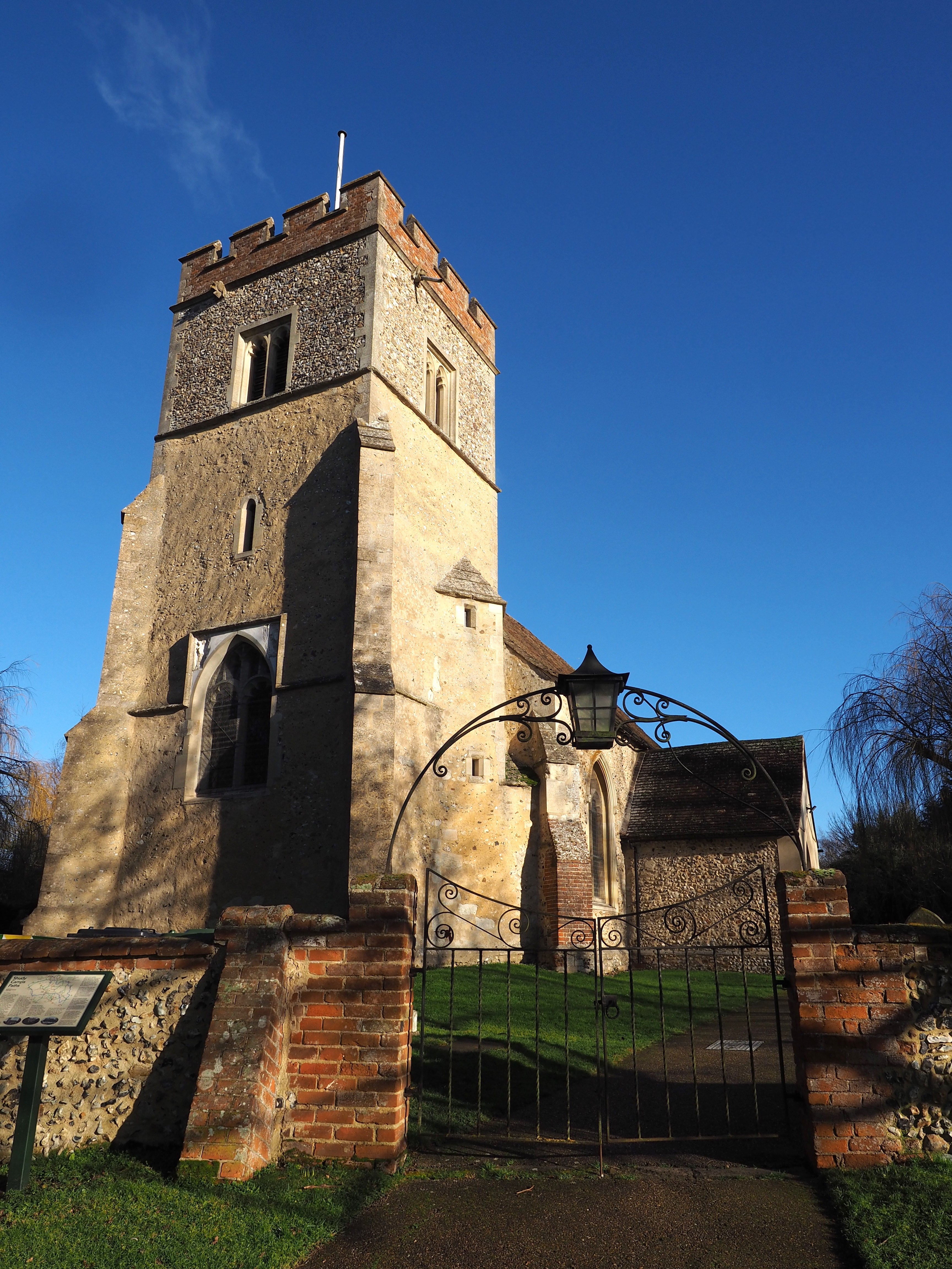
Shudy Camps è un villaggio e parrocchia civile dell'Inghilterra, appartenente alla contea del Cambridgeshire.
| Shudy Camps parrocchia civile | |
|---|---|
 | |
| Localizzazione | |
| Stato | |
| Regione | Est |
| Contea | |
| Distretto | South Cambridgeshire |
| Territorio | |
| Coordinate | 52°03′00″N 0°22′12″E |
| Abitanti | 338 (2011) |
| Altre informazioni | |
| Cod. postale | CB21 |
| Fuso orario | UTC+0 |
| Cartografia | |
 Shudy Camps | |
Altri progetti
 Wikimedia Commons contiene immagini o altri file su Shudy Camps
Collegamenti esterni
На других языках
[en] Shudy Camps
Shudy Camps is a village in the south-east corner of Cambridgeshire, England, near the border of Essex and Suffolk, and is part of the Chilford Hundred. In 2001, according to the census, the population was 310, increasing to 338 at the 2011 Census.[1] The area of the village is 951 hectares (2,350 acres). It includes the nearby hamlet of Mill Green. The highest point in the parish is 383' ASL at Mill Green.[2]- [it] Shudy Camps
Текст в блоке "Читать" взят с сайта "Википедия" и доступен по лицензии Creative Commons Attribution-ShareAlike; в отдельных случаях могут действовать дополнительные условия.
Другой контент может иметь иную лицензию. Перед использованием материалов сайта WikiSort.org внимательно изучите правила лицензирования конкретных элементов наполнения сайта.
Другой контент может иметь иную лицензию. Перед использованием материалов сайта WikiSort.org внимательно изучите правила лицензирования конкретных элементов наполнения сайта.
2019-2025
WikiSort.org - проект по пересортировке и дополнению контента Википедии
WikiSort.org - проект по пересортировке и дополнению контента Википедии