world.wikisort.org - Regno_Unito
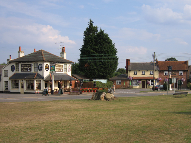
Shinfield è un villaggio e parrocchia civile dell'Inghilterra, appartenente alla contea del Berkshire.
| Shinfield parrocchia civile | |
|---|---|
 | |
| Localizzazione | |
| Stato | |
| Regione | Sud Est |
| Contea | |
| Distretto | Wokingham |
| Territorio | |
| Coordinate | 51°24′28.8″N 0°56′49.2″W |
| Abitanti | 11 277 (2011) |
| Altre informazioni | |
| Prefisso | 0118 |
| Fuso orario | UTC+0 |
| Cartografia | |
 Shinfield | |
Altri progetti
 Wikimedia Commons contiene immagini o altri file su Shinfield
На других языках
[en] Shinfield
Shinfield is a village and civil parish in the English county of Berkshire, just south of Reading. It contains 4,313 acres (17.45 km2) and is administered by the unitary authority of Wokingham District. Shinfield Park is the northern part of the parish, becoming physically separated from Reading when the M4 motorway was constructed in 1971.- [it] Shinfield
Текст в блоке "Читать" взят с сайта "Википедия" и доступен по лицензии Creative Commons Attribution-ShareAlike; в отдельных случаях могут действовать дополнительные условия.
Другой контент может иметь иную лицензию. Перед использованием материалов сайта WikiSort.org внимательно изучите правила лицензирования конкретных элементов наполнения сайта.
Другой контент может иметь иную лицензию. Перед использованием материалов сайта WikiSort.org внимательно изучите правила лицензирования конкретных элементов наполнения сайта.
2019-2025
WikiSort.org - проект по пересортировке и дополнению контента Википедии
WikiSort.org - проект по пересортировке и дополнению контента Википедии