world.wikisort.org - Regno_Unito
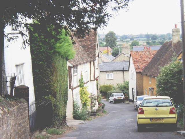
Shillington è un villaggio e parrocchia civile dell'Inghilterra, appartenente alla contea del Bedfordshire.
| Shillington parrocchia civile | |
|---|---|
 | |
| Localizzazione | |
| Stato | |
| Regione | Est |
| Contea | |
| Distretto | Mid Bedfordshire |
| Territorio | |
| Coordinate | 51°59′05.64″N 0°21′36.36″W |
| Superficie | 1,79 km² |
| Abitanti | 1 842 (2011) |
| Densità | 1 029,05 ab./km² |
| Altre informazioni | |
| Cod. postale | SG5 |
| Prefisso | 01462 |
| Fuso orario | UTC+0 |
| Cartografia | |
 Shillington | |
Altri progetti
 Wikimedia Commons contiene immagini o altri file su Shillington (Bedfordshire)
На других языках
[en] Shillington, Bedfordshire
Shillington is a village and civil parish in Bedfordshire, England. In the south of the parish the hamlet of Pegsdon includes the Pegsdon hills nature reserve and is a salient of the county into Hertfordshire. Since 1985 its administration has included the village of Higham Gobion, south-west on the minor road leading to the main north–south road in the district, the A6.[2] It has a population of 1,831 and is centred midway between stopping services railway stations on the Midland Main Line and East Coast Main Line 6 miles (9.7 km) away. Farmland and hedgerows forms 95% of the land use and to the south and north of the boundaries is intermittent woodland.- [it] Shillington (Bedfordshire)
Текст в блоке "Читать" взят с сайта "Википедия" и доступен по лицензии Creative Commons Attribution-ShareAlike; в отдельных случаях могут действовать дополнительные условия.
Другой контент может иметь иную лицензию. Перед использованием материалов сайта WikiSort.org внимательно изучите правила лицензирования конкретных элементов наполнения сайта.
Другой контент может иметь иную лицензию. Перед использованием материалов сайта WikiSort.org внимательно изучите правила лицензирования конкретных элементов наполнения сайта.
2019-2025
WikiSort.org - проект по пересортировке и дополнению контента Википедии
WikiSort.org - проект по пересортировке и дополнению контента Википедии