world.wikisort.org - Regno_Unito
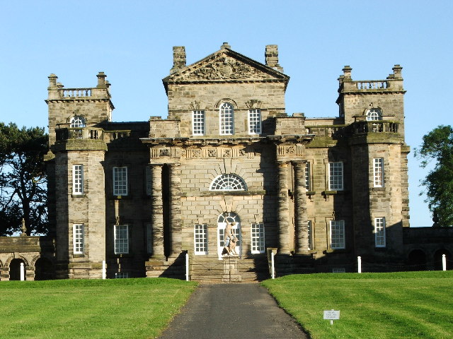
Seaton Valley è una parrocchia civile dell'Inghilterra, appartenente alla contea del Northumberland.
| Seaton Valley parrocchia civile | |
|---|---|
 | |
| Localizzazione | |
| Stato | |
| Regione | Nord Est |
| Contea | |
| Distretto | Northumberland |
| Territorio | |
| Coordinate | 55°04′55.2″N 1°35′09.6″W |
| Superficie | 28,37 km² |
| Abitanti | 15 422 (2011) |
| Densità | 543,52 ab./km² |
| Altre informazioni | |
| Cod. postale | NE23, NE25 e NE26 |
| Prefisso | 0191 |
| Fuso orario | UTC+0 |
| Cartografia | |
 Seaton Valley | |
Altri progetti
 Wikimedia Commons contiene immagini o altri file su Seaton Valley
Collegamenti esterni
- (EN) Sito web istituzionale del Northumberland, su northumberland.gov.uk.
На других языках
[en] Seaton Valley
Seaton Valley is a civil parish at the south eastern corner of Northumberland, consisting of four villages lying between Cramlington, Blyth and Whitley Bay. The largest village is Seaton Delaval, while Seaton Sluice is on the coast; the other two are Seghill and New Hartley. It takes its name from Seaton Burn, a small river which flows through the area.- [it] Seaton Valley
Текст в блоке "Читать" взят с сайта "Википедия" и доступен по лицензии Creative Commons Attribution-ShareAlike; в отдельных случаях могут действовать дополнительные условия.
Другой контент может иметь иную лицензию. Перед использованием материалов сайта WikiSort.org внимательно изучите правила лицензирования конкретных элементов наполнения сайта.
Другой контент может иметь иную лицензию. Перед использованием материалов сайта WikiSort.org внимательно изучите правила лицензирования конкретных элементов наполнения сайта.
2019-2026
WikiSort.org - проект по пересортировке и дополнению контента Википедии
WikiSort.org - проект по пересортировке и дополнению контента Википедии