world.wikisort.org - Regno_Unito
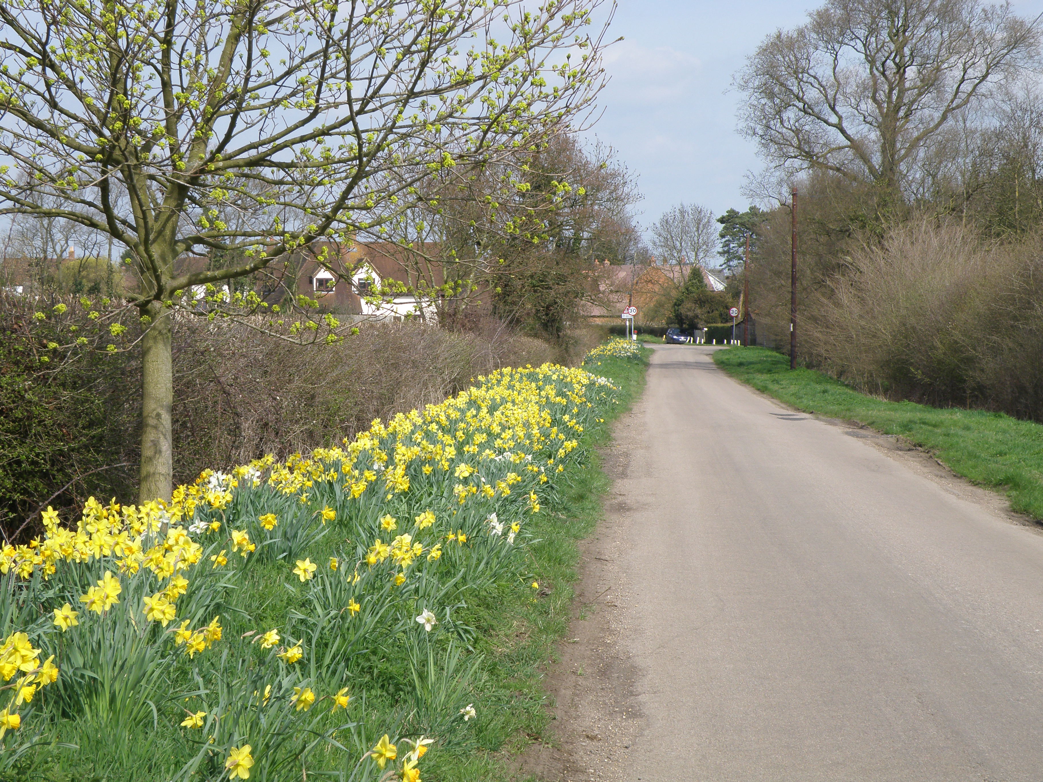
Riseley è una cittadina e un comune situato nel nord della contea del Bedfordshire, in Inghilterra. Il paese in passato era conosciuto anche come Rislau, Riseleg, Riselai and Risely, ad ogni modo tutti questi appellativi sono da considerarsi in disuso.[1] Con una popolazione di 1284 abitanti Riseley si trova vicino alle cittadine di Bletsoe, Sharnbrook, Swineshead, Pertenhall, Keysoe, Thurleigh and Melchbourne. La più vicina città è Rushden nella confinante contea di Northamptonshire, approssimativamente 13 km di distanza in direzione nord-ovest, mentre il capoluogo della contea, Bedford, è a circa 14 km. Il paese ha un solo corso d'acqua chiamato 'Brook', affluente del fiume Ouse,[1] attorno al quale in epoca medievale sorsero le prime abitazioni.
| Riseley parrocchia civile | |
|---|---|
 | |
| Localizzazione | |
| Stato | |
| Regione | Est |
| Contea | |
| Distretto | Bedford |
| Territorio | |
| Coordinate | 52°15′N 0°28′W |
| Abitanti | 1 284 (2001) |
| Altre informazioni | |
| Cod. postale | MK44 |
| Prefisso | 01234 |
| Fuso orario | UTC+0 |
| Cartografia | |
 Riseley | |
Storia
Le prime tracce scritte dell'esistenza di Riseley si trovano nel Domesday Book del 1086, dove l'abitato compare sotto il nome di Riselai, ed indicato come appartenente alla Centena di Stodden. Il Domesday Book descrive l'esistenza di un villaggio formato da venticinque nuclei famigliari, il quale era considerato grande per un insediamento dell'epoca.[2] Il censimento riporta inoltre che nel 1066 gran parte di Riseley era sotto la sovranità dello Sceriffo Godric, un uomo che si presume morì nella Battaglia di Hastings.
Note
- Risely or Riseley, su british-history.ac.uk.
- Place: Riseley, su domesdaymap.co.uk. URL consultato il 17 febbraio 2012 (archiviato dall'url originale il 7 ottobre 2013).
Altri progetti
 Wikimedia Commons contiene immagini o altri file su Riseley
На других языках
[en] Riseley, Bedfordshire
Riseley is a village and civil parish located in North Bedfordshire, England. The village name has had alternative spellings in the past such as Rislau, Riseleg, Riselai and Risely, however all these spellings are considered archaic.[2] It has a population of 1,284 according to the 2001 census,[3] increasing to 1,286 at the 2011 Census,[1] and is near the villages of Bletsoe, Sharnbrook, Swineshead, Pertenhall, Keysoe, Thurleigh and Melchbourne. The nearest town to Riseley is Rushden in the neighbouring county of Northamptonshire, approximately 8 miles away to the north west. The county town of Bedford is approximately 9 miles to the South of Riseley. The village has one watercourse, which is a tributary of the River Ouse,[2] flowing through it known locally as the 'Brook' around which in medieval times the village was built.- [it] Riseley
Другой контент может иметь иную лицензию. Перед использованием материалов сайта WikiSort.org внимательно изучите правила лицензирования конкретных элементов наполнения сайта.
WikiSort.org - проект по пересортировке и дополнению контента Википедии