world.wikisort.org - Regno_Unito
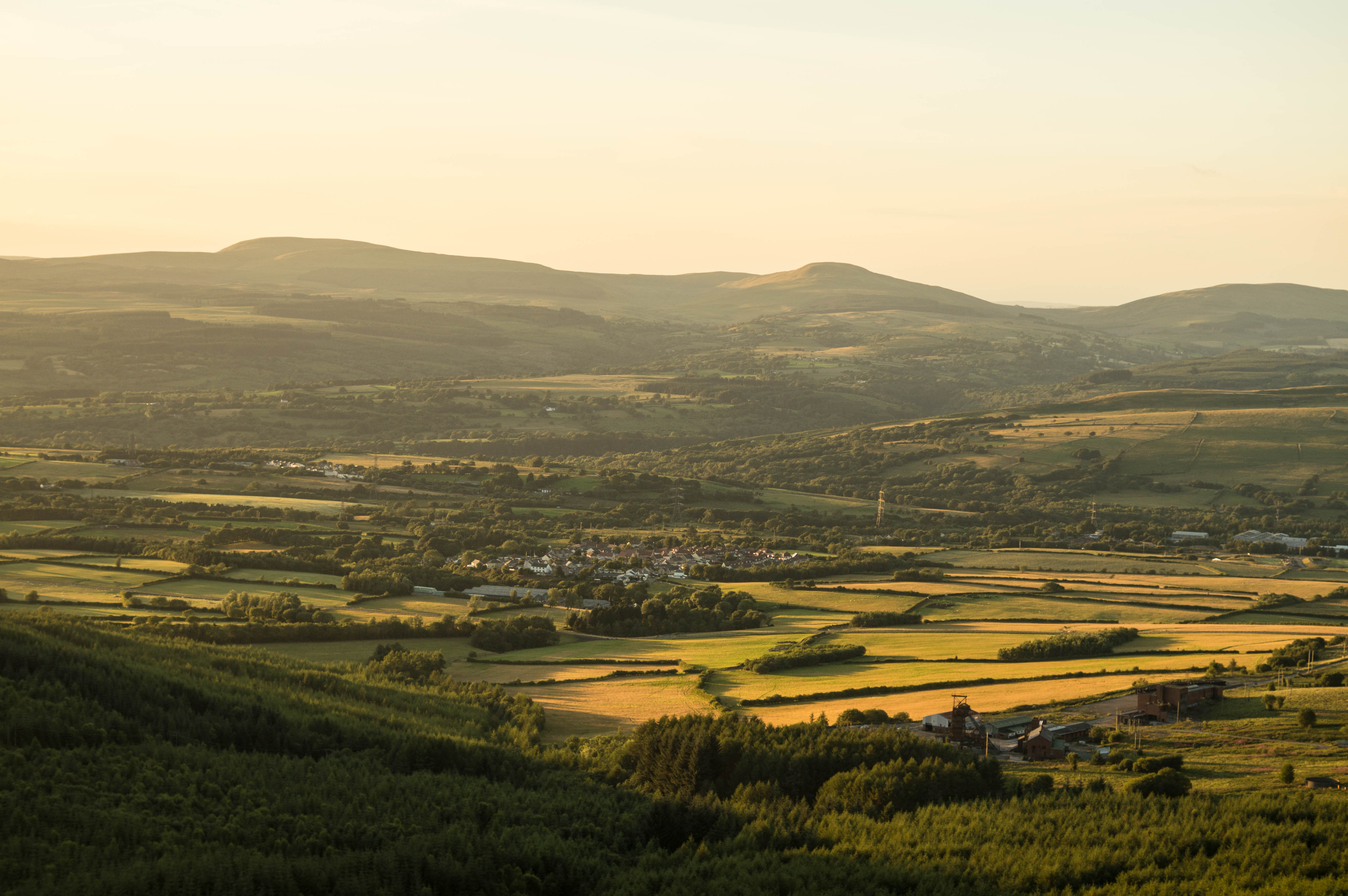
Rhigos è un centro abitato del Galles, situato nel distretto di contea di Rhondda Cynon Taf.
| Rhigos community | |
|---|---|
 | |
| Localizzazione | |
| Stato | |
| Area principale | Rhondda Cynon Taf |
| Territorio | |
| Coordinate | 51°43′59.88″N 3°34′00.01″W |
| Abitanti | 894 (2011) |
| Altre informazioni | |
| Fuso orario | UTC+0 |
| Cartografia | |
 Rhigos | |
Altri progetti
 Wikimedia Commons contiene immagini o altri file su Rhigos
На других языках
[en] Rhigos
Rhigos (/rˈiɡɒs/) is a small village on the saddle of higher ground between the Vale of Neath and the Cynon Valley. It was part of the old Neath Rural district Council under Glamorgan until 1974. The village then came under the jurisdiction of The Cynon Valley Borough which subsequently became Rhondda Cynon Taf, South Wales in 1996. It lies just off the old Aberdare road that was the main link between Aberdare and Glynneath, before the A465 road was extended in the 1960s. The hamlets of Cefn Rhigos and Cwm-Hwnt lie to the west of the main village.- [it] Rhigos
Текст в блоке "Читать" взят с сайта "Википедия" и доступен по лицензии Creative Commons Attribution-ShareAlike; в отдельных случаях могут действовать дополнительные условия.
Другой контент может иметь иную лицензию. Перед использованием материалов сайта WikiSort.org внимательно изучите правила лицензирования конкретных элементов наполнения сайта.
Другой контент может иметь иную лицензию. Перед использованием материалов сайта WikiSort.org внимательно изучите правила лицензирования конкретных элементов наполнения сайта.
2019-2026
WikiSort.org - проект по пересортировке и дополнению контента Википедии
WikiSort.org - проект по пересортировке и дополнению контента Википедии