world.wikisort.org - Regno_Unito
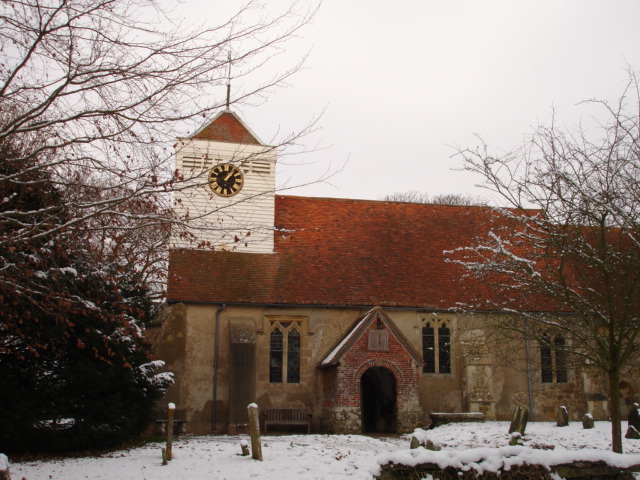
Ninfield è un villaggio e parrocchia civile dell'Inghilterra, appartenente alla contea dell'East Sussex.
| Ninfield parrocchia civile | |
|---|---|
 | |
| Localizzazione | |
| Stato | |
| Regione | Sud Est |
| Contea | |
| Distretto | Wealden |
| Territorio | |
| Coordinate | 50°53′24″N 0°25′48″E |
| Superficie | 10,6 km² |
| Abitanti | 1 562 (2011) |
| Densità | 147,36 ab./km² |
| Altre informazioni | |
| Cod. postale | TN33 |
| Fuso orario | UTC+0 |
| Cartografia | |
 Ninfield | |
Altri progetti
 Wikimedia Commons contiene immagini o altri file su Ninfield
Collegamenti esterni
- (EN) Sito web dell'East Sussex, su eastsussex.gov.uk.
На других языках
[en] Ninfield
Ninfield is a village and civil parish in the Wealden District of East Sussex, England. The village is quite linear and centred 4 miles (6.4 km) north of Bexhill-on-Sea where two roads cross: the A269 from Bexhill to Battle and the A271 to Hailsham. The parish covers 2,500 acres (1,010 ha); approximately the northern half of which is in the High Weald AONB.- [it] Ninfield
Текст в блоке "Читать" взят с сайта "Википедия" и доступен по лицензии Creative Commons Attribution-ShareAlike; в отдельных случаях могут действовать дополнительные условия.
Другой контент может иметь иную лицензию. Перед использованием материалов сайта WikiSort.org внимательно изучите правила лицензирования конкретных элементов наполнения сайта.
Другой контент может иметь иную лицензию. Перед использованием материалов сайта WikiSort.org внимательно изучите правила лицензирования конкретных элементов наполнения сайта.
2019-2026
WikiSort.org - проект по пересортировке и дополнению контента Википедии
WikiSort.org - проект по пересортировке и дополнению контента Википедии