world.wikisort.org - Regno_Unito
Marston Montgomery è un villaggio e parrocchia civile dell'Inghilterra, appartenente alla contea del Derbyshire.
| Marston Montgomery parrocchia civile | |
|---|---|
 | |
| Localizzazione | |
| Stato | |
| Regione | Midlands Orientali |
| Contea | |
| Distretto | Derbyshire Dales |
| Territorio | |
| Coordinate | 52°56′14.64″N 1°48′02.16″W |
| Abitanti | 448 (2011) |
| Altre informazioni | |
| Fuso orario | UTC+0 |
| Cartografia | |
 Marston Montgomery | |
 | |
Altri progetti
 Wikimedia Commons contiene immagini o altri file su Marston Montgomery
Collegamenti esterni
На других языках
[en] Marston Montgomery
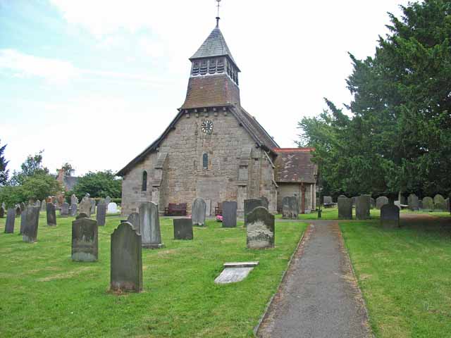
Marston Montgomery is a small village and civil parish in western Derbyshire. The population of the civil parish as of the 2011 census was at least 3.[1] It is four miles from the town of Uttoxeter, Staffordshire. The Church of Saint Giles dates back to Norman times but was heavily restored during the 19th century. The village's school also has a lengthy history, as it has been in existence since at least 1831.[2] Marston Montgomery is close to the villages of Cubley and Norbury.- [it] Marston Montgomery
Текст в блоке "Читать" взят с сайта "Википедия" и доступен по лицензии Creative Commons Attribution-ShareAlike; в отдельных случаях могут действовать дополнительные условия.
Другой контент может иметь иную лицензию. Перед использованием материалов сайта WikiSort.org внимательно изучите правила лицензирования конкретных элементов наполнения сайта.
Другой контент может иметь иную лицензию. Перед использованием материалов сайта WikiSort.org внимательно изучите правила лицензирования конкретных элементов наполнения сайта.
2019-2026
WikiSort.org - проект по пересортировке и дополнению контента Википедии
WikiSort.org - проект по пересортировке и дополнению контента Википедии