world.wikisort.org - Regno_Unito
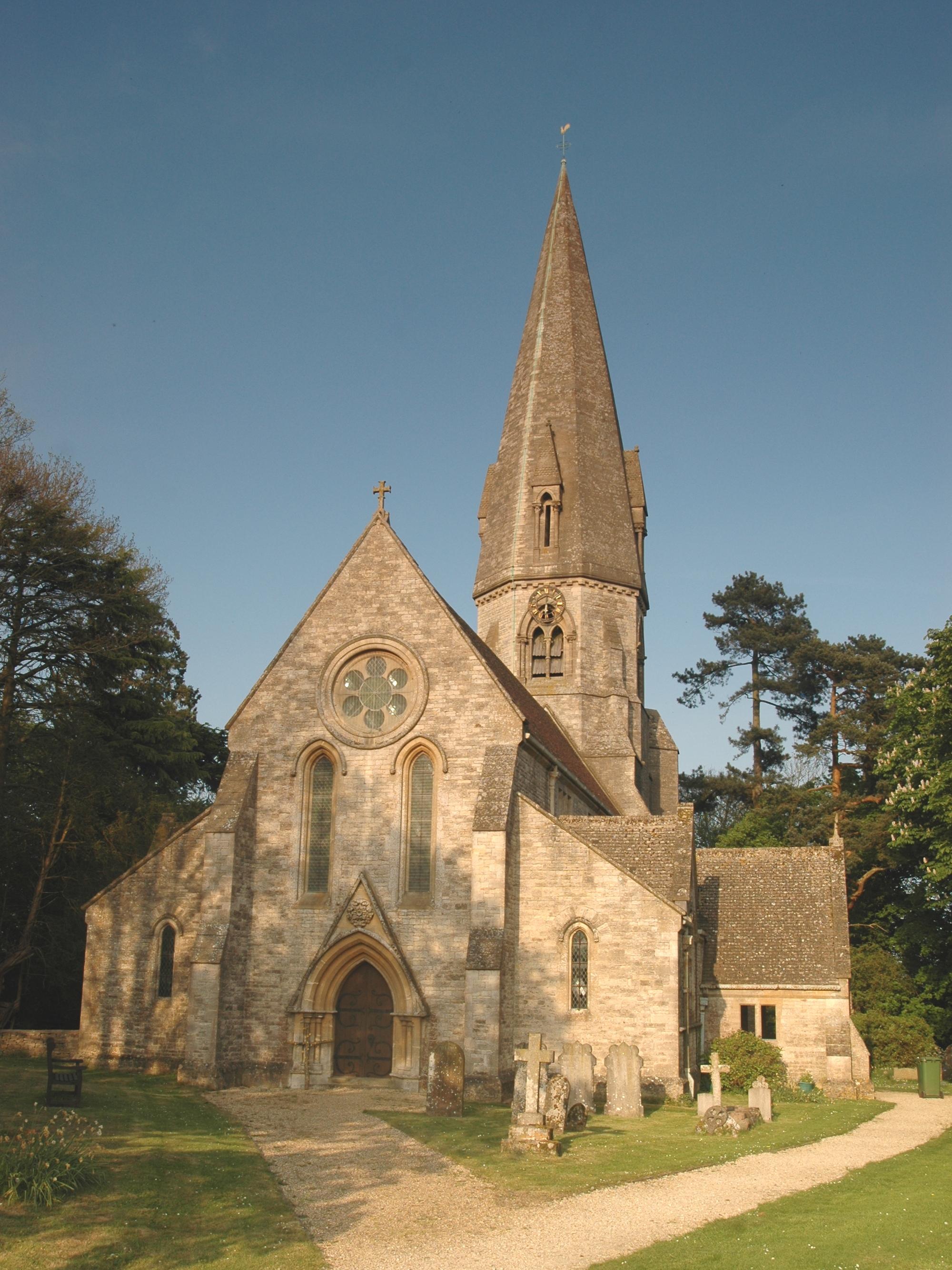
Leafield è un villaggio e parrocchia civile dell'Inghilterra, appartenente alla contea dell'Oxfordshire.
| Leafield parrocchia civile | |
|---|---|
 | |
| Localizzazione | |
| Stato | |
| Regione | Sud Est |
| Contea | |
| Distretto | West Oxfordshire |
| Territorio | |
| Coordinate | 51°50′20.4″N 1°32′42″W |
| Abitanti | 945 (2011) |
| Altre informazioni | |
| Cod. postale | OX29 |
| Prefisso | 01993 |
| Fuso orario | UTC+0 |
| Cartografia | |
 Leafield | |
| Sito istituzionale | |
Altri progetti
 Wikimedia Commons contiene immagini o altri file su Leafield
Collegamenti esterni
- Sito ufficiale, su leafieldvillage.co.uk.
- (EN) Sito web istituzionale dell'Oxfordshire, su oxfordshire.gov.uk.
На других языках
[en] Leafield
Leafield is a village and civil parish about 4 miles (6.4 km) northwest of Witney in West Oxfordshire. The parish includes the hamlet of Langley, 1 mile (1.6 km) west of Leafield village. The 2011 Census recorded the parish's population as 945.[1] The village is 635 feet (194 m) above sea level in the Cotswold Hills. It was the highest point in Oxfordshire until the 1974 county boundary changes enlarged the county.- [it] Leafield
Текст в блоке "Читать" взят с сайта "Википедия" и доступен по лицензии Creative Commons Attribution-ShareAlike; в отдельных случаях могут действовать дополнительные условия.
Другой контент может иметь иную лицензию. Перед использованием материалов сайта WikiSort.org внимательно изучите правила лицензирования конкретных элементов наполнения сайта.
Другой контент может иметь иную лицензию. Перед использованием материалов сайта WikiSort.org внимательно изучите правила лицензирования конкретных элементов наполнения сайта.
2019-2025
WikiSort.org - проект по пересортировке и дополнению контента Википедии
WikiSort.org - проект по пересортировке и дополнению контента Википедии