world.wikisort.org - Regno_Unito
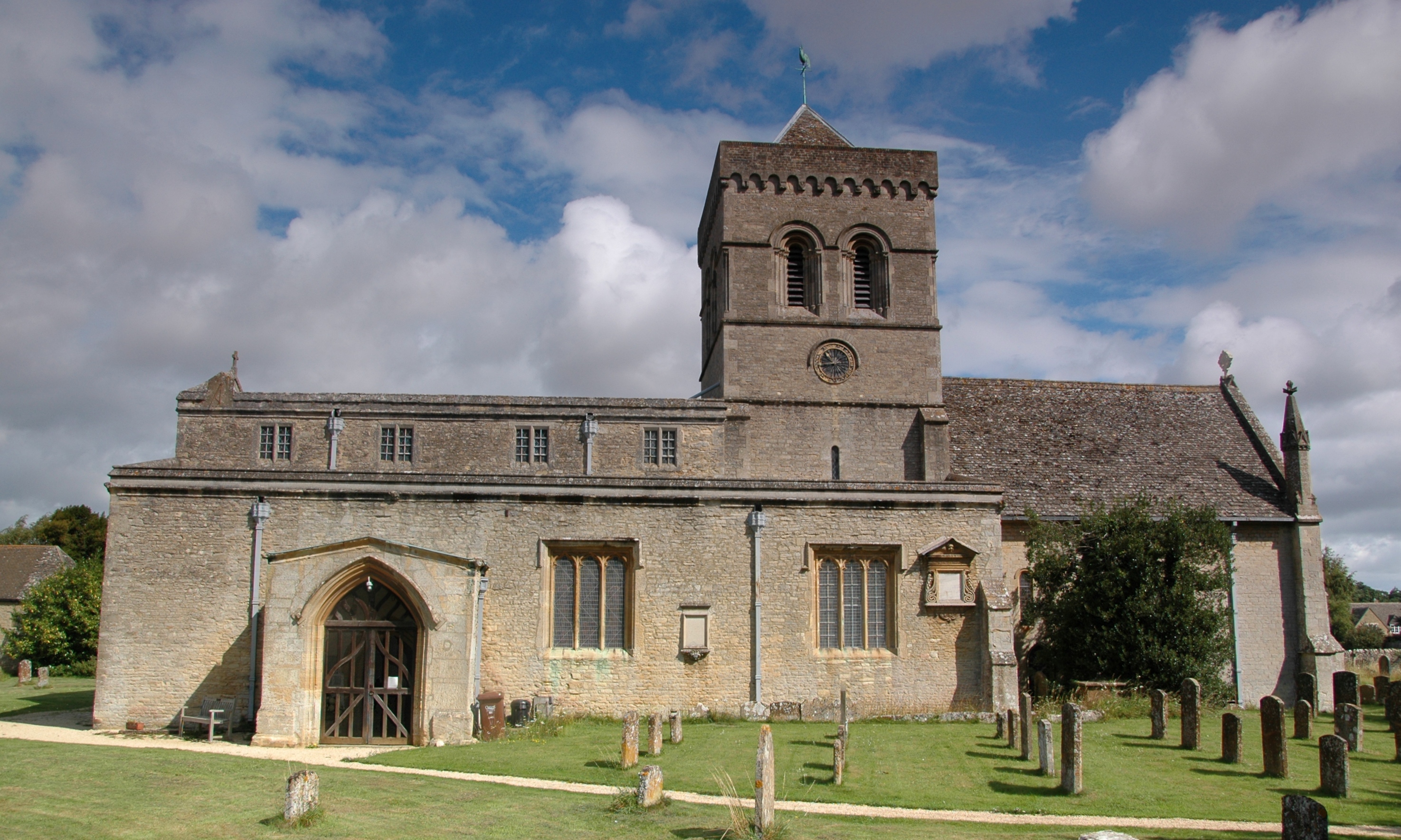
Kirtlington è un villaggio e parrocchia civile dell'Inghilterra, appartenente alla contea dell'Oxfordshire.
| Kirtlington parrocchia civile | |
|---|---|
 | |
| Localizzazione | |
| Stato | |
| Regione | Sud Est |
| Contea | |
| Distretto | Cherwell |
| Territorio | |
| Coordinate | 51°52′26.4″N 1°16′26.4″W |
| Superficie | 14,51 km² |
| Abitanti | 988 (2011) |
| Densità | 68,09 ab./km² |
| Altre informazioni | |
| Cod. postale | OX5 |
| Prefisso | 01869 |
| Fuso orario | UTC+0 |
| Cartografia | |
 Kirtlington | |
| Sito istituzionale | |
Altri progetti
 Wikimedia Commons contiene immagini o altri file su Kirtlington
Collegamenti esterni
- Sito ufficiale, su kirtlingtonvillage.co.uk.
- (EN) Sito web istituzionale dell'Oxfordshire, su oxfordshire.gov.uk.
| Controllo di autorità | VIAF (EN) 156187687 · LCCN (EN) nb2004309031 |
|---|
На других языках
[en] Kirtlington
Kirtlington is a village and civil parish in Oxfordshire about .mw-parser-output .frac{white-space:nowrap}.mw-parser-output .frac .num,.mw-parser-output .frac .den{font-size:80%;line-height:0;vertical-align:super}.mw-parser-output .frac .den{vertical-align:sub}.mw-parser-output .sr-only{border:0;clip:rect(0,0,0,0);height:1px;margin:-1px;overflow:hidden;padding:0;position:absolute;width:1px}6+1⁄2 miles (10.5 km) west of Bicester. The parish includes the hamlet of Northbrook. The 2011 Census recorded the parish's population as 988.[1] The parish measures nearly 3 mi (5 km) north–south and about 2+1⁄2 mi (4 km) east–west. It is bounded by the River Cherwell to the west, and elsewhere mostly by field boundaries. In 1959 its area was 3,582 acres (1,450 ha).[2]- [it] Kirtlington
Текст в блоке "Читать" взят с сайта "Википедия" и доступен по лицензии Creative Commons Attribution-ShareAlike; в отдельных случаях могут действовать дополнительные условия.
Другой контент может иметь иную лицензию. Перед использованием материалов сайта WikiSort.org внимательно изучите правила лицензирования конкретных элементов наполнения сайта.
Другой контент может иметь иную лицензию. Перед использованием материалов сайта WikiSort.org внимательно изучите правила лицензирования конкретных элементов наполнения сайта.
2019-2026
WikiSort.org - проект по пересортировке и дополнению контента Википедии
WikiSort.org - проект по пересортировке и дополнению контента Википедии