world.wikisort.org - Regno_Unito
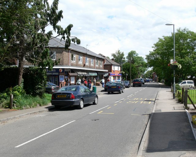
Kirby Muxloe è un villaggio e parrocchia civile dell'Inghilterra, appartenente alla contea del Leicestershire.
| Kirby Muxloe parrocchia civile | |
|---|---|
 | |
| Localizzazione | |
| Stato | |
| Regione | East Midlands |
| Contea | |
| Distretto | Blaby |
| Territorio | |
| Coordinate | 52°38′06.36″N 1°14′02.76″W |
| Abitanti | 4 667 (2011) |
| Altre informazioni | |
| Cod. postale | LE9 |
| Prefisso | 0116 |
| Fuso orario | UTC+0 |
| Cartografia | |
 Kirby Muxloe | |
| Sito istituzionale | |
Altri progetti
 Wikimedia Commons contiene immagini o altri file su Kirby Muxloe
Collegamenti esterni
- Sito ufficiale, su kirbymuxloe.net.
- (EN) Sito web istituzionale del Leicestershire, su leicestershire.gov.uk.
На других языках
[en] Kirby Muxloe
Kirby Muxloe is a large village and civil parish that forms part of the Blaby district of Leicestershire, England. Located to the west of Leicester, its proximity to the city has resulted in its inclusion in the Leicester Urban Area. The Leicester Forest East parish border runs along the Hinckley Road A47. According to the 2001 census, the parish had a population of 4,523,[1] which had increased to 4,667 at the 2011 census.[2]- [it] Kirby Muxloe
Текст в блоке "Читать" взят с сайта "Википедия" и доступен по лицензии Creative Commons Attribution-ShareAlike; в отдельных случаях могут действовать дополнительные условия.
Другой контент может иметь иную лицензию. Перед использованием материалов сайта WikiSort.org внимательно изучите правила лицензирования конкретных элементов наполнения сайта.
Другой контент может иметь иную лицензию. Перед использованием материалов сайта WikiSort.org внимательно изучите правила лицензирования конкретных элементов наполнения сайта.
2019-2025
WikiSort.org - проект по пересортировке и дополнению контента Википедии
WikiSort.org - проект по пересортировке и дополнению контента Википедии