world.wikisort.org - Regno_Unito
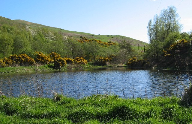
Kilham è un villaggio e parrocchia civile dell'Inghilterra, appartenente alla contea del Northumberland.
| Kilham parrocchia civile | |
|---|---|
 | |
| Localizzazione | |
| Stato | |
| Regione | Nord Est |
| Contea | |
| Distretto | Berwick-upon-Tweed |
| Territorio | |
| Coordinate | 55°35′09.6″N 2°11′06″W |
| Abitanti | 131 (2001) |
| Altre informazioni | |
| Cod. postale | TD12 |
| Prefisso | 01890 |
| Fuso orario | UTC+0 |
| Cartografia | |
 Kilham | |
Altri progetti
 Wikimedia Commons contiene immagini o altri file su Kilham (Northumberland)
Collegamenti esterni
- (EN) Sito web istituzionale del Northumberland, su northumberland.gov.uk.
На других языках
[en] Kilham, Northumberland
Kilham is a hamlet and civil parish in the English county of Northumberland, located 8.0 miles (12.9 km) west of Wooler, 12.0 miles (19.3 km) east of Kelso, 17.0 miles (27.4 km) south west of Berwick-upon-Tweed and 38.9 miles (62.6 km) north west of Morpeth. It lies on the northern edge of the Northumberland National Park in Bowmont Valley Northumberland. The hamlet, which consists of a small group of agricultural dwellings, is overlooked by Kilham Hill and the northern limits of the Cheviot Hills.[1] The parish had a population of 131 in 2001, and includes the hamlets of Howtel and Pawston, along with the former upland township of Coldsmouth and Thompson's Walls.[2] falling to less than 100 at the 2011 Census. Details are now included in the parish of Branxton- [it] Kilham (Northumberland)
Текст в блоке "Читать" взят с сайта "Википедия" и доступен по лицензии Creative Commons Attribution-ShareAlike; в отдельных случаях могут действовать дополнительные условия.
Другой контент может иметь иную лицензию. Перед использованием материалов сайта WikiSort.org внимательно изучите правила лицензирования конкретных элементов наполнения сайта.
Другой контент может иметь иную лицензию. Перед использованием материалов сайта WikiSort.org внимательно изучите правила лицензирования конкретных элементов наполнения сайта.
2019-2025
WikiSort.org - проект по пересортировке и дополнению контента Википедии
WikiSort.org - проект по пересортировке и дополнению контента Википедии