world.wikisort.org - Regno_Unito
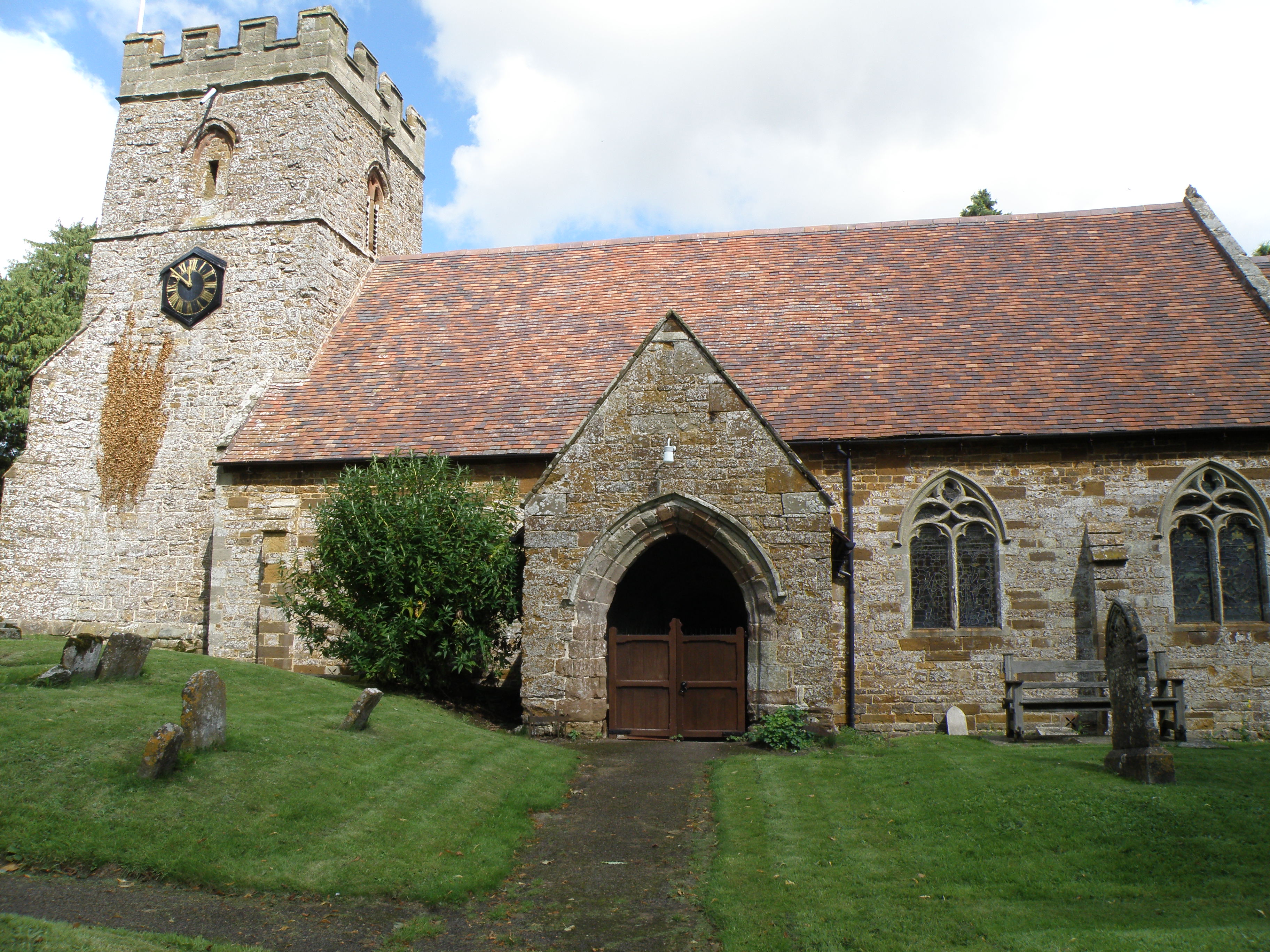
Hellidon è un villaggio e parrocchia civile dell'Inghilterra, appartenente alla contea del Northamptonshire.
| Hellidon parrocchia civile | |
|---|---|
 | |
| Localizzazione | |
| Stato | |
| Regione | Midlands Orientali |
| Contea | |
| Distretto | Daventry |
| Territorio | |
| Coordinate | 52°13′20.28″N 1°14′51″W |
| Abitanti | 256 (2011) |
| Altre informazioni | |
| Cod. postale | NN11 |
| Prefisso | 01327 |
| Fuso orario | UTC+0 |
| Cartografia | |
 Hellidon | |
| Sito istituzionale | |
Altri progetti
 Wikimedia Commons contiene immagini o altri file su Hellidon
Collegamenti esterni
- Sito ufficiale, su northantscalc.gov.uk.
- (EN) Sito web correlato al Northamptonshire, su www3.northamptonshire.gov.uk.
На других языках
[en] Hellidon
Hellidon is a village and civil parish about 5 miles (8 km) south-west of Daventry in Northamptonshire, England. The parish area is about 1,600 acres (650 ha).[2] It lies 520 feet (160 m) – 590 feet (180 m) above sea level on the north face of an ironstone ridge, its highest point, 670 feet (200 m) at Windmill Hill, being 0.5 miles (800 m) south-east of the village. The Leam and tributaries rise in the parish. The 2011 Census gave a population (with Lower and Upper Catesby) of 256,[1] estimated at 286 in 2019.[3] The long-distance Jurassic Way footpath linking Banbury, Oxfordshire, and Stamford, Lincolnshire, passes through. The origin of the name is unclear. "Holy Valley", "Haegla's Valley" and "Unstable valley" have been suggested, with the Old English "dun", meaning hill.[4]- [it] Hellidon
Текст в блоке "Читать" взят с сайта "Википедия" и доступен по лицензии Creative Commons Attribution-ShareAlike; в отдельных случаях могут действовать дополнительные условия.
Другой контент может иметь иную лицензию. Перед использованием материалов сайта WikiSort.org внимательно изучите правила лицензирования конкретных элементов наполнения сайта.
Другой контент может иметь иную лицензию. Перед использованием материалов сайта WikiSort.org внимательно изучите правила лицензирования конкретных элементов наполнения сайта.
2019-2025
WikiSort.org - проект по пересортировке и дополнению контента Википедии
WikiSort.org - проект по пересортировке и дополнению контента Википедии