world.wikisort.org - Regno_Unito
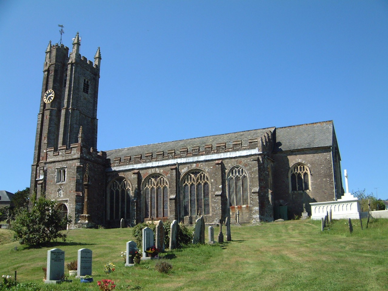
Harberton è un villaggio e parrocchia civile dell'Inghilterra, appartenente alla contea del Devon.
| Harberton parrocchia civile | |
|---|---|
 | |
| Localizzazione | |
| Stato | |
| Regione | Sud Ovest |
| Contea | Devon |
| Distretto | South Hams |
| Territorio | |
| Coordinate | 50°24′48.96″N 3°43′18.12″W |
| Abitanti | 2 217 (2011) |
| Altre informazioni | |
| Fuso orario | UTC+0 |
| Cartografia | |
 Harberton | |
Altri progetti
 Wikimedia Commons contiene immagini o altri file su Harberton
На других языках
[en] Harberton
Harberton is a village, civil parish and former manor 3 miles south west of Totnes, in the South Hams District of Devon, England. The parish includes the village of Harbertonford situated on the main A381 road. In the 2001 census the parish had a population of 1,285.[1] The village is a major part of the electoral ward of Avon and Harbourne. At the 2011 census the ward population was 2,217.[2]- [it] Harberton
Текст в блоке "Читать" взят с сайта "Википедия" и доступен по лицензии Creative Commons Attribution-ShareAlike; в отдельных случаях могут действовать дополнительные условия.
Другой контент может иметь иную лицензию. Перед использованием материалов сайта WikiSort.org внимательно изучите правила лицензирования конкретных элементов наполнения сайта.
Другой контент может иметь иную лицензию. Перед использованием материалов сайта WikiSort.org внимательно изучите правила лицензирования конкретных элементов наполнения сайта.
2019-2026
WikiSort.org - проект по пересортировке и дополнению контента Википедии
WikiSort.org - проект по пересортировке и дополнению контента Википедии