world.wikisort.org - Regno_Unito
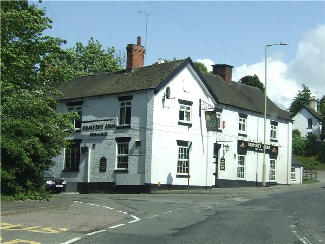
Draycotts in the Moors è una parrocchia civile inglese del distretto di Staffordshire Moorlands, contea di Staffordshire. Essa si trova tra Newcastle-under-Lyme ed Uttoxeter, a due miglia e mezzo da Cheadle ed è vicino alla stazione ferroviaria di Blythe Bridge, sulla ferrovia North Staffordshire Railway.[1]
| Draycotts in the Moors parrocchia civile | |
|---|---|
 | |
| Localizzazione | |
| Stato | |
| Regione | Midlands Occidentali |
| Contea | |
| Distretto | Staffordshire Moorlands |
| Territorio | |
| Coordinate | 52°27′25″N 2°01′34″W |
| Superficie | 15,87 km² |
| Abitanti | 1 029 (2011) |
| Densità | 64,84 ab./km² |
| Altre informazioni | |
| Cod. postale | ST11 |
| Prefisso | 01782 |
| Fuso orario | UTC+0 |
| Cartografia | |
 Draycotts in the Moors | |
 | |
Note
- (EN) History, Gazetteer and Directory of Staffordshire, William White, Sheffield, 1851. (accesso 28 febbraio 2009
Altri progetti
 Wikimedia Commons contiene immagini o altri file su Draycott in the Moors
| Controllo di autorità | VIAF (EN) 128291803 · LCCN (EN) nr97008383 |
|---|
На других языках
[en] Draycott in the Moors
Draycott in the Moors is a village between Stoke on Trent and Uttoxeter near the River Blythe. It is two and a half miles from Cheadle and is near Blythe Bridge railway station, on the North Staffordshire Railway.[2]- [it] Draycott in the Moors
Текст в блоке "Читать" взят с сайта "Википедия" и доступен по лицензии Creative Commons Attribution-ShareAlike; в отдельных случаях могут действовать дополнительные условия.
Другой контент может иметь иную лицензию. Перед использованием материалов сайта WikiSort.org внимательно изучите правила лицензирования конкретных элементов наполнения сайта.
Другой контент может иметь иную лицензию. Перед использованием материалов сайта WikiSort.org внимательно изучите правила лицензирования конкретных элементов наполнения сайта.
2019-2025
WikiSort.org - проект по пересортировке и дополнению контента Википедии
WikiSort.org - проект по пересортировке и дополнению контента Википедии