world.wikisort.org - Regno_Unito
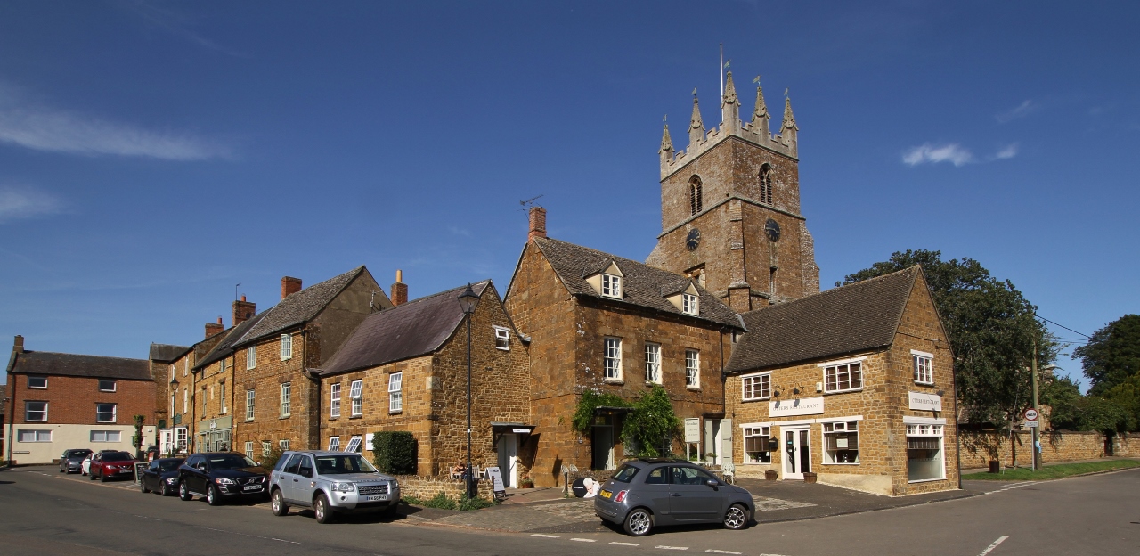
Deddington è un villaggio e parrocchia civile dell'Inghilterra, appartenente alla contea dell'Oxfordshire.
| Deddington parrocchia civile | |
|---|---|
 | |
| Localizzazione | |
| Stato | |
| Regione | Sud Est |
| Contea | |
| Distretto | Cherwell |
| Territorio | |
| Coordinate | 51°59′20.4″N 1°19′12″W |
| Superficie | 17,23 km² |
| Abitanti | 2 146 (2011) |
| Densità | 124,55 ab./km² |
| Altre informazioni | |
| Cod. postale | OX15 |
| Prefisso | 01869 |
| Fuso orario | UTC+0 |
| Cartografia | |
 Deddington | |
| Sito istituzionale | |
Altri progetti
 Wikimedia Commons contiene immagini o altri file su Deddington
Collegamenti esterni
- Sito ufficiale, su deddington.org.uk.
- (EN) Sito web istituzionale dell'Oxfordshire, su oxfordshire.gov.uk.
| Controllo di autorità | VIAF (EN) 144520062 · LCCN (EN) no00032576 · WorldCat Identities (EN) lccn-no00032576 |
|---|
На других языках
[en] Deddington
Deddington is a civil parish and small town in Oxfordshire about 6 miles (10 km) south of Banbury. The parish includes two hamlets: Clifton and Hempton. The 2011 Census recorded the parish's population as 2,146.[1] Deddington is a small settlement but has a commercial centre including a market place, which hosts a popular monthly farmer’s market. It has been a market town probably since the 12th century.[2] One of the Hundred Rolls of King Edward I from 1275–76 records Deddington as a borough.[3] It has a deli, coffee shop, restaurant, three pubs and a town hall (see below). Its football team is called Deddington Town FC.[4]- [it] Deddington
Текст в блоке "Читать" взят с сайта "Википедия" и доступен по лицензии Creative Commons Attribution-ShareAlike; в отдельных случаях могут действовать дополнительные условия.
Другой контент может иметь иную лицензию. Перед использованием материалов сайта WikiSort.org внимательно изучите правила лицензирования конкретных элементов наполнения сайта.
Другой контент может иметь иную лицензию. Перед использованием материалов сайта WikiSort.org внимательно изучите правила лицензирования конкретных элементов наполнения сайта.
2019-2026
WikiSort.org - проект по пересортировке и дополнению контента Википедии
WikiSort.org - проект по пересортировке и дополнению контента Википедии