world.wikisort.org - Regno_Unito
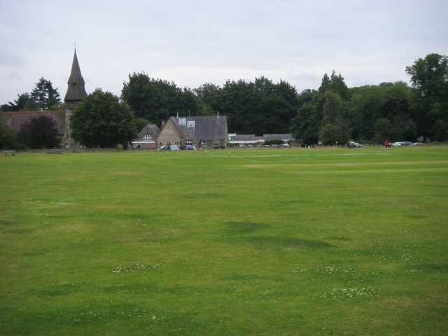
Chorleywood è un paese di 6.814 abitanti della contea dell'Hertfordshire, in Inghilterra.
| Chorleywood parrocchia civile | |
|---|---|
 | |
| Localizzazione | |
| Stato | |
| Regione | Est |
| Contea | Hertfordshire |
| Distretto | Three Rivers |
| Territorio | |
| Coordinate | 51°39′N 0°30′W |
| Abitanti | 6 814 (2001) |
| Altre informazioni | |
| Cod. postale | WD3 |
| Prefisso | 01923, 01927 |
| Fuso orario | UTC+0 |
| Cartografia | |
 Chorleywood | |
| Sito istituzionale | |
Amministrazione
Gemellaggi
 Dardilly, Francia
Altri progetti
 Wikimedia Commons contiene immagini o altri file su Chorleywood
Collegamenti esterni
- Sito ufficiale, su chorleywood-pc.gov.uk.
| Controllo di autorità | VIAF (EN) 154771133 · LCCN (EN) n80117456 · WorldCat Identities (EN) lccn-n80117456 |
|---|
На других языках
[en] Chorleywood
Chorleywood is both a village and a civil parish in the Three Rivers District, Hertfordshire, on the border with Buckinghamshire, approximately 20 miles (32 km) northwest of Charing Cross. The village is adjacent to the Chiltern Hills Area of Outstanding Natural Beauty and is part of the London commuter belt included in the government-defined Greater London Urban Area. Chorleywood was historically part of the parish of Rickmansworth, becoming a separate ecclesiastical parish in 1845 and a separate civil parish in 1898. The population of the parish was 11,286 at the 2011 census.[fr] Chorleywood
Chorleywood est une commune du Royaume-Uni, située dans le district de Three Rivers et le comté du Hertfordshire.- [it] Chorleywood
Текст в блоке "Читать" взят с сайта "Википедия" и доступен по лицензии Creative Commons Attribution-ShareAlike; в отдельных случаях могут действовать дополнительные условия.
Другой контент может иметь иную лицензию. Перед использованием материалов сайта WikiSort.org внимательно изучите правила лицензирования конкретных элементов наполнения сайта.
Другой контент может иметь иную лицензию. Перед использованием материалов сайта WikiSort.org внимательно изучите правила лицензирования конкретных элементов наполнения сайта.
2019-2026
WikiSort.org - проект по пересортировке и дополнению контента Википедии
WikiSort.org - проект по пересортировке и дополнению контента Википедии