world.wikisort.org - Regno_Unito
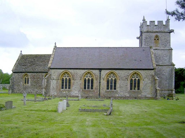
Chetnole è un villaggio e parrocchia civile dell'Inghilterra, appartenente alla contea del Dorset.
| Chetnole parrocchia civile | |
|---|---|
 | |
| Localizzazione | |
| Stato | |
| Regione | Sud Ovest |
| Contea | |
| Distretto | West Dorset |
| Territorio | |
| Coordinate | 50°52′08.4″N 2°34′01.2″W |
| Abitanti | 330 (2011) |
| Altre informazioni | |
| Fuso orario | UTC+0 |
| Cartografia | |
 Chetnole | |
Altri progetti
 Wikimedia Commons contiene immagini o altri file su Chetnole
На других языках
[en] Chetnole
Chetnole is a village and civil parish in the county of Dorset in southern England. It lies approximately 6 miles (9.7 km) south-southwest of Sherborne and 5.5 miles (8.9 km) southeast of Yeovil in Somerset. It is sited on Oxford clay[2] by the small Wriggle River at the western end of the Blackmore Vale. There are around 128 houses in the village. It has a railway station on the Heart of Wessex Line that is served by Great Western Railway services. Dorset County Council estimate that in 2013 the population of the parish was 330.[1] In the 2011 census the population of Chetnole parish combined with the small parish of Stockwood to the west was 344.[3]- [it] Chetnole
Текст в блоке "Читать" взят с сайта "Википедия" и доступен по лицензии Creative Commons Attribution-ShareAlike; в отдельных случаях могут действовать дополнительные условия.
Другой контент может иметь иную лицензию. Перед использованием материалов сайта WikiSort.org внимательно изучите правила лицензирования конкретных элементов наполнения сайта.
Другой контент может иметь иную лицензию. Перед использованием материалов сайта WikiSort.org внимательно изучите правила лицензирования конкретных элементов наполнения сайта.
2019-2026
WikiSort.org - проект по пересортировке и дополнению контента Википедии
WikiSort.org - проект по пересортировке и дополнению контента Википедии