world.wikisort.org - Regno_Unito
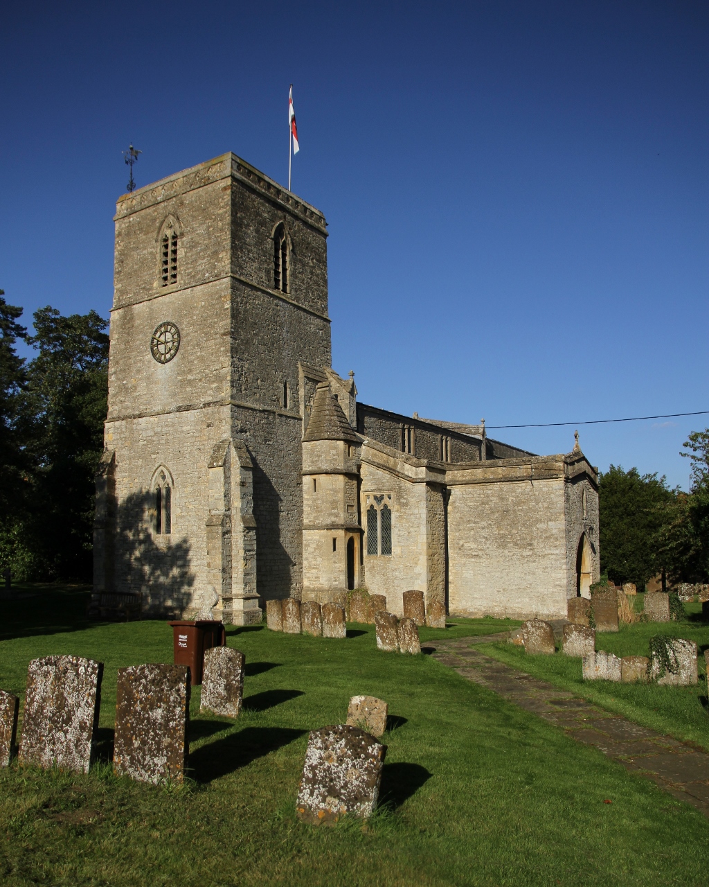
Chesterton è un villaggio e parrocchia civile dell'Inghilterra, appartenente alla contea dell'Oxfordshire.
| Chesterton parrocchia civile | |
|---|---|
 | |
| Localizzazione | |
| Stato | |
| Regione | Sud Est |
| Contea | |
| Distretto | Cherwell |
| Territorio | |
| Coordinate | 51°53′16.8″N 1°11′02.4″W |
| Superficie | 13,2 km² |
| Abitanti | 850 (2011) |
| Densità | 64,39 ab./km² |
| Altre informazioni | |
| Cod. postale | OX26 |
| Prefisso | 01869 |
| Fuso orario | UTC+0 |
| Cartografia | |
 Chesterton | |
Altri progetti
 Wikimedia Commons contiene immagini o altri file su Chesterton (Oxfordshire)
Collegamenti esterni
- (EN) Sito web istituzionale dell'Oxfordshire, su oxfordshire.gov.uk.
На других языках
[en] Chesterton, Oxfordshire
Chesterton is a village and civil parish on Gagle Brook, a tributary of the Langford Brook in north Oxfordshire. The village is about .mw-parser-output .frac{white-space:nowrap}.mw-parser-output .frac .num,.mw-parser-output .frac .den{font-size:80%;line-height:0;vertical-align:super}.mw-parser-output .frac .den{vertical-align:sub}.mw-parser-output .sr-only{border:0;clip:rect(0,0,0,0);height:1px;margin:-1px;overflow:hidden;padding:0;position:absolute;width:1px}1+1⁄2 miles (2.4 km) southwest of the market town of Bicester. The village has sometimes been called Great Chesterton[1] to distinguish it from the hamlet of Little Chesterton, about 3⁄4 mile (1.2 km) to the south in the same parish.[2] The 2011 Census recorded the parish population as 850.[3]- [it] Chesterton (Oxfordshire)
Текст в блоке "Читать" взят с сайта "Википедия" и доступен по лицензии Creative Commons Attribution-ShareAlike; в отдельных случаях могут действовать дополнительные условия.
Другой контент может иметь иную лицензию. Перед использованием материалов сайта WikiSort.org внимательно изучите правила лицензирования конкретных элементов наполнения сайта.
Другой контент может иметь иную лицензию. Перед использованием материалов сайта WikiSort.org внимательно изучите правила лицензирования конкретных элементов наполнения сайта.
2019-2025
WikiSort.org - проект по пересортировке и дополнению контента Википедии
WikiSort.org - проект по пересортировке и дополнению контента Википедии