world.wikisort.org - Regno_Unito
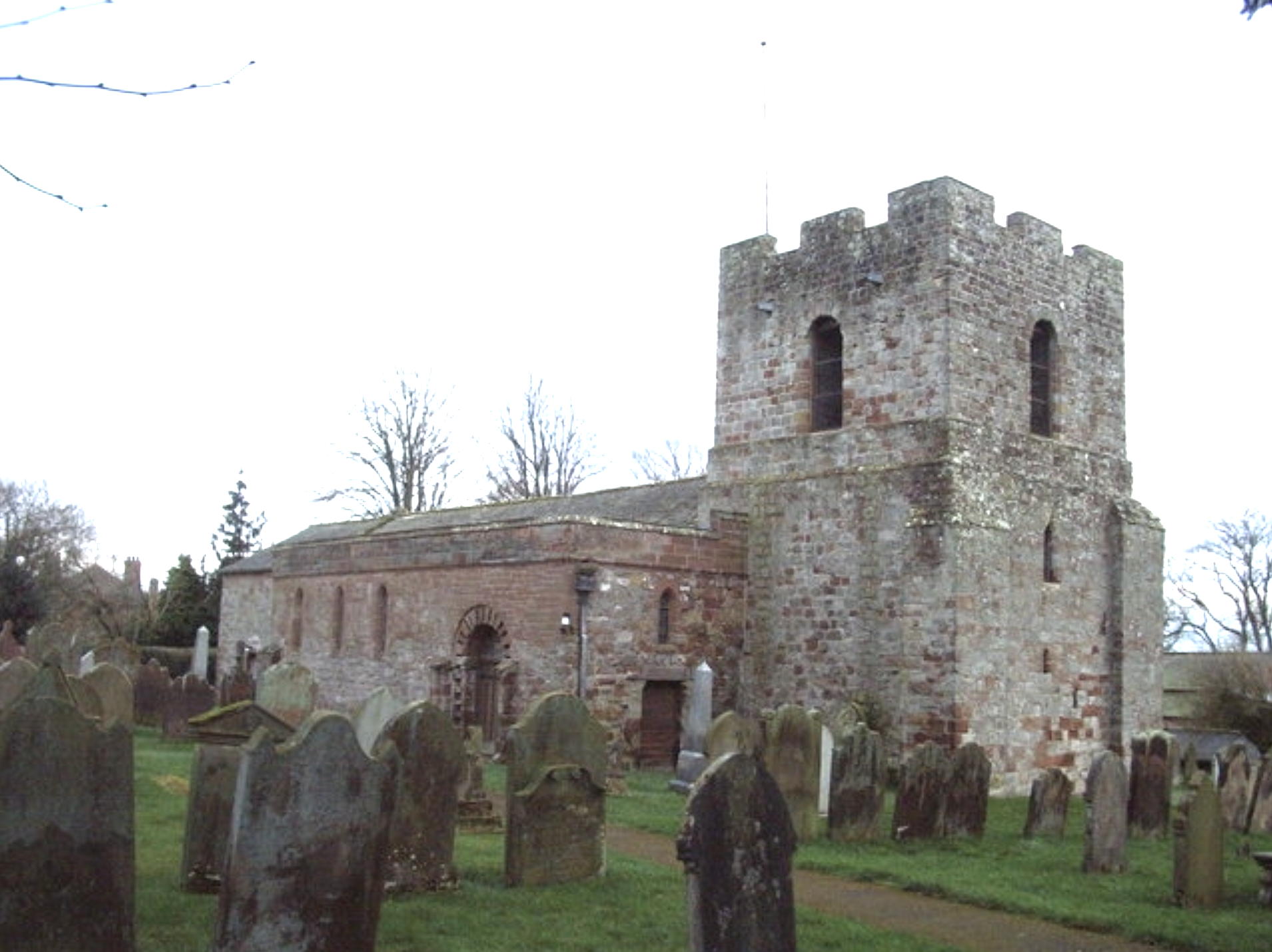
Burgh by Sands è un villaggio e parrocchia civile dell'Inghilterra, appartenente alla contea della Cumbria.
| Burgh by Sands parrocchia civile | |
|---|---|
 | |
| Localizzazione | |
| Stato | |
| Regione | Nord Ovest |
| Contea | |
| Distretto | City of Carlisle |
| Territorio | |
| Coordinate | 54°55′23″N 3°03′03″W |
| Abitanti | 1 176 (2011) |
| Altre informazioni | |
| Cod. postale | CA5 |
| Prefisso | 01228 |
| Fuso orario | UTC+0 |
| Cartografia | |
 Burgh by Sands | |
Altri progetti
 Wikimedia Commons contiene immagini o altri file su Burgh by Sands
| Controllo di autorità | VIAF (EN) 137457427 · LCCN (EN) nb2005006254 · GND (DE) 7717685-6 |
|---|
На других языках
[en] Burgh by Sands
Burgh by Sands (/ˈbrʌf/ (listen)) is a village and civil parish in the City of Carlisle district of Cumbria, England, situated near the Solway Firth. The parish includes the village of Burgh by Sands along with Longburgh, Dykesfield, Boustead Hill, Moorhouse and Thurstonfield. It is notable as the site of the first recorded North African (Moorish) military unit in Roman Britain, garrisoning the frontier fort of Aballava on Hadrian's Wall in the 3rd century AD.[1] It is also where Edward I of England died in 1307.[2]- [it] Burgh by Sands
Текст в блоке "Читать" взят с сайта "Википедия" и доступен по лицензии Creative Commons Attribution-ShareAlike; в отдельных случаях могут действовать дополнительные условия.
Другой контент может иметь иную лицензию. Перед использованием материалов сайта WikiSort.org внимательно изучите правила лицензирования конкретных элементов наполнения сайта.
Другой контент может иметь иную лицензию. Перед использованием материалов сайта WikiSort.org внимательно изучите правила лицензирования конкретных элементов наполнения сайта.
2019-2026
WikiSort.org - проект по пересортировке и дополнению контента Википедии
WikiSort.org - проект по пересортировке и дополнению контента Википедии