world.wikisort.org - Regno_Unito
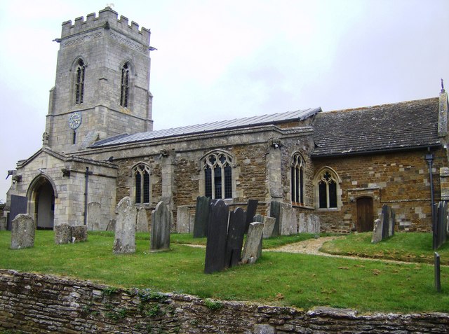
Belton-in-Rutland è un villaggio e parrocchia civile dell'Inghilterra, appartenente alla contea del Rutland.
| Belton-in-Rutland parrocchia civile | |
|---|---|
 | |
| Localizzazione | |
| Stato | |
| Regione | Midlands Orientali |
| Contea | |
| Distretto | Rutland |
| Territorio | |
| Coordinate | 52°36′N 0°48′W |
| Superficie | 4,14 km² |
| Abitanti | 348 (2011) |
| Densità | 83,98 ab./km² |
| Altre informazioni | |
| Cod. postale | LE15 |
| Prefisso | 01572 |
| Fuso orario | UTC+0 |
| Cartografia | |
 Belton-in-Rutland | |
Altri progetti
 Wikimedia Commons contiene immagini o altri file su Belton-in-Rutland
Collegamenti esterni
- (EN) Sito web istituzionale del Rutland, su rutland.gov.uk.
На других языках
[en] Belton-in-Rutland
Belton-in-Rutland is a village and civil parish in the county of Rutland in the East Midlands of England. The population at the 2001 census was 345 increasing to 348 at the 2011 census.[3] It is situated about six miles (9.6 km) southwest of Oakham and about four miles (6.4 km) west of Uppingham and overlooks the A47. The Eye Brook forms the county boundary with Leicestershire.- [it] Belton-in-Rutland
Текст в блоке "Читать" взят с сайта "Википедия" и доступен по лицензии Creative Commons Attribution-ShareAlike; в отдельных случаях могут действовать дополнительные условия.
Другой контент может иметь иную лицензию. Перед использованием материалов сайта WikiSort.org внимательно изучите правила лицензирования конкретных элементов наполнения сайта.
Другой контент может иметь иную лицензию. Перед использованием материалов сайта WikiSort.org внимательно изучите правила лицензирования конкретных элементов наполнения сайта.
2019-2026
WikiSort.org - проект по пересортировке и дополнению контента Википедии
WikiSort.org - проект по пересортировке и дополнению контента Википедии